Old Maps of Summit Township, Pennsylvania for Genealogy
Trace your family roots with 32 historic maps of Summit Township. These high-res maps reveal old neighborhoods, homesites, landmarks, and streets — helping you uncover where your ancestors lived and how the area evolved over time.
- Explore historic neighborhoods: Identify where your relatives may have lived in the 1800s or 1900s.
- Compare maps over time: Trace the changes in streets, buildings, and landmarks for multi-generational research.
- Perfect for genealogy & ancestry research: Used by family historians and researchers to map out lineage and migration.
These maps are an incredible resource for exploring your personal connection to Summit Township's past.
Summit Township, PA maps
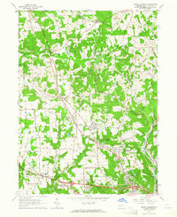
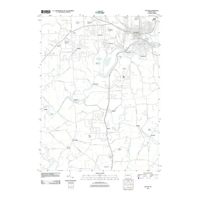
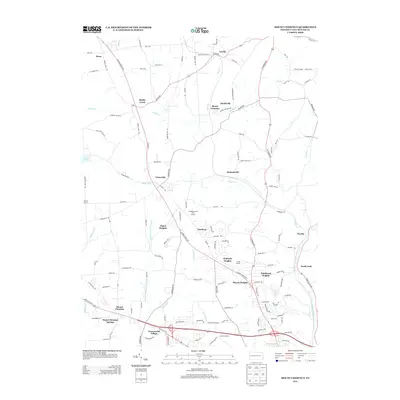
(32)- 1909 Map of Butler, 1957 Print
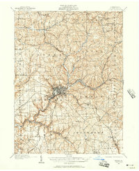 1909 Butler1957 Print · USGSButler and its surrounding townships thrive at the peak of the rail era, before the dominance of modern highways. Genealogists can trace family roots through numerous local schools and churches, from Lyndora and Unionville to White Church and Elliott School.2 unique versions available
 - 1911 Map of Butler
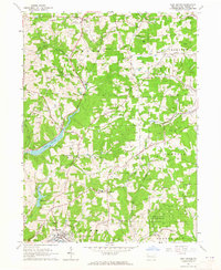
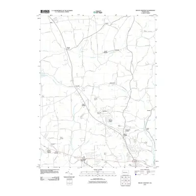
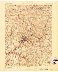 1911 Butler1911 Print · USGSButler emerges as a bustling rail and trolley hub during the first decade of the twentieth century. Genealogists and local historians can trace the paths of the Pittsburg and Butler Electric Railway or locate family homesteads near Frazier Mill and White Church.5 unique versions available
 - 1953 Map of Pittsburgh
 1953 Pittsburgh1953 Print · USGSWestern Pennsylvania's industrial landscape at the start of the fifties shows the steel and rail corridors between Pittsburgh and Altoona. Trace family roots in river towns like Tarentum or follow the Pennsylvania Turnpike across Laurel Hill.
 - 1954 Map of Pittsburgh
 1954 Pittsburgh1954 Print · USGSWestern Pennsylvania in the early fifties remains a powerhouse of heavy industry and vital transit corridors. Genealogists and historians can trace the rail-and-river network connecting Pittsburgh, Johnstown, and Altoona via the Pennsylvania RR and the Lincoln Highway.2 unique versions available
 - 1958 Map of Pittsburgh
 1958 Pittsburgh1958 Print · USGSWestern Pennsylvania in the late fifties shows an industrial heartland defined by the confluence of the Allegheny River and Monongahela River. Researchers can trace the sprawling rail networks of the Pennsylvania RR and find established towns like Butler, Latrobe, and Windber.5 unique versions available
 - 1958 Map of Butler
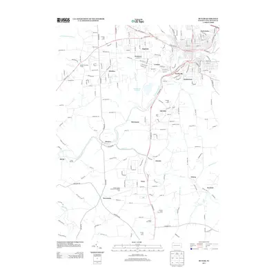
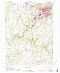 1958 Butler1958 Print · USGSButler and its industrial suburbs thrive during the late fifties as a major rail hub for three different lines. Researchers can trace family roots at Old Brownsdale Cem, locate the old Deshon V-A Hospital, or find vanished landmarks like the Drive-in Theater.3 unique versions available
 - 1958 Map of Saxonburg, 1959 Print
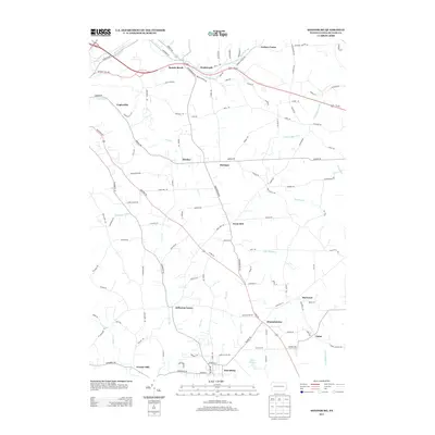
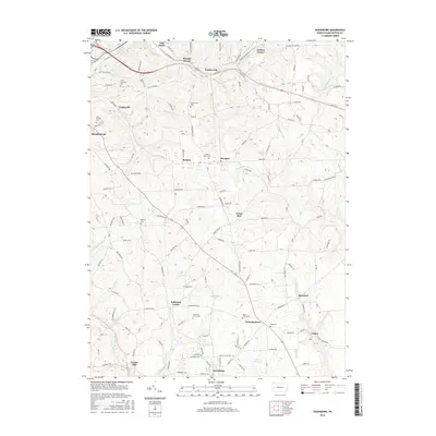
 1958 Saxonburg1959 Print · USGSButler County in the late fifties is captured here as a landscape of small rail-side hamlets and hilltop schoolhouses. You can trace the legacy of local families through Gruenwalt Cem and Jefferson Center Cem, or follow the busy tracks of the Baltimore and Ohio railroad.4 unique versions available
 - 1959 Map of Pittsburgh
 1959 Pittsburgh1959 Print · USGSWestern Pennsylvania in the late fifties is captured here at the height of its industrial era. Genealogists and historians can trace the riverfront growth of Pittsburgh, the rail works at Altoona, and the mountain gaps of Laurel Hill.
 - 1964 Map of Pittsburgh
 1964 Pittsburgh1964 Print · USGSWestern Pennsylvania in the late fifties and early sixties shows a landscape of powerful river industries and expanding highways. Genealogists and historians can trace the rail corridors of the Pennsylvania RR through industrial hubs like Johnstown, Altoona, and Nanty Glo.
 - 1964 Map of Mount Chestnut, 1965 Print
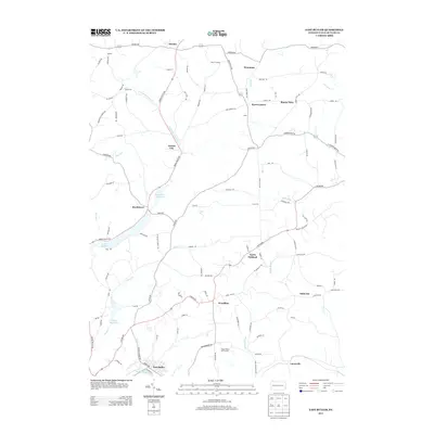
 1964 Mount Chestnut1965 Print · USGSButler County's hills were undergoing a mid-century shift during the 1960s as new subdivisions and highways began to border traditional rail junctions. Researchers can trace family roots at Mount Chestnut Cem or locate community hubs like Unionville and the Drive-in Theater.4 unique versions available
 - 1964 Map of East Butler, 1965 Print
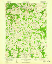
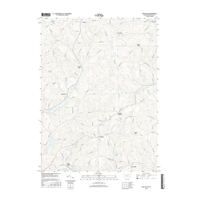
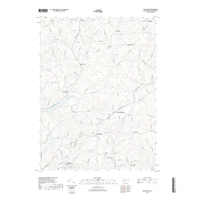
 1964 East Butler1965 Print · USGSButler County in the mid-1960s reveals a landscape defined by industrial rail lines and emerging recreation. Genealogists and historians can trace rail-side settlements like Hooker and St Joe or locate local landmarks such as St Wendelin Sch and the Drive-in Theater.5 unique versions available
 - 1983 Map of Indiana
 1983 Indiana1983 Print · USGSWestern Pennsylvania in the early eighties shows a landscape of industrial river towns and expanding university campuses. Genealogists can trace family roots through Lucernemines and Spring Church, or locate ancestors in Oakland Cemetery.
 - 2010 Map of Saxonburg, 2010 Print
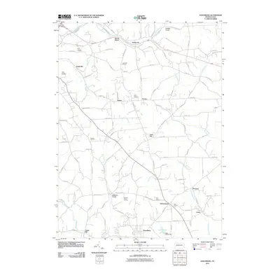 2010 Saxonburg2010 Print · USGSCovers Summit Township, including Saxonburg, Brinker, and other nearby areas
 - 2010 Map of East Butler, 2010 Print
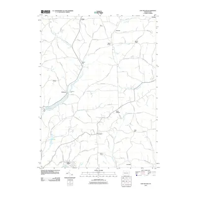 2010 East Butler2010 Print · USGSCovers Summit Township, including East Butler, Concord Township, and other nearby areas
 - 2010 Map of Butler, 2010 Print
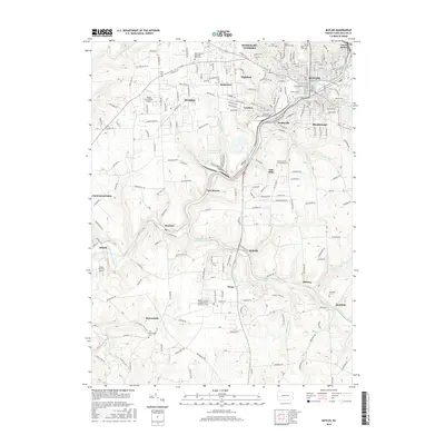
 2010 Butler2010 Print · USGSCovers Summit Township, including Butler, Connoquenessing Township, and other nearby areas
 - 2010 Map of Mount Chestnut, 2010 Print
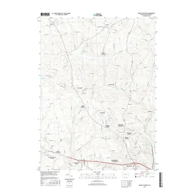
 2010 Mount Chestnut2010 Print · USGSCovers Summit Township, including Butler, Muddy Creek, and other nearby areas
 - 2013 Map of Saxonburg, 2013 Print
 2013 Saxonburg2013 Print · USGSCovers Summit Township, including Saxonburg, Brinker, and other nearby areas
 - 2013 Map of Butler, 2013 Print
 2013 Butler2013 Print · USGSCovers Summit Township, including Butler, Connoquenessing Township, and other nearby areas
 - 2013 Map of Mount Chestnut, 2013 Print
 2013 Mount Chestnut2013 Print · USGSCovers Summit Township, including Butler, Muddy Creek, and other nearby areas
 - 2013 Map of East Butler, 2013 Print
 2013 East Butler2013 Print · USGSCovers Summit Township, including East Butler, Concord Township, and other nearby areas
 - 2016 Map of Butler, 2016 Print
 2016 Butler2016 Print · USGSCovers Summit Township, including Butler, Connoquenessing Township, and other nearby areas
 - 2016 Map of Mount Chestnut, 2016 Print
 2016 Mount Chestnut2016 Print · USGSCovers Summit Township, including Butler, Muddy Creek, and other nearby areas
 - 2016 Map of East Butler, 2016 Print
 2016 East Butler2016 Print · USGSCovers Summit Township, including East Butler, Concord Township, and other nearby areas
 - 2016 Map of Saxonburg, 2016 Print
 2016 Saxonburg2016 Print · USGSCovers Summit Township, including Saxonburg, Brinker, and other nearby areas
 - 2019 Map of East Butler, 2019 Print
 2019 East Butler2019 Print · USGSCovers Summit Township, including East Butler, Concord Township, and other nearby areas
Showing maps 1-25 of 32
Top cities near Summit Township
- Butler historical maps
- Harrison Township historical maps
- Clinton Township historical maps
- North Buffalo Township historical maps
- Muddy Creek historical maps
- Leechburg historical maps
See more
Top neighborhoods of Summit Township
- Herman historical maps
- Vogleyville historical maps
- Wadsworth historical maps
- Brinker historical maps
- Carbon Center historical maps
- Bonnie Brook historical maps
Frequently asked questions
- What are the different types of historical maps available for Summit Township?
- What is the oldest map of Summit Township?
- Where can I purchase historical maps of Summit Township for my home or office?
- Where can I download high-res historical maps of Summit Township?
- Are there historical topographic maps available for Summit Township?
- Is there historical aerial imagery available for Summit Township?
- Where are historical maps of Summit Township sourced from?