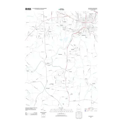
2013 Map of Butler
USGS Topo · Published 2013About this map
Connoquenessing Cr and its various tributaries, including Thorn Cr and Sawmill Run, define the rolling geography of this region south of the city center. This 2013 survey illustrates a landscape of established suburban settlements and aviation infrastructure, anchored by the Butler County Airport/K W Scholter Field and the Butler Farm Show Airport. The mapping of communities like Lyndora, Meridian, and North Butler shows a pattern of residential growth interspersed with expansive recreation areas, such as the Suncrest Golf Course and Lakevue North Golf Course. Historically significant landmarks like White Church and the Sawmill Run Reservoir provide local orientation points amidst a dense network of secondary roads, including Evans City Rd and Three Degree Rd, which connect the small industrial and residential pockets of Butler County.
Find a feature on this map
180 named features on this map. Tap any name to fly to it.
Don’t see what you’re looking for? This feature index may not catch every label — zoom into the map to look around manually.
Map Details
Editions of this 2013 Butler Map
This is the sole edition of this map. No revisions or reprints were ever made.
Other maps of this area

1906 · Sewickley
USGS Topo · 1:62,500

1908 · Sewickley
USGS Topo · 1:62,500

1908 · New Kensington
USGS Topo · 1:62,500

1908 · Zelienople
USGS Topo · 1:62,500

1909 · Butler
USGS Topo · 1:62,500

1910 · New Kensington
USGS Topo · 1:62,500

1910 · Zelienople
USGS Topo · 1:62,500

1911 · Butler
USGS Topo · 1:62,500

1950 · Valencia
USGS Topo · 1:24,000

1951 · Canton
USGS Topo · 1:250,000