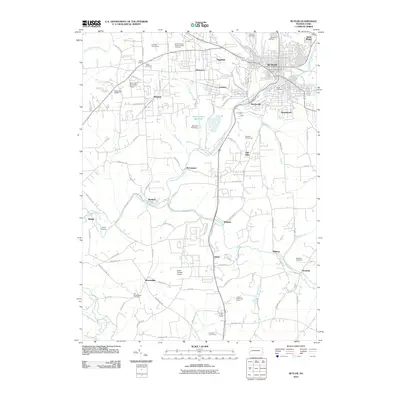
2010 Map of Butler
USGS Topo · Published 2010About this map
Butler and its surrounding suburbs serve as the focal point of this 2010 landscape, where the urban grid of the city transitions into the winding valleys of the Allegheny Plateau. The local geography is defined by the Connoquenessing Creek and its many tributaries, including Sawmill Run and Thorn Creek. These waterways once dictated the placement of early settlements and industry, evidenced by the cluster of communities like Lyndora, Highfield, and Bredinville that flank the creek’s path.
Find a feature on this map
94 named features on this map. Tap any name to fly to it.
Don’t see what you’re looking for? This feature index may not catch every label — zoom into the map to look around manually.
Map Details
Editions of this 2010 Butler Map
This is the sole edition of this map. No revisions or reprints were ever made.
Other maps of this area

1906 · Sewickley
USGS Topo · 1:62,500

1908 · Sewickley
USGS Topo · 1:62,500

1908 · New Kensington
USGS Topo · 1:62,500

1908 · Zelienople
USGS Topo · 1:62,500

1909 · Butler
USGS Topo · 1:62,500

1910 · New Kensington
USGS Topo · 1:62,500

1910 · Zelienople
USGS Topo · 1:62,500

1911 · Butler
USGS Topo · 1:62,500

1950 · Valencia
USGS Topo · 1:24,000

1951 · Canton
USGS Topo · 1:250,000