Old Maps of Croyle Township, Pennsylvania for Metal Detecting
Plan your next treasure hunt with 35 historic maps of Croyle Township. Find old homesites, ghost towns, trails, and gathering spots that may be lost to time — perfect for identifying promising metal detecting locations.
- Locate forgotten sites: Uncover places like long-lost settlements, abandoned rail lines, or gathering spots.
- Plan better hunts: Use map overlays combined with LiDAR or satellite views to narrow in on historically rich areas.
- Made for detectorists: Thousands of hobbyists use these maps to discover relics, coins, and hidden history.
Use these historic maps to boost your research and find new opportunities beneath the surface of Croyle Township.
Croyle Township, PA maps
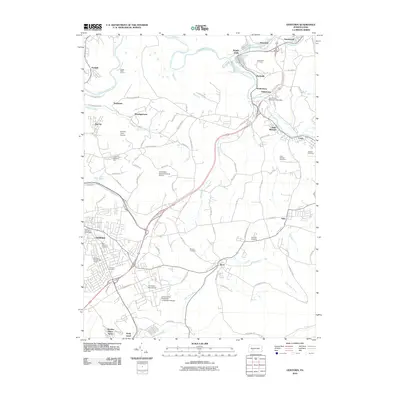
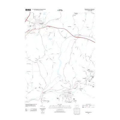
(35)- 1902 Map of Ebensburg, 1954 Print
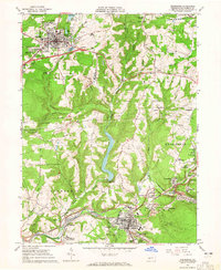
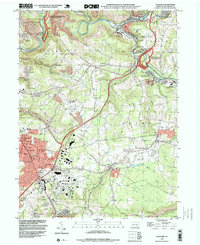
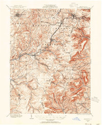 1902 Ebensburg1954 Print · USGSCambria County at the dawn of the twentieth century was a landscape of intensive rail infrastructure and mountain mining towns. Researchers can trace the Pennsylvania RR lines and find detailed footprints for settlements like Ebensburg, Cresson, and the high peak at Blue Knob.
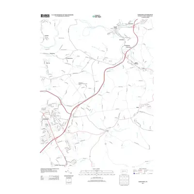
 - 1904 Map of Ebensburg
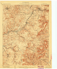 1904 Ebensburg1904 Print · USGSCambria County's industrial heartland is captured during the era of steam and steel, when the Pennsylvania RR crested the Allegheny Front. Genealogists and historians can trace the early layouts of Ebensburg, Lilly, and Gallitzin, or locate rural landmarks like Mt Hope Church.7 unique versions available
 - 1904 Map of Johnstown, 1954 Print
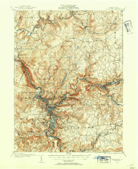 1904 Johnstown1954 Print · USGSJohnstown and the Cambria County coalfields are shown in detail during their industrial peak in the early twentieth century. Researchers can trace ancestral neighborhoods like Morrellville and Franklin, or locate historic landmarks such as the Old Portage RR Tunnel and Grandview Cemetery.2 unique versions available
 - 1907 Map of Johnstown
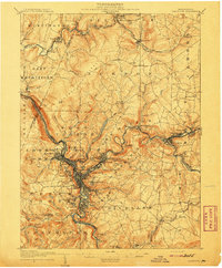 1907 Johnstown1907 Print · USGSJohnstown and the surrounding coal valleys are captured here at the height of their industrial expansion in the early twentieth century. Researchers can trace the path of the Pennsylvania RR and find vanished local landmarks like Expedit PO and the Old Portage RR Tunnel.6 unique versions available
 - 1953 Map of Pittsburgh
 1953 Pittsburgh1953 Print · USGSWestern Pennsylvania's industrial landscape at the start of the fifties shows the steel and rail corridors between Pittsburgh and Altoona. Trace family roots in river towns like Tarentum or follow the Pennsylvania Turnpike across Laurel Hill.
 - 1954 Map of Pittsburgh
 1954 Pittsburgh1954 Print · USGSWestern Pennsylvania in the early fifties remains a powerhouse of heavy industry and vital transit corridors. Genealogists and historians can trace the rail-and-river network connecting Pittsburgh, Johnstown, and Altoona via the Pennsylvania RR and the Lincoln Highway.2 unique versions available
 - 1958 Map of Pittsburgh
 1958 Pittsburgh1958 Print · USGSWestern Pennsylvania in the late fifties shows an industrial heartland defined by the confluence of the Allegheny River and Monongahela River. Researchers can trace the sprawling rail networks of the Pennsylvania RR and find established towns like Butler, Latrobe, and Windber.5 unique versions available
 - 1959 Map of Pittsburgh
 1959 Pittsburgh1959 Print · USGSWestern Pennsylvania in the late fifties is captured here at the height of its industrial era. Genealogists and historians can trace the riverfront growth of Pittsburgh, the rail works at Altoona, and the mountain gaps of Laurel Hill.
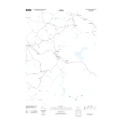
 - 1963 Map of Ebensburg, 1965 Print
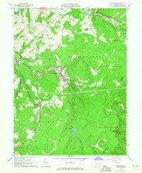
 1963 Ebensburg1965 Print · USGSEbensburg and the surrounding coal towns of Cambria County are captured in the early sixties during a period of industrial transition. Researchers can trace family roots through numerous local churches and cemeteries, or locate defunct industrial sites like Miller Shaft and Plane Bank along the PENNSYLVANIA railroad.5 unique versions available
 - 1963 Map of Beaverdale, 1965 Print
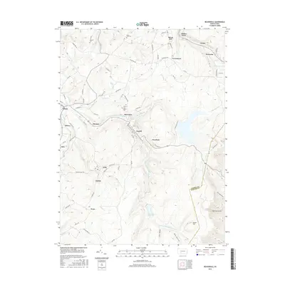
 1963 Beaverdale1965 Print · USGSCoal mining and rail transport shaped these Cambria County valleys in the early 1960s. Researchers can trace family ties at Sherbine Cem, locate the old Buckhorn Grange, or study the footprint of towns like Beaverdale and Dunlo during their industrial peak.4 unique versions available
 - 1964 Map of Pittsburgh
 1964 Pittsburgh1964 Print · USGSWestern Pennsylvania in the late fifties and early sixties shows a landscape of powerful river industries and expanding highways. Genealogists and historians can trace the rail corridors of the Pennsylvania RR through industrial hubs like Johnstown, Altoona, and Nanty Glo.
 - 1964 Map of Geistown, 1965 Print
 1964 Geistown1965 Print · USGSCambria County in the mid-sixties reveals an industrial landscape defined by river-valley mining and growing suburban centers. Genealogists can trace family names through local landmarks like St Anthony Cem, Sidman (Lovett Sta), and Locust Grove Ch.5 unique versions available
 - 1964 Map of Nanty Glo, 1966 Print
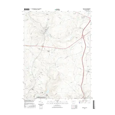
 1964 Nanty Glo1966 Print · USGSCambria County's industrial heart is captured in the mid-1960s, showing the intersection of mining, rail, and community life. Genealogists and historians can locate family landmarks like St Marys Cem and trace the paths of the Pennsylvania Railroad through Nanty Glo and Summerhill.4 unique versions available
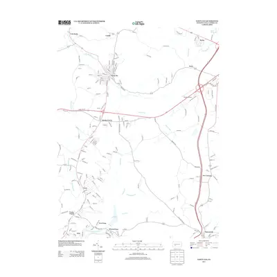
 - 1981 Map of Johnstown, 1983 Print
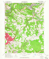
 1981 Johnstown1983 Print · USGSSouth Central Pennsylvania is captured here in the early eighties, from the industrial heart of the Conemaugh Valley to the ridges of the Allegheny Front. Local historians can trace the rail corridors of Conrail and the growth of mountain communities like Ebensburg, Nanty Glo, and Windber.
 - 1993 Map of Geistown, 1999 Print
 1993 Geistown1999 Print · USGSCambria County in the early nineties reveals a landscape defined by industrial history and the legacy of the Great Flood. Trace family roots at Richland Cemetery or explore landmarks like the Staple Bend Tunnel and South Fork.
 - 2010 Map of Nanty Glo, 2010 Print
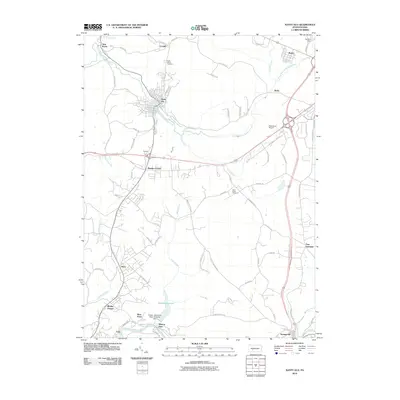 2010 Nanty Glo2010 Print · USGSCovers Croyle Township, including Nanty Glo, Summerhill, and other nearby areas
 - 2010 Map of Ebensburg, 2010 Print
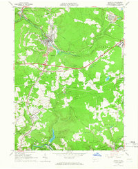
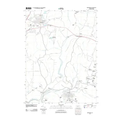 2010 Ebensburg2010 Print · USGSCovers Croyle Township, including Ebensburg, Portage, and other nearby areas
 - 2010 Map of Beaverdale, 2010 Print
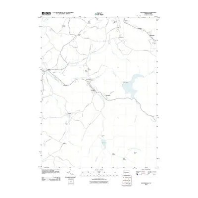 2010 Beaverdale2010 Print · USGSCovers Croyle Township, including Pavia Township, Martindale, and other nearby areas
 - 2010 Map of Geistown, 2010 Print
 2010 Geistown2010 Print · USGSCovers Croyle Township, including Stonycreek Township, Geistown, and other nearby areas
 - 2013 Map of Geistown, 2013 Print
 2013 Geistown2013 Print · USGSCovers Croyle Township, including Stonycreek Township, Geistown, and other nearby areas
 - 2013 Map of Beaverdale, 2013 Print
 2013 Beaverdale2013 Print · USGSCovers Croyle Township, including Pavia Township, Martindale, and other nearby areas
 - 2013 Map of Nanty Glo, 2013 Print
 2013 Nanty Glo2013 Print · USGSCovers Croyle Township, including Nanty Glo, Summerhill, and other nearby areas
 - 2013 Map of Ebensburg, 2013 Print
 2013 Ebensburg2013 Print · USGSCovers Croyle Township, including Ebensburg, Portage, and other nearby areas
 - 2016 Map of Beaverdale, 2016 Print
 2016 Beaverdale2016 Print · USGSCovers Croyle Township, including Pavia Township, Martindale, and other nearby areas
 - 2016 Map of Nanty Glo, 2016 Print
 2016 Nanty Glo2016 Print · USGSCovers Croyle Township, including Nanty Glo, Summerhill, and other nearby areas
Showing maps 1-25 of 35
Top cities near Croyle Township
- Johnstown historical maps
- Franklin historical maps
- Westmont historical maps
- Windber historical maps
- Ebensburg historical maps
- Stonycreek Township historical maps
See more
Top neighborhoods of Croyle Township
- Fishertown historical maps
- Rockville historical maps
- New Germany historical maps
- Soukesburg historical maps
Frequently asked questions
- What are the different types of historical maps available for Croyle Township?
- What is the oldest map of Croyle Township?
- Where can I purchase historical maps of Croyle Township for my home or office?
- Where can I download high-res historical maps of Croyle Township?
- Are there historical topographic maps available for Croyle Township?
- Is there historical aerial imagery available for Croyle Township?
- Where are historical maps of Croyle Township sourced from?