Old Maps of Haines Township, Pennsylvania for Metal Detecting
Plan your next treasure hunt with 45 historic maps of Haines Township. Find old homesites, ghost towns, trails, and gathering spots that may be lost to time — perfect for identifying promising metal detecting locations.
- Locate forgotten sites: Uncover places like long-lost settlements, abandoned rail lines, or gathering spots.
- Plan better hunts: Use map overlays combined with LiDAR or satellite views to narrow in on historically rich areas.
- Made for detectorists: Thousands of hobbyists use these maps to discover relics, coins, and hidden history.
Use these historic maps to boost your research and find new opportunities beneath the surface of Haines Township.
Haines Township, PA maps
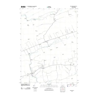
(45)- 1937 Map of Millheim
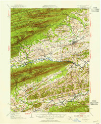
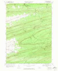
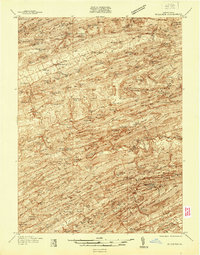 1937 Millheim1937 Print · USGSThe Seven Mountains region of central Pennsylvania is shown here in the late thirties, when rural valleys were tied together by narrow gaps. Researchers can locate family landmarks like Wolfs Chapel, Lose Sch, and vanished stopovers such as Wolfs Store.
 - 1938 Map of Mifflinburg
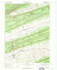
 1938 Mifflinburg1938 Print · USGSCentral Pennsylvania valleys and ridges are captured here in the late thirties, showing the rural networks of Union and Snyder counties. Genealogists can trace family roots through numerous local schools like Gilbert Sch and settlements such as Troxelville or White Springs.
 - 1941 Map of Millheim
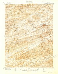
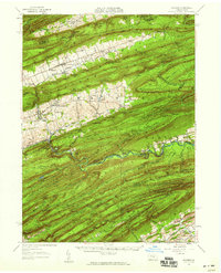
 1941 Millheim1941 Print · USGSCentral Pennsylvania's ridge-and-valley landscape is documented here just before the mid-century, showing a network of mountain gaps and small valley settlements. Researchers can locate family landmarks like Wolfs Chapel, the Hironimus Sch, and the BM Sawmill along the banks of Penns Creek.3 unique versions available
 - 1943 Map of Mifflinburg
 1943 Mifflinburg1943 Print · USGSUnion and Snyder County communities are captured here in the years preceding World War II, revealing a landscape of ridge-top forests and valley farms. Genealogists can trace family roots through numerous country landmarks like Moyers Mill, Church of the Brethren, and the Lewis Cemetery.
 - 1950 Map of Harrisburg, 1952 Print
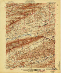
 1950 Harrisburg1952 Print · USGSMid-century Central Pennsylvania comes alive through its dense rail networks and river valley settlements during the post-war industrial era. Genealogists and historians can trace family roots through hubs like Harrisburg, locate Carlisle Barracks, or follow the Pennsylvania RR through the Lebanon Valley.
 - 1953 Map of Mifflinburg, 1955 Print
 1953 Mifflinburg1955 Print · USGSIn the early fifties, the Union and Snyder county border reveals a landscape of ridge-top forests and valley towns. Genealogists can trace family names at Long Cem or Salem Ch and explore settlements like Mifflinburg and Middleburg.2 unique versions available
 - 1957 Map of Harrisburg
 1957 Harrisburg1957 Print · USGSMid-century Central Pennsylvania comes into focus as a bustling network of rail, river, and mountain ridges. Genealogists and historians can trace the development of the State Capitol and surrounding hubs like Middletown, Columbia, and Pottsville.7 unique versions available
 - 1957 Map of Millheim, 1959 Print
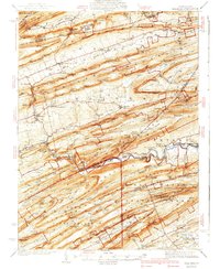
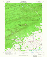
 1957 Millheim1959 Print · USGSThe Pennsylvania Ridge-and-Valley landscape comes to life in the late 1950s, showing the intersection of rural agriculture and state forestry. Researchers can trace historic church sites like St Peters Ch or find recreation spots at Poe Valley State Park and Camp Hironimus.3 unique versions available
 - 1961 Map of Harrisburg
 1961 Harrisburg1961 Print · USGSCentral Pennsylvania is shown at a mid-century peak of industrial and military activity, from the Susquehanna water gaps to the fertile Dutch Country. Genealogists and historians can trace the rail corridors of the Pennsylvania RR and find landmarks like Carlisle Barracks or the Anthracite Coal Fields.2 unique versions available
 - 1964 Map of Harrisburg
 1964 Harrisburg1964 Print · USGSCentral Pennsylvania in the mid-fifties reveals a landscape shaped by ridge-and-valley geology and critical Cold War infrastructure. Researchers can trace the massive Indiantown Gap Military Reservation or the rail corridors of the Pennsylvania RR and Reading RR.
 - 1965 Map of Hartleton, 1967 Print
 1965 Hartleton1967 Print · USGSThe heart of Union County in the mid-sixties reveals a landscape where state forests and small valley settlements meet. Researchers can find precise locations for the Laurelton State Village, the Western Area Sch, and a Covered Bridge crossing Penns Creek.2 unique versions available
 - 1968 Map of Coburn, 1971 Print
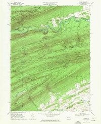
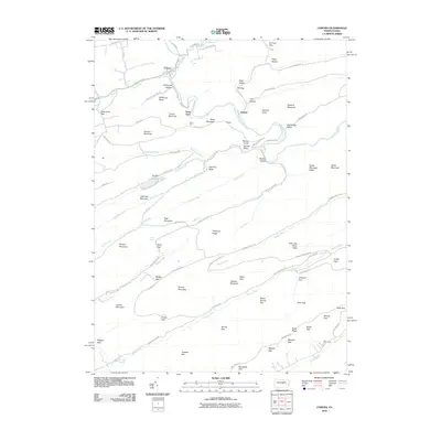
 1968 Coburn1971 Print · USGSThe village of Coburn sits at the junction of mountain creeks and timber ridges during the late sixties. Genealogists and hikers can trace the PENN CENTRAL rail line through Ingleby or locate rural landmarks like Trinity Ch, St Johns Ch, and Poe Valley.3 unique versions available
 - 1968 Map of Woodward, 1971 Print
 1968 Woodward1971 Print · USGSPennsylvania’s central ridges are captured here in the late sixties, showing a landscape of state forest lands and narrow valley gaps. Researchers can locate small communities like Woodward and Livonia, or trace old paths and natural features such as Horse Path Spring and Wolfs Store Gap.3 unique versions available
 - 1968 Map of Millheim, 1971 Print
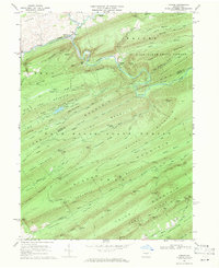
 1968 Millheim1971 Print · USGSIn the late 1960s, these Pennsylvania valleys remained a landscape of tight-knit agricultural villages and steep forested ridges. Genealogists and historians can trace family locations through Aaronsburg and Millheim, finding landmarks like Woodward Cave and Salem Ch.4 unique versions available
 - 1968 Map of Weikert, 1971 Print
 1968 Weikert1971 Print · USGSSnyder and Union counties are defined by steep forested ridges and the winding path of Penns Creek in this late-sixties topographic study. Trace the local history of timber and recreation through sites like Weikert, Hironimus Ch, and Nik-O-Mahs Camp.2 unique versions available
 - 1977 Map of Coburn, 1979 Print
 1977 Coburn1979 Print · USGSThe ridge-and-valley landscape of central Pennsylvania is captured in detail in the late seventies. Genealogists and historians can trace the course of Penns Creek as it winds beneath the heights of Long Mountain and Front Mtn.
 - 1977 Map of Millheim, 1979 Print
 1977 Millheim1979 Print · USGSCentral Pennsylvania's Brush Valley is captured here in the late seventies, showing a landscape defined by traditional agriculture and ridge-top forests. Trace the development of Rebersburg and Millheim along the banks of Elk Creek.
 - 1984 Map of State College, 1985 Print
 1984 State College1985 Print · USGSCentral Pennsylvania’s Ridge-and-Valley province is captured here in the mid-eighties, showing the deep connection between the mountain terrain and the region's historic settlements. Researchers can trace the layout of Pennsylvania State University and follow old rail corridors like the Bellefonte Historical RR and Conrail.
 - 1988 Map of State College, 1989 Print
 1988 State College1989 Print · USGSCentral Pennsylvania in the late eighties shows the sprawling influence of Pennsylvania State University against a backdrop of ancient ridges. Genealogists can trace family landmarks like Church Hill Church and the Bellefonte Cemetery across the deep valleys.
 - 1998 Map of Coburn, 1999 Print
 1998 Coburn1999 Print · USGSIn the late 1990s, the village of Coburn remained a quiet hub at the confluence of the valley's major creeks and the Penn Central rail line. Genealogists and hikers can trace the mountain landscape of the Bald Eagle State Forest, locating St Johns Ch and the secluded Salem Cem.
 - 2010 Map of Woodward, 2010 Print
 2010 Woodward2010 Print · USGSCovers Haines Township, including Hartley Township, Miles Township, and other nearby areas
 - 2010 Map of Weikert, 2010 Print
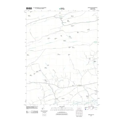
 2010 Weikert2010 Print · USGSCovers Haines Township, including Decatur Township, Hartley Township, and other nearby areas
 - 2010 Map of Millheim, 2010 Print
 2010 Millheim2010 Print · USGSCovers Haines Township, including Millheim, Aaronsburg, and other nearby areas
 - 2010 Map of Coburn, 2010 Print
 2010 Coburn2010 Print · USGSCovers Haines Township, including Decatur Township, Coburn, and other nearby areas
 - 2010 Map of Hartleton, 2010 Print
 2010 Hartleton2010 Print · USGSCovers Haines Township, including Hartleton, Hartley Township, and other nearby areas
Showing maps 1-25 of 45
Top cities near Haines Township
- Decatur Township historical maps
- Lamar historical maps
- Mill Hall historical maps
- Castanea Township historical maps
- Beavertown historical maps
- McClure historical maps
See more
Top neighborhoods of Haines Township
Frequently asked questions
- What are the different types of historical maps available for Haines Township?
- What is the oldest map of Haines Township?
- Where can I purchase historical maps of Haines Township for my home or office?
- Where can I download high-res historical maps of Haines Township?
- Are there historical topographic maps available for Haines Township?
- Is there historical aerial imagery available for Haines Township?
- Where are historical maps of Haines Township sourced from?