2010s Maps of East Nottingham Township, Pennsylvania
Explore 16 historic maps of East Nottingham Township from the 2010s. These maps offer a rare glimpse into what life looked like during the 2010s — showing old roads, neighborhoods, homes, and landmarks that have changed or disappeared over time.
Whether you're researching your family's past, planning a metal detecting trip, or studying how East Nottingham Township's landscape evolved across the 2010s, these high-resolution maps are a powerful tool for exploring the history of this region.
- Focus on a specific era: All maps on this page are from the 2010s, giving you a focused view of this time period.
- See what’s changed: Compare century-old streets, trails, and buildings to today's modern landscape using overlays and satellite layers.
- Research with precision: Use these maps for genealogy, historical research, land use analysis, or educational projects.
- View, download, or print: Maps are fully viewable online in high resolution, and can be downloaded or printed for your own records.
Start exploring East Nottingham Township's history through authentic maps from the 2010s. This is your window into the past.
East Nottingham Township, PA maps
(16)- 2010 Map of Oxford, 2010 Print
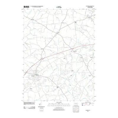 2010 Oxford2010 Print · USGSChester County at the start of the 2010s reveals a landscape of storied crossroad villages and institutional anchors like Lincoln University. Researchers can trace old family lands near Faggs Manor, locate the Elkridge Cemetery, and follow the winding Big Elk Creek.
 - 2010 Map of Kirkwood, 2010 Print
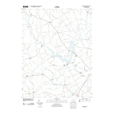 2010 Kirkwood2010 Print · USGSSouthern Lancaster County in the early twenty-first century is a patchwork of small crossroad hamlets and winding creeks. Genealogists and local historians can trace family-named sites like Kirks Mills, Kings Bridge, and the shores of Octoraro Lake.
 - 2011 Map of Bay View, 2011 Print
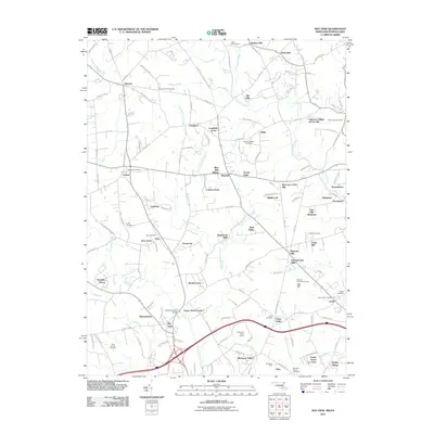 2011 Bay View2011 Print · USGSThe Maryland-Pennsylvania borderlands are captured here in the early twenty-first century as historic crossroads settlements blend with modern residential growth. Researchers can trace local heritage through numerous burial sites like Rosebank Cemetery and iconic landmarks such as Gilpins Covered Bridge and the Pleasant Hill Lookout Tower.
 - 2011 Map of Rising Sun, 2011 Print
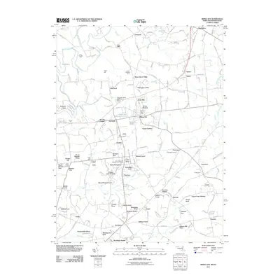 2011 Rising Sun2011 Print · USGSThe Maryland-Pennsylvania state line cuts through this 2010s landscape where Rising Sun and Sylmar sit at the crossroads of history. Researchers can trace numerous family burial sites and industrial markers like the West Nottingham Meetinghouse Cemetery and Wood Chromite Mine.
 - 2013 Map of Kirkwood, 2013 Print
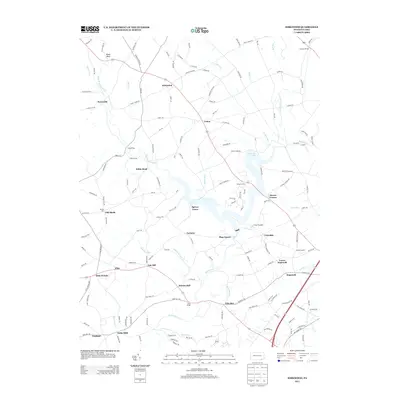 2013 Kirkwood2013 Print · USGSThe rural landscape of Lancaster County comes alive in this 2013 survey of its small settlements and winding waterways. Researchers can trace historic local centers like Kirks Mills, Little Britain, and the sprawling reaches of Octoraro Lake.
 - 2013 Map of Oxford, 2013 Print
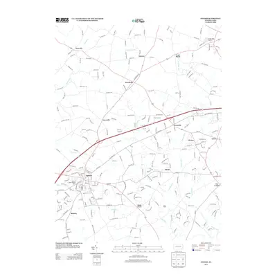 2013 Oxford2013 Print · USGSSouthern Chester County's rolling farmland and historic hamlets are captured here in the early twenty-first century. Researchers can trace family-named roads and rural settlements from Oxford to Faggs Manor, or locate landmarks like the Oxford Press Church Spire and Camp Saginaw.
 - 2014 Map of Rising Sun, 2014 Print
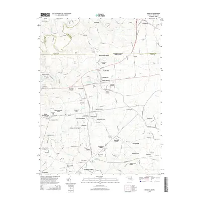 2014 Rising Sun2014 Print · USGSThe Maryland-Pennsylvania borderlands come into focus in this recent survey of the Rising Sun area. Genealogists can trace family footprints through numerous local burial grounds like W Nottingham Meetinghouse Cem and the waters of Octoraro Creek.
 - 2014 Map of Bay View, 2014 Print
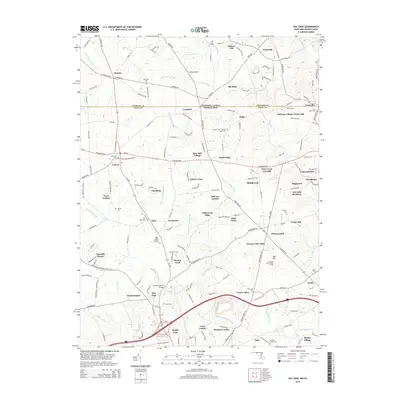 2014 Bay View2014 Print · USGSThe Pennsylvania and Maryland borderlands are documented here in the early twenty-first century, showing a mix of historic rural crossroads and modern growth. Genealogists and historians can trace long-standing landmarks like Gilpins Covered Bridge, Saint Johns Cem, and Blue Ball Village.
 - 2016 Map of Kirkwood, 2016 Print
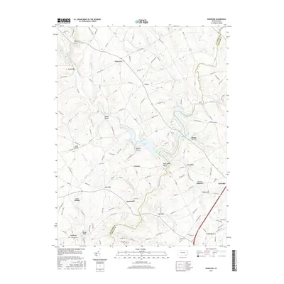 2016 Kirkwood2016 Print · USGSSoutheastern Pennsylvania's rolling borderlands appear in great detail during the mid-2010s, centered on the waters of Octoraro Lake. Family historians can trace local roots through settlements like Little Britain, Kirks Mills, and Nottingham Cem.
 - 2016 Map of Oxford, 2016 Print
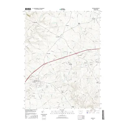 2016 Oxford2016 Print · USGSSouthern Chester County is shown in this mid-2010s survey, documenting the area's transition between historic crossroads and modern growth. Researchers can trace the legacy of Lincoln University and locate landmarks like the Oxford Press Church Spire or Elkridge Cem.
 - 2016 Map of Rising Sun, 2016 Print
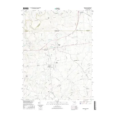 2016 Rising Sun2016 Print · USGSThe Maryland-Pennsylvania borderlands come alive in this mid-2010s survey of the Cecil and Lancaster county line. Genealogists can trace family names through the West Nottingham Meetinghouse, Lees Mill, and several local burial sites like Rising Sun Cemetery.
 - 2016 Map of Bay View, 2016 Print
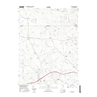 2016 Bay View2016 Print · USGSThe Mason-Dixon line defines this borderland landscape in the 2010s, where rural Maryland and Pennsylvania communities meet. Genealogists and historians can trace the many family-named cemeteries and landmarks like Gilpins Covered Bridge, Moores Chapel, and Saint Johns Cemetery.
 - 2019 Map of Oxford, 2019 Print
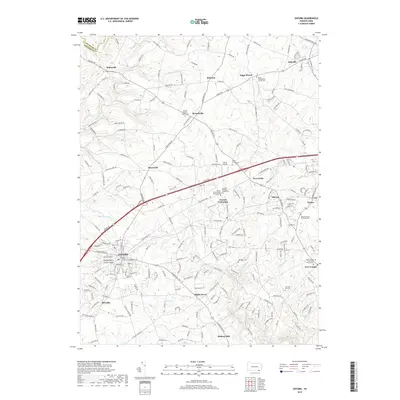 2019 Oxford2019 Print · USGSChester County is shown in detail at the end of the 2010s, centered on the borough of OXFORD and the historic grounds of Lincoln University of Pennsylvania. Researchers can trace local lineage through numerous burial sites like Manor Presbyterian Church Cem and Beulah Baptist Church-Cem across a landscape of established crossroads.
 - 2019 Map of Kirkwood, 2019 Print
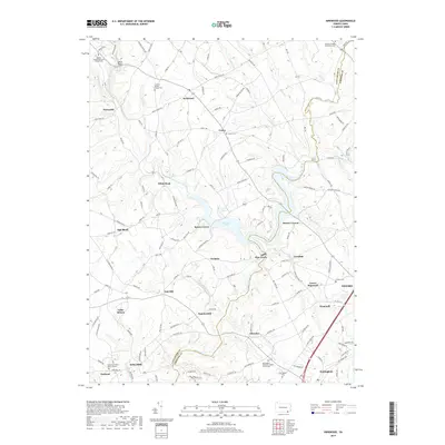 2019 Kirkwood2019 Print · USGSSoutheastern Pennsylvania's rural landscape is shown in detail as it appeared in the late 2010s, centered on the waters of Octoraro Lake. Genealogists can locate family sites at Eastland Friends Burial Ground, Union Cem, and the historic crossroads of Kirks Mills.
 - 2019 Map of Rising Sun, 2019 Print
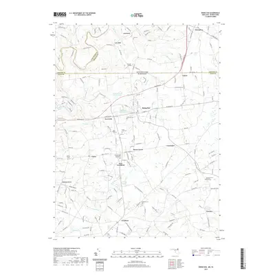 2019 Rising Sun2019 Print · USGSThe Pennsylvania and Maryland borderlands come into focus in the late 2010s, showing a landscape of established rural communities and winding creeks. Genealogists can trace family landmarks and local burial sites like Krauss Family Cem, Lees Mill, and the West Nottingham Presbyterian Church Cem.
 - 2019 Map of Bay View, 2019 Print
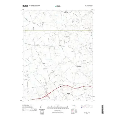 2019 Bay View2019 Print · USGSThe Pennsylvania and Maryland borderlands come alive in this recent survey of the rural corridor between Hickory Hill and North East. Researchers can trace local history through Gilpins Covered Bridge and numerous family burial grounds like Rosebank Cemetery.
End of results
Showing maps 1-16 of 16
Top cities near East Nottingham Township
- Newark historical maps
- Elkton historical maps
- West Lampeter Township historical maps
- Aberdeen historical maps
- Coatesville historical maps
- Havre de Grace historical maps
See more
Top neighborhoods of East Nottingham Township
- Maple Grove historical maps
- Chrome historical maps
- Elkdale historical maps
- Barnsley historical maps
- Hopewell historical maps
Frequently asked questions
- What are the different types of historical maps available for East Nottingham Township?
- What is the oldest map of East Nottingham Township?
- Where can I purchase historical maps of East Nottingham Township for my home or office?
- Where can I download high-res historical maps of East Nottingham Township?
- Are there historical topographic maps available for East Nottingham Township?
- Is there historical aerial imagery available for East Nottingham Township?
- Where are historical maps of East Nottingham Township sourced from?