Old Maps of Toby Township, Pennsylvania for Academic Research
Study the evolution of Toby Township with 27 high-resolution historic maps. Whether you're teaching, researching, or modeling changes in land use, these maps provide essential visual documentation of urban, environmental, and geographic change.
- Analyze long-term change: Track patterns in development, transportation, and natural features.
- Ideal for environmental or urban studies: Support academic projects with primary historical map data.
- Use in the classroom or lab: Educators and researchers rely on these maps to bring historical context to life.
These maps are a powerful tool for teaching, research, and visualizing how Toby Township has changed over the decades.
Toby Township, PA maps
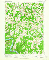
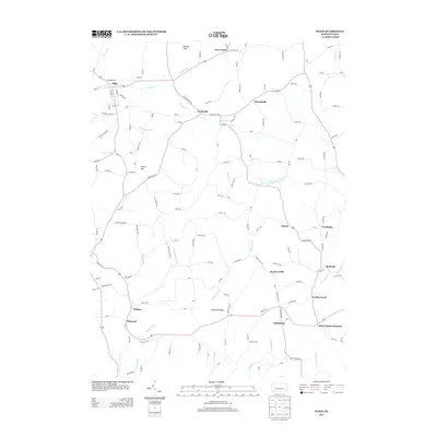
(27)- 1906 Map of Clarion
 1906 Clarion1906 Print · USGSClarion County at the turn of the century is defined by its deep river valleys and a bustling network of narrow-gauge railroads and coal mines. Genealogists and historians can trace dozens of rural schoolhouses and churches, from Concord Church to the Burma (Five Points) School and the early mines of Rimersburg.2 unique versions available
 - 1907 Map of Clarion
 1907 Clarion1907 Print · USGSClarion County at the dawn of the twentieth century shows a landscape shaped by coal mining and a complex rail network. Genealogists can locate specific family landmarks like Acme Mines, Concord Church, and rural outposts such as Limestone P.O..5 unique versions available
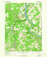
 - 1907 Map of Foxburg, 1953 Print
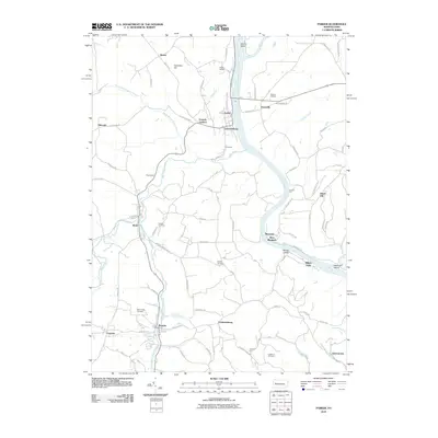
 1907 Foxburg1953 Print · USGSThe river-and-rail economies of Clarion and Armstrong counties are on full display in this early 1900s survey. Genealogists and industrial historians can trace vanished post offices like Perryville Pollock PO, early iron works at Canoe Furnace, and the riverside tracks of the Pennsylvania railroad.2 unique versions available
 - 1908 Map of Foxburg
 1908 Foxburg1908 Print · USGSThe Pennsylvania river valleys thrive during the early twentieth-century industrial boom, as river traffic and railroads intersect in the heart of the coal and iron region. Researchers can locate early post offices at New Salem Lamartine PO, industrial sites like Sarah Furnace, and the Blue Goose Mine.5 unique versions available
 - 1957 Map of Warren, 1964 Print
 1957 Warren1964 Print · USGSThe northern Pennsylvania oil and timber country comes into focus in the mid-fifties, showing the region before modern highway expansions. Trace the industrial rail networks of the Pennsylvania RR and the early Allegheny River Reservoir near Warren and Oil City.4 unique versions available
 - 1958 Map of Warren
 1958 Warren1958 Print · USGSNorthern Pennsylvania’s timber and oil country is captured here during the late fifties, showing the interplay of industrial valleys and vast state forests. Genealogists can trace family connections across the Cornplanter Indian Reservation or through rail hubs like Oil City and Saint Marys.
 - 1959 Map of Warren
 1959 Warren1959 Print · USGSNorthern Pennsylvania's oil and timber country comes alive in this late-fifties study of the forest-clad plateaus. Trace the historic Cornplanter (Indian Reservation), the sprawling Oil Field, and the rail lines of the Pennsylvania RR.2 unique versions available
 - 1963 Map of Rimersburg, 1965 Print
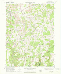
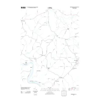
 1963 Rimersburg1965 Print · USGSThe border of Clarion and Armstrong counties comes alive in the early sixties as a region of river bends and industrial tradition. Genealogists can trace family roots through Sarah Furnace, Kissingers Mill, and rural sites like Robinson Cem and Concord Ch.3 unique versions available
 - 1963 Map of Parker, 1965 Print
 1963 Parker1965 Print · USGSThe river-and-rail corridor of northern Armstrong and Butler counties is captured here in the early sixties, showing an active landscape of energy extraction. Genealogists and historians can locate family landmarks such as Bear Creek Cemetery or Griswell Ch and trace the rail path through Petrolia and Bruin.5 unique versions available
 - 1969 Map of Sligo, 1972 Print
 1969 Sligo1972 Print · USGSClarion County's extraction landscape is captured here in the late sixties, where rail lines and gas wells meet traditional rural hamlets. Local historians can trace the Penn Central tracks through Sligo or locate landmarks like Licking Ch and Squirrel Hill.3 unique versions available
 - 1971 Map of Warren
 1971 Warren1971 Print · USGSNorth Central Pennsylvania is captured here in the early seventies, showing a landscape defined by industrial centers and massive state forests. Genealogists and historians can trace the rail lines of the Penn Central and Erie Lackawanna connecting towns like Warren, Kane, and Du Bois.
 - 1983 Map of Oil City, 1984 Print
 1983 Oil City1984 Print · USGSThe Allegheny and Clarion river valleys are shown in the early eighties as a hub of rail lines and conservation lands. Genealogists can trace family connections in Oil City and Franklin or locate rural sites like the Pennsylvania State Hospital and School and Coal City.
 - 2010 Map of Rimersburg, 2010 Print
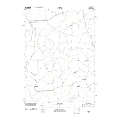
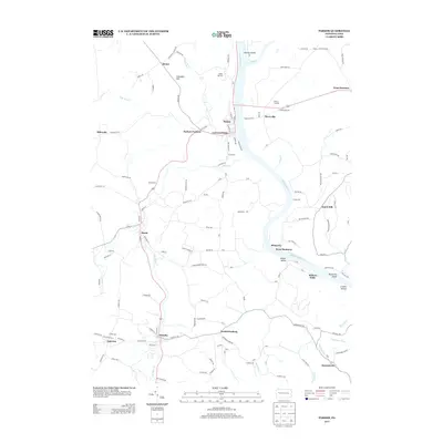
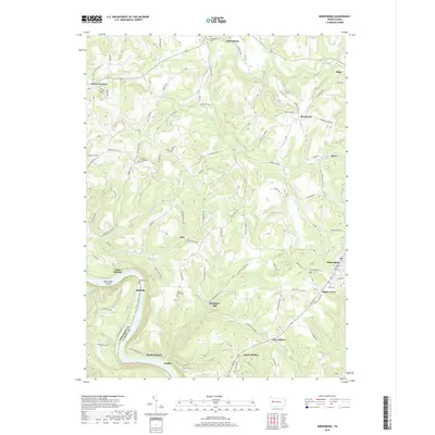
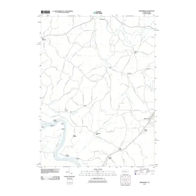 2010 Rimersburg2010 Print · USGSCovers Toby Township, including Rimersburg, Bradys Bend Township, and other nearby areas
 - 2010 Map of Sligo, 2010 Print
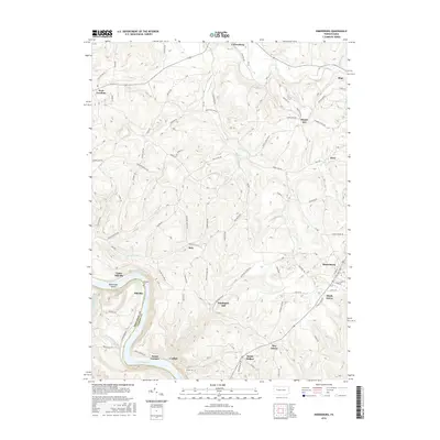
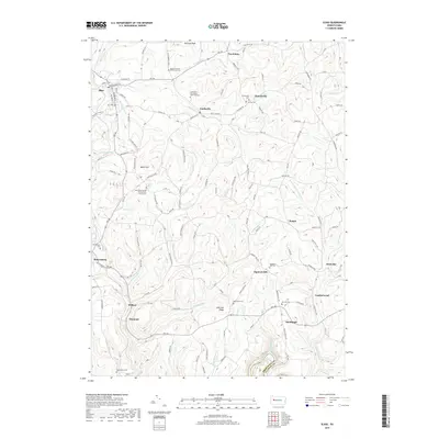
 2010 Sligo2010 Print · USGSCovers Toby Township, including Sligo, Monroe Township, and other nearby areas
 - 2010 Map of Parker, 2010 Print
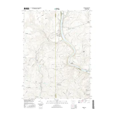
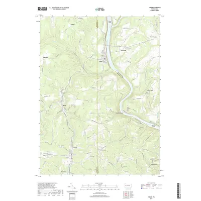
 2010 Parker2010 Print · USGSCovers Toby Township, including Bradys Bend Township, Parker, and other nearby areas
 - 2013 Map of Rimersburg, 2013 Print
 2013 Rimersburg2013 Print · USGSCovers Toby Township, including Rimersburg, Bradys Bend Township, and other nearby areas
 - 2013 Map of Sligo, 2013 Print
 2013 Sligo2013 Print · USGSCovers Toby Township, including Sligo, Monroe Township, and other nearby areas
 - 2013 Map of Parker, 2013 Print
 2013 Parker2013 Print · USGSCovers Toby Township, including Bradys Bend Township, Parker, and other nearby areas
 - 2016 Map of Rimersburg, 2016 Print
 2016 Rimersburg2016 Print · USGSCovers Toby Township, including Rimersburg, Bradys Bend Township, and other nearby areas
 - 2016 Map of Parker, 2016 Print
 2016 Parker2016 Print · USGSCovers Toby Township, including Bradys Bend Township, Parker, and other nearby areas
 - 2016 Map of Sligo, 2016 Print
 2016 Sligo2016 Print · USGSCovers Toby Township, including Sligo, Monroe Township, and other nearby areas
 - 2019 Map of Rimersburg, 2019 Print
 2019 Rimersburg2019 Print · USGSCovers Toby Township, including Rimersburg, Bradys Bend Township, and other nearby areas
 - 2019 Map of Parker, 2019 Print
 2019 Parker2019 Print · USGSCovers Toby Township, including Bradys Bend Township, Parker, and other nearby areas
 - 2019 Map of Sligo, 2019 Print
 2019 Sligo2019 Print · USGSCovers Toby Township, including Sligo, Monroe Township, and other nearby areas
 - 2023 Map of Sligo, 2023 Print
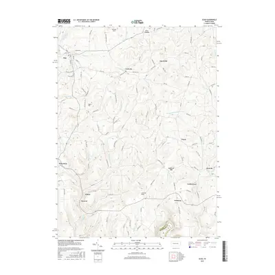
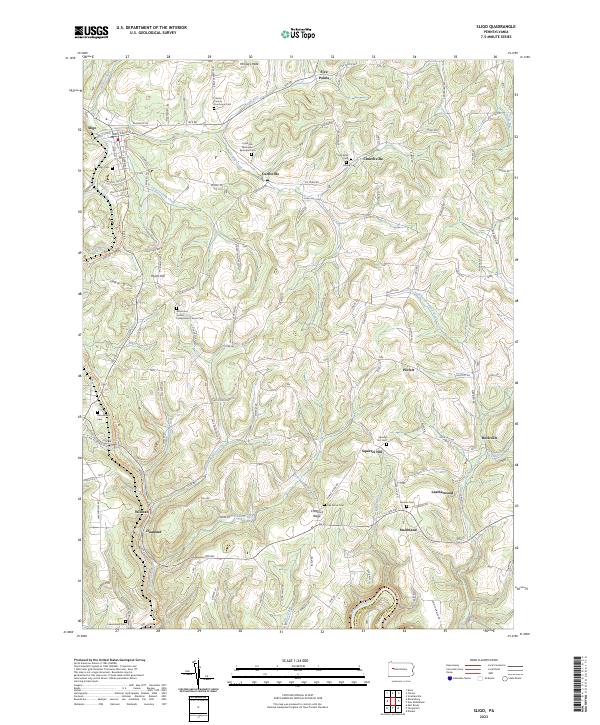 2023 Sligo2023 Print · USGSClarion County’s upland settlements and rural cemeteries are preserved in this recent topographic survey. Researchers can trace family history at the Clarion County Poorhouse Cem and explore old rail corridors like the Sligo Branch Line Trl.
Showing maps 1-25 of 27
Top cities near Toby Township
- Clarion historical maps
- Limestone Township historical maps
- Monroe historical maps
- Mahoning historical maps
- Rockland Township historical maps
- Marianne historical maps
See more
Top neighborhoods of Toby Township
Frequently asked questions
- What are the different types of historical maps available for Toby Township?
- What is the oldest map of Toby Township?
- Where can I purchase historical maps of Toby Township for my home or office?
- Where can I download high-res historical maps of Toby Township?
- Are there historical topographic maps available for Toby Township?
- Is there historical aerial imagery available for Toby Township?
- Where are historical maps of Toby Township sourced from?