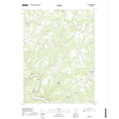
2019 Map of Rimersburg
USGS Topo · Published 2019About this map
Kissingers Mill and Sarah Furnace serve as focal points for this section of Clarion County, where the industrial past is etched into the landscape along the Allegheny River. The terrain is deeply carved by water, with Black Fox Run and Cherry Run feeding the larger river system that defines the western boundary. Small communities like Rimersburg, Callensburg, and Sligo are linked by a network of winding roads, including Callensburg Rd and Huey Rd.
Find a feature on this map
131 named features on this map. Tap any name to fly to it.
Don’t see what you’re looking for? This feature index may not catch every label — zoom into the map to look around manually.
Map Details
Editions of this 2019 Rimersburg Map
This is the sole edition of this map. No revisions or reprints were ever made.
Other maps of this area

1900 · Kittanning
USGS Topo · 1:62,500

1901 · Rural Valley
USGS Topo · 1:62,500

1902 · Kittanning
USGS Topo · 1:62,500

1903 · Rural Valley
USGS Topo · 1:62,500

1906 · Clarion
USGS Topo · 1:62,500

1907 · Clarion
USGS Topo · 1:62,500

1907 · Foxburg
USGS Topo · 1:62,500

1908 · Foxburg
USGS Topo · 1:62,500

1953 · Pittsburgh
USGS Topo · 1:250,000

1954 · Pittsburgh
USGS Topo · 1:250,000