2000s (21st Century) Maps of Washington Township, Pennsylvania
Explore 20 historic maps of Washington Township from the 2000s (21st Century). These maps offer a rare glimpse into what life looked like during the 2000s — showing old roads, neighborhoods, homes, and landmarks that have changed or disappeared over time.
Whether you're researching your family's past, planning a metal detecting trip, or studying how Washington Township's landscape evolved across the 2000s, these high-resolution maps are a powerful tool for exploring the history of this region.
- Focus on a specific era: All maps on this page are from the 2000s, giving you a focused view of this time period.
- See what’s changed: Compare century-old streets, trails, and buildings to today's modern landscape using overlays and satellite layers.
- Research with precision: Use these maps for genealogy, historical research, land use analysis, or educational projects.
- View, download, or print: Maps are fully viewable online in high resolution, and can be downloaded or printed for your own records.
Start exploring Washington Township's history through authentic maps from the 2000s. This is your window into the past.
Washington Township, PA maps
(20)- 2010 Map of Lucinda, 2010 Print
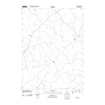 2010 Lucinda2010 Print · USGSCovers Washington Township, including Millcreek Township, Lucinda, and other nearby areas
 - 2010 Map of Fryburg, 2010 Print
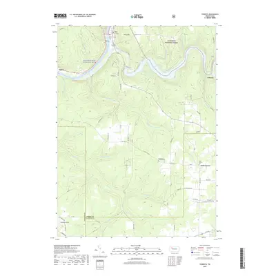
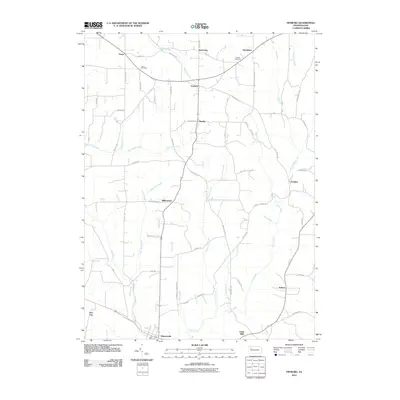 2010 Fryburg2010 Print · USGSCovers Washington Township, including Shippenville, Paint Mills, and other nearby areas
 - 2011 Map of Tylersburg, 2011 Print
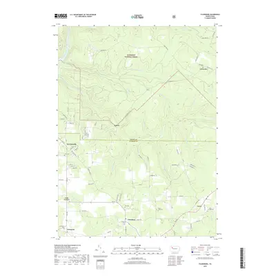
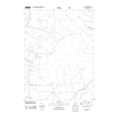 2011 Tylersburg2011 Print · USGSCovers Washington Township, including Newmansville, Lickingville, and other nearby areas
 - 2011 Map of Tionesta, 2011 Print
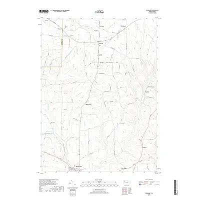
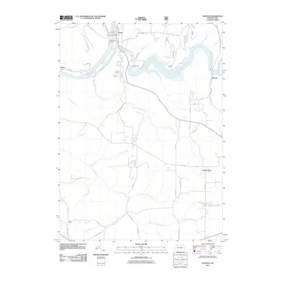 2011 Tionesta2011 Print · USGSCovers Washington Township, including Tionesta, President Township, and other nearby areas
 - 2013 Map of Lucinda, 2013 Print
 2013 Lucinda2013 Print · USGSCovers Washington Township, including Millcreek Township, Lucinda, and other nearby areas
 - 2013 Map of Fryburg, 2013 Print
 2013 Fryburg2013 Print · USGSCovers Washington Township, including Shippenville, Paint Mills, and other nearby areas
 - 2013 Map of Tylersburg, 2013 Print
 2013 Tylersburg2013 Print · USGSCovers Washington Township, including Newmansville, Lickingville, and other nearby areas
 - 2013 Map of Tionesta, 2013 Print
 2013 Tionesta2013 Print · USGSCovers Washington Township, including Tionesta, President Township, and other nearby areas
 - 2016 Map of Fryburg, 2016 Print
 2016 Fryburg2016 Print · USGSCovers Washington Township, including Shippenville, Paint Mills, and other nearby areas
 - 2016 Map of Tylersburg, 2016 Print
 2016 Tylersburg2016 Print · USGSCovers Washington Township, including Newmansville, Lickingville, and other nearby areas
 - 2016 Map of Lucinda, 2016 Print
 2016 Lucinda2016 Print · USGSCovers Washington Township, including Millcreek Township, Lucinda, and other nearby areas
 - 2016 Map of Tionesta, 2016 Print
 2016 Tionesta2016 Print · USGSCovers Washington Township, including Tionesta, President Township, and other nearby areas
 - 2019 Map of Lucinda, 2019 Print
 2019 Lucinda2019 Print · USGSCovers Washington Township, including Millcreek Township, Lucinda, and other nearby areas
 - 2019 Map of Fryburg, 2019 Print
 2019 Fryburg2019 Print · USGSCovers Washington Township, including Shippenville, Paint Mills, and other nearby areas
 - 2019 Map of Tionesta, 2019 Print
 2019 Tionesta2019 Print · USGSCovers Washington Township, including Tionesta, President Township, and other nearby areas
 - 2019 Map of Tylersburg, 2019 Print
 2019 Tylersburg2019 Print · USGSCovers Washington Township, including Newmansville, Lickingville, and other nearby areas
 - 2023 Map of Lucinda, 2023 Print
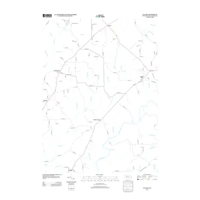
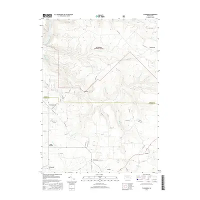
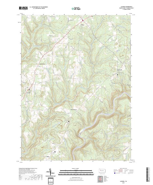 2023 Lucinda2023 Print · USGSClarion County’s rural highlands come into focus in this recent survey of the settlements along the Clarion River. You can trace local family history through landmarks like Saint Joseph Cem, the hamlet of Helen Furnace, and the old crossroads at Scotch Hill.
 - 2023 Map of Tylersburg, 2023 Print
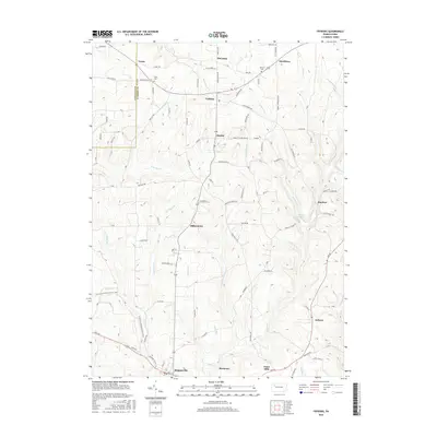
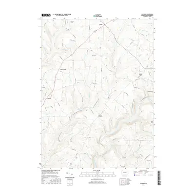
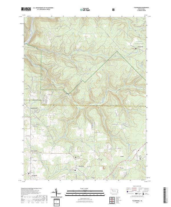 2023 Tylersburg2023 Print · USGSClarion County settlements and the southern edge of the woods define this region in the early twenty-first century. Researchers can trace family roots through numerous local burial sites like Tylersburg Cem and Lickingville Cem or explore old hamlets such as Golinza.
 - 2023 Map of Fryburg, 2023 Print
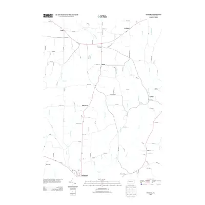
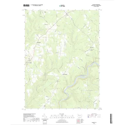
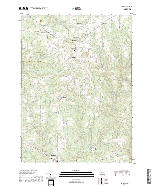 2023 Fryburg2023 Print · USGSClarion County at the start of the 2020s shows a landscape of enduring rural hamlets and deep creek valleys. Genealogists can trace family names through numerous burial sites like Old Methodist Cem and Venus Cem near the borough of Shippenville.
 - 2023 Map of Tionesta, 2023 Print
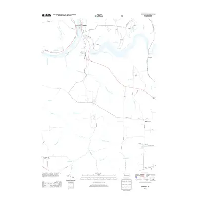
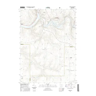
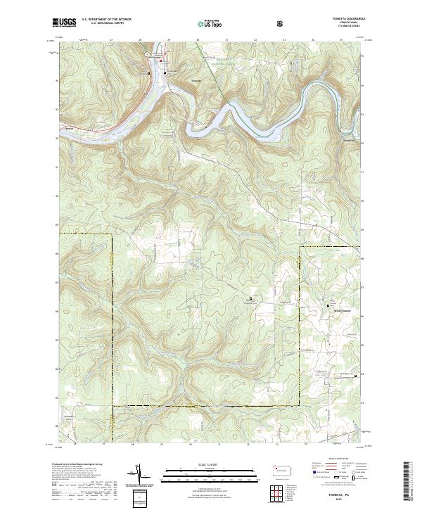 2023 Tionesta2023 Print · USGSThe Allegheny River valley and the protected forests of Forest County are captured here in the early twenty-first century. Researchers can trace local history through the Forest County Courthouse and rural burial sites like Wolfs Corners Cem and Washington Cem.
End of results
Showing maps 1-20 of 20
Top cities near Washington Township
- Cranberry Township historical maps
- Clarion historical maps
- Limestone Township historical maps
- Monroe historical maps
- Cherrytree Township historical maps
- Rockland Township historical maps
See more
Top neighborhoods of Washington Township
- Frills Corners historical maps
- Newmansville historical maps
- Marble historical maps
- Lickingville historical maps
- McCauley historical maps
- Strobleton historical maps
See more
Frequently asked questions
- What are the different types of historical maps available for Washington Township?
- What is the oldest map of Washington Township?
- Where can I purchase historical maps of Washington Township for my home or office?
- Where can I download high-res historical maps of Washington Township?
- Are there historical topographic maps available for Washington Township?
- Is there historical aerial imagery available for Washington Township?
- Where are historical maps of Washington Township sourced from?