Old Maps of Washington Township, Pennsylvania for Academic Research
Study the evolution of Washington Township with 32 high-resolution historic maps. Whether you're teaching, researching, or modeling changes in land use, these maps provide essential visual documentation of urban, environmental, and geographic change.
- Analyze long-term change: Track patterns in development, transportation, and natural features.
- Ideal for environmental or urban studies: Support academic projects with primary historical map data.
- Use in the classroom or lab: Educators and researchers rely on these maps to bring historical context to life.
These maps are a powerful tool for teaching, research, and visualizing how Washington Township has changed over the decades.
Washington Township, PA maps
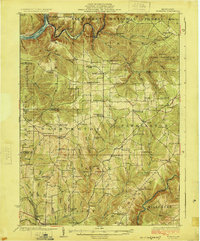
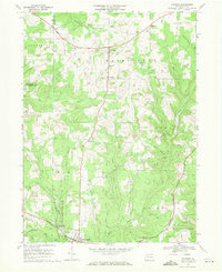
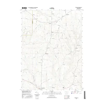
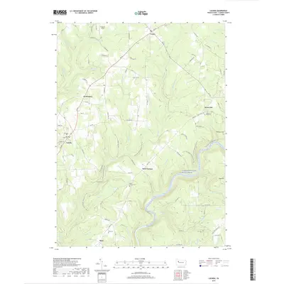
(32)- 1922 Map of Tionesta, 1953 Print
 1922 Tionesta1953 Print · USGSNorthwestern Pennsylvania in the early twenties reveals a landscape defined by timber, the Allegheny River, and a dense network of country schools. Researchers can trace the legacy of small communities like Lucinda, Newmansville, and Fryburg alongside early railroad corridors.3 unique versions available
 - 1924 Map of Tionesta
 1924 Tionesta1924 Print · USGSThe northern Pennsylvania plateau comes alive in the early 1920s as the Allegheny National Forest was being established. Genealogists can trace hundreds of family-named landmarks and rural schoolhouses like Amsler School and Helen Furnace along the Baltimore and Ohio rail lines.4 unique versions available
 - 1946 Map of Tionesta
 1946 Tionesta1946 Print · USGSClarion and Forest Counties appear here in the 1940s, a period when rural schoolhouses and family-named hamlets still defined the interior ridges. Researchers can trace the Allegheny River and Clarion River or find specific landmarks like the Oil Field and Highland Township High Sch.
 - 1957 Map of Warren, 1964 Print
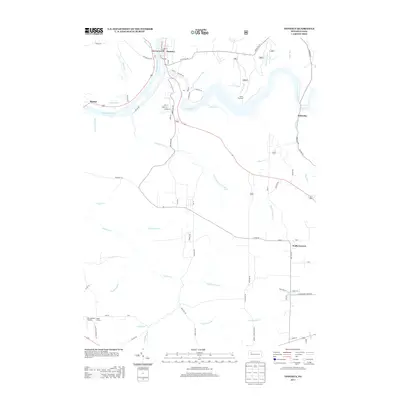
 1957 Warren1964 Print · USGSThe northern Pennsylvania oil and timber country comes into focus in the mid-fifties, showing the region before modern highway expansions. Trace the industrial rail networks of the Pennsylvania RR and the early Allegheny River Reservoir near Warren and Oil City.4 unique versions available
 - 1958 Map of Warren
 1958 Warren1958 Print · USGSNorthern Pennsylvania’s timber and oil country is captured here during the late fifties, showing the interplay of industrial valleys and vast state forests. Genealogists can trace family connections across the Cornplanter Indian Reservation or through rail hubs like Oil City and Saint Marys.
 - 1959 Map of Warren
 1959 Warren1959 Print · USGSNorthern Pennsylvania's oil and timber country comes alive in this late-fifties study of the forest-clad plateaus. Trace the historic Cornplanter (Indian Reservation), the sprawling Oil Field, and the rail lines of the Pennsylvania RR.2 unique versions available
 - 1967 Map of Tylersburg, 1971 Print
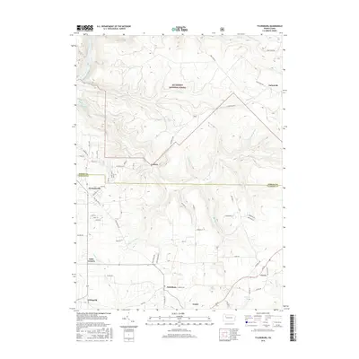
 1967 Tylersburg1971 Print · USGSClarion and Forest counties are shown here in the late sixties, where extraction and deep forests define the terrain. Genealogists can locate family sites in Tylersburg, Lickingville, and Golinza, or trace the Baltimore and Ohio rail line.4 unique versions available
 - 1967 Map of Lucinda, 1971 Print
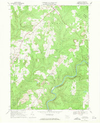 1967 Lucinda1971 Print · USGSClarion County's industrial and spiritual landscape comes alive in the late sixties as the river winding past Helen Furnace meets the Baltimore and Ohio rail lines. Trace family roots at St Josephs Cem or locate remnant sites like the Iron Furnace (Ruins).4 unique versions available
 - 1967 Map of Tionesta, 1971 Print
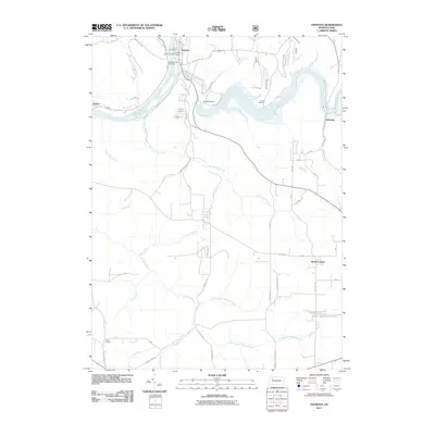
 1967 Tionesta1971 Print · USGSThe Allegheny River valley and the Allegheny National Forest meet in this late 1960s study of Forest County. Researchers can trace the industrial footprint of numerous Oil Wells and rural landmarks such as Mt Collins Cem and the Tionesta Dam.2 unique versions available
 - 1967 Map of Fryburg, 1971 Print
 1967 Fryburg1971 Print · USGSClarion County enters the late sixties as a landscape of deep-woods conservation and industrial extraction. Researchers can locate family roots at St Michaels Sch or trace the rail routes of the Baltimore and Ohio through Paint Mills.4 unique versions available
 - 1971 Map of Warren
 1971 Warren1971 Print · USGSNorth Central Pennsylvania is captured here in the early seventies, showing a landscape defined by industrial centers and massive state forests. Genealogists and historians can trace the rail lines of the Penn Central and Erie Lackawanna connecting towns like Warren, Kane, and Du Bois.
 - 1983 Map of Oil City, 1984 Print
 1983 Oil City1984 Print · USGSThe Allegheny and Clarion river valleys are shown in the early eighties as a hub of rail lines and conservation lands. Genealogists can trace family connections in Oil City and Franklin or locate rural sites like the Pennsylvania State Hospital and School and Coal City.
 - 2010 Map of Lucinda, 2010 Print
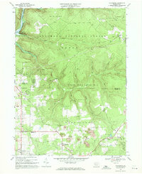
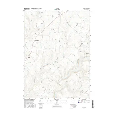
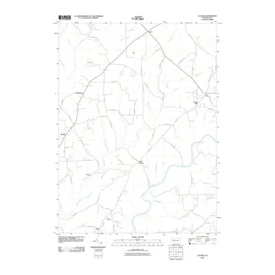 2010 Lucinda2010 Print · USGSCovers Washington Township, including Millcreek Township, Lucinda, and other nearby areas
 - 2010 Map of Fryburg, 2010 Print
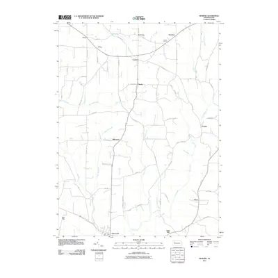 2010 Fryburg2010 Print · USGSCovers Washington Township, including Shippenville, Paint Mills, and other nearby areas
 - 2011 Map of Tylersburg, 2011 Print
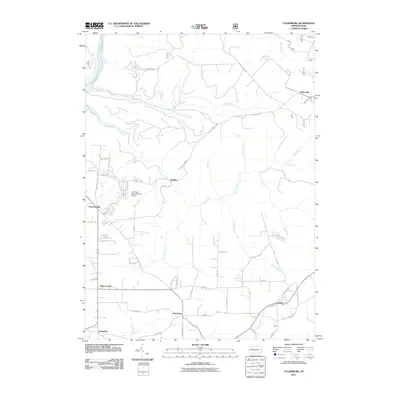 2011 Tylersburg2011 Print · USGSCovers Washington Township, including Newmansville, Lickingville, and other nearby areas
 - 2011 Map of Tionesta, 2011 Print
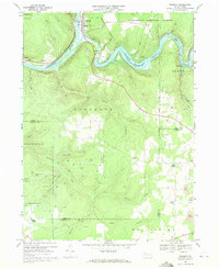
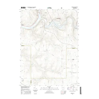
 2011 Tionesta2011 Print · USGSCovers Washington Township, including Tionesta, President Township, and other nearby areas
 - 2013 Map of Lucinda, 2013 Print
 2013 Lucinda2013 Print · USGSCovers Washington Township, including Millcreek Township, Lucinda, and other nearby areas
 - 2013 Map of Fryburg, 2013 Print
 2013 Fryburg2013 Print · USGSCovers Washington Township, including Shippenville, Paint Mills, and other nearby areas
 - 2013 Map of Tylersburg, 2013 Print
 2013 Tylersburg2013 Print · USGSCovers Washington Township, including Newmansville, Lickingville, and other nearby areas
 - 2013 Map of Tionesta, 2013 Print
 2013 Tionesta2013 Print · USGSCovers Washington Township, including Tionesta, President Township, and other nearby areas
 - 2016 Map of Fryburg, 2016 Print
 2016 Fryburg2016 Print · USGSCovers Washington Township, including Shippenville, Paint Mills, and other nearby areas
 - 2016 Map of Tylersburg, 2016 Print
 2016 Tylersburg2016 Print · USGSCovers Washington Township, including Newmansville, Lickingville, and other nearby areas
 - 2016 Map of Lucinda, 2016 Print
 2016 Lucinda2016 Print · USGSCovers Washington Township, including Millcreek Township, Lucinda, and other nearby areas
 - 2016 Map of Tionesta, 2016 Print
 2016 Tionesta2016 Print · USGSCovers Washington Township, including Tionesta, President Township, and other nearby areas
 - 2019 Map of Lucinda, 2019 Print
 2019 Lucinda2019 Print · USGSCovers Washington Township, including Millcreek Township, Lucinda, and other nearby areas
Showing maps 1-25 of 32
Top cities near Washington Township
- Cranberry Township historical maps
- Clarion historical maps
- Limestone Township historical maps
- Monroe historical maps
- Cherrytree Township historical maps
- Rockland Township historical maps
See more
Top neighborhoods of Washington Township
- Frills Corners historical maps
- Newmansville historical maps
- Marble historical maps
- Lickingville historical maps
- McCauley historical maps
- Strobleton historical maps
See more
Frequently asked questions
- What are the different types of historical maps available for Washington Township?
- What is the oldest map of Washington Township?
- Where can I purchase historical maps of Washington Township for my home or office?
- Where can I download high-res historical maps of Washington Township?
- Are there historical topographic maps available for Washington Township?
- Is there historical aerial imagery available for Washington Township?
- Where are historical maps of Washington Township sourced from?