Old Maps of Beccaria Township, Pennsylvania for Genealogy
Trace your family roots with 27 historic maps of Beccaria Township. These high-res maps reveal old neighborhoods, homesites, landmarks, and streets — helping you uncover where your ancestors lived and how the area evolved over time.
- Explore historic neighborhoods: Identify where your relatives may have lived in the 1800s or 1900s.
- Compare maps over time: Trace the changes in streets, buildings, and landmarks for multi-generational research.
- Perfect for genealogy & ancestry research: Used by family historians and researchers to map out lineage and migration.
These maps are an incredible resource for exploring your personal connection to Beccaria Township's past.
Beccaria Township, PA maps
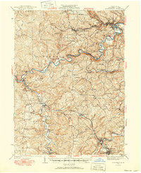
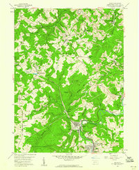
(27)- 1902 Map of Patton, 1955 Print
 1902 Patton1955 Print · USGSCovers Beccaria Township, including Ebensburg, Patton, and other nearby areas
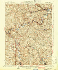
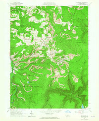
 - 1903 Map of Curwensville
 1903 Curwensville1903 Print · USGSCovers Beccaria Township, including Curwensville, Irvona, and other nearby areas4 unique versions available
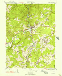
 - 1903 Map of Houtzdale, 1959 Print
 1903 Houtzdale1959 Print · USGSCovers Beccaria Township, including Bigler, Osceola Mills, and other nearby areas
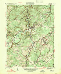
 - 1904 Map of Patton
 1904 Patton1904 Print · USGSCovers Beccaria Township, including Ebensburg, Patton, and other nearby areas5 unique versions available
 - 1905 Map of Houtzdale
 1905 Houtzdale1905 Print · USGSCovers Beccaria Township, including Bigler, Osceola Mills, and other nearby areas5 unique versions available
 - 1920 Map of Altoona, 1954 Print
 1920 Altoona1954 Print · USGSCovers Beccaria Township, including Altoona, Frankstown Township, and other nearby areas6 unique versions available
 - 1922 Map of Altoona
 1922 Altoona1922 Print · USGSCovers Beccaria Township, including Altoona, Frankstown Township, and other nearby areas8 unique versions available
 - 1939 Map of Curwensville, 1952 Print
 1939 Curwensville1952 Print · USGSCovers Beccaria Township, including Curwensville, Irvona, and other nearby areas2 unique versions available
 - 1942 Map of Curwensville
 1942 Curwensville1942 Print · USGSCovers Beccaria Township, including Curwensville, Irvona, and other nearby areas
 - 1943 Map of Punxsutawney
 1943 Punxsutawney1943 Print · USGSCovers Beccaria Township, including Punxsutawney, Northern Cambria, and other nearby areas
 - 1945 Map of Ramey, 1955 Print
 1945 Ramey1955 Print · USGSCovers Beccaria Township, including Ramey, Rush Township, and other nearby areas4 unique versions available
 - 1947 Map of Ramey
 1947 Ramey1947 Print · USGSCovers Beccaria Township, including Ramey, Rush Township, and other nearby areas2 unique versions available
 - 1953 Map of Pittsburgh
 1953 Pittsburgh1953 Print · USGSCovers Beccaria Township, including Pittsburgh, Penn Hills, and other nearby areas
 - 1954 Map of Pittsburgh
 1954 Pittsburgh1954 Print · USGSCovers Beccaria Township, including Pittsburgh, Penn Hills, and other nearby areas2 unique versions available
 - 1958 Map of Pittsburgh
 1958 Pittsburgh1958 Print · USGSCovers Beccaria Township, including Pittsburgh, Penn Hills, and other nearby areas5 unique versions available
 - 1959 Map of Pittsburgh
 1959 Pittsburgh1959 Print · USGSCovers Beccaria Township, including Pittsburgh, Penn Hills, and other nearby areas
 - 1959 Map of Irvona, 1960 Print
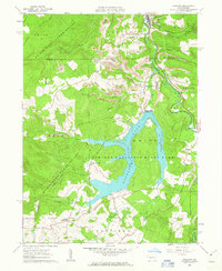
 1959 Irvona1960 Print · USGSCovers Beccaria Township, including Irvona, Glen Hope, and other nearby areas5 unique versions available
 - 1961 Map of Coalport, 1963 Print
 1961 Coalport1963 Print · USGSCovers Beccaria Township, including Coalport, Dean Township, and other nearby areas7 unique versions available
 - 1963 Map of Blandburg, 1965 Print
 1963 Blandburg1965 Print · USGSCovers Beccaria Township, including Dean Township, Clearfield Township, and other nearby areas4 unique versions available
 - 1964 Map of Pittsburgh
 1964 Pittsburgh1964 Print · USGSCovers Beccaria Township, including Pittsburgh, Penn Hills, and other nearby areas
 - 1984 Map of Tyrone, 1985 Print
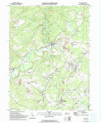
 1984 Tyrone1985 Print · USGSCovers Beccaria Township, including Altoona, Frankstown Township, and other nearby areas
 - 1993 Map of Ramey, 1994 Print
 1993 Ramey1994 Print · USGSCovers Beccaria Township, including Ramey, Rush Township, and other nearby areas
 - 1998 Map of Coalport, 1999 Print
 1998 Coalport1999 Print · USGSCovers Beccaria Township, including Coalport, Dean Township, and other nearby areas
 - 2023 Map of Ramey, 2023 Print
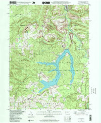
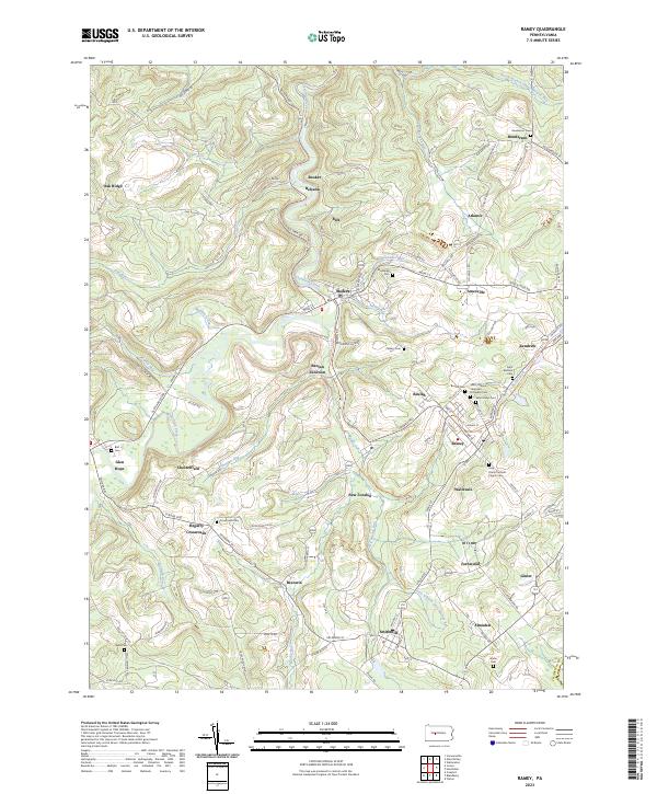 2023 Ramey2023 Print · USGSCovers Beccaria Township, including Ramey, Knox Township, and other nearby areas
 - 2023 Map of Irvona, 2023 Print
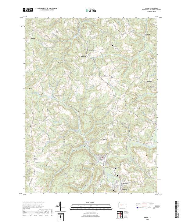 2023 Irvona2023 Print · USGSCovers Beccaria Township, including Irvona, Glen Hope, and other nearby areas
Showing maps 1-25 of 27
Top cities near Beccaria Township
- Altoona historical maps
- Curwensville historical maps
- Bellwood historical maps
- Patton historical maps
- Hastings historical maps
- Bigler historical maps
See more
Top neighborhoods of Beccaria Township
- Hegarty Crossroads historical maps
- New London historical maps
- Heverly historical maps
- Lyleville historical maps
- Rosebud historical maps
- Blain City historical maps
See more
Frequently asked questions
- What are the different types of historical maps available for Beccaria Township?
- What is the oldest map of Beccaria Township?
- Where can I purchase historical maps of Beccaria Township for my home or office?
- Where can I download high-res historical maps of Beccaria Township?
- Are there historical topographic maps available for Beccaria Township?
- Is there historical aerial imagery available for Beccaria Township?
- Where are historical maps of Beccaria Township sourced from?