Old Maps of Union Township, Pennsylvania for Genealogy
Trace your family roots with 32 historic maps of Union Township. These high-res maps reveal old neighborhoods, homesites, landmarks, and streets — helping you uncover where your ancestors lived and how the area evolved over time.
- Explore historic neighborhoods: Identify where your relatives may have lived in the 1800s or 1900s.
- Compare maps over time: Trace the changes in streets, buildings, and landmarks for multi-generational research.
- Perfect for genealogy & ancestry research: Used by family historians and researchers to map out lineage and migration.
These maps are an incredible resource for exploring your personal connection to Union Township's past.
Union Township, PA maps
(32)- 1929 Map of Penfield, 1954 Print
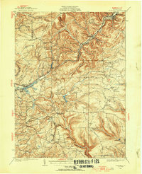 1929 Penfield1954 Print · USGSCentral Pennsylvania's rugged plateau and coal regions are mapped here in the late twenties, showing the intersection of major rail lines and isolated mountain communities. Genealogists can locate family landmarks like the Hoover Farm and several vanished rural schoolhouses including Hickory Sch and Laborde Sch.3 unique versions available
- 1932 Map of Penfield
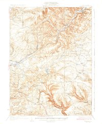 1932 Penfield1932 Print · USGSClearfield County is shown in the early thirties at a time when mountain railroads and forest management defined the region. Local historians can trace the paths of the Pennsylvania RR through Penfield or locate schools such as Coal Hill Sch and Hickory Sch.3 unique versions available
- 1957 Map of Warren, 1964 Print
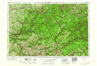 1957 Warren1964 Print · USGSThe northern Pennsylvania oil and timber country comes into focus in the mid-fifties, showing the region before modern highway expansions. Trace the industrial rail networks of the Pennsylvania RR and the early Allegheny River Reservoir near Warren and Oil City.4 unique versions available
- 1958 Map of Warren
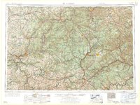 1958 Warren1958 Print · USGSNorthern Pennsylvania’s timber and oil country is captured here during the late fifties, showing the interplay of industrial valleys and vast state forests. Genealogists can trace family connections across the Cornplanter Indian Reservation or through rail hubs like Oil City and Saint Marys.
- 1959 Map of Warren
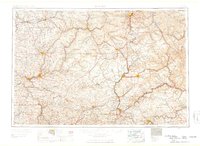 1959 Warren1959 Print · USGSNorthern Pennsylvania's oil and timber country comes alive in this late-fifties study of the forest-clad plateaus. Trace the historic Cornplanter (Indian Reservation), the sprawling Oil Field, and the rail lines of the Pennsylvania RR.2 unique versions available
- 1959 Map of Luthersburg, 1960 Print
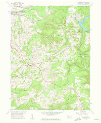 1959 Luthersburg1960 Print · USGSClearfield County's coal and rail landscape comes to life in this late-fifties study of the area between DU BOIS and Rockton. Researchers can trace the BALTIMORE AND OHIO line through old stops like Luthersburg Sta and locate family landmarks such as St Johns Ch or Morningside Cemetery.5 unique versions available
- 1959 Map of Elliott Park, 1960 Print
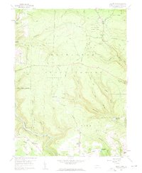 1959 Elliott Park1960 Print · USGSThe Clearfield County high country is documented here in the late fifties as coal extraction and reforestation shaped the landscape. Genealogists and historians can trace family locations near Greenville, Pleasant Grove Ch, and numerous Strip Mines.5 unique versions available
- 1959 Map of Penfield, 1960 Print
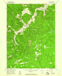 1959 Penfield1960 Print · USGSClearfield County is shown at a mid-century peak of resource extraction and forestry during the late 1950s. Genealogists and historians can trace rail-side settlements like Penfield and Winterburn, or locate family sites near the Mt Pleasant Cem and Laurel Run Cem.5 unique versions available
- 1959 Map of Sabula, 1960 Print
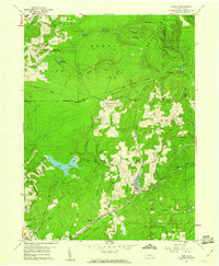 1959 Sabula1960 Print · USGSThe highland railroads and coal-mining operations of Clearfield and Jefferson counties are documented here in the late fifties. Researchers can trace historic family burial sites at Bundy Cem and Morningside Cemetery or locate the Sabula Tunnel and Boy Scout Camp.7 unique versions available
- 1971 Map of Warren
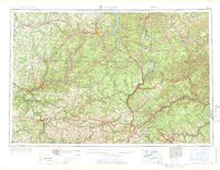 1971 Warren1971 Print · USGSNorth Central Pennsylvania is captured here in the early seventies, showing a landscape defined by industrial centers and massive state forests. Genealogists and historians can trace the rail lines of the Penn Central and Erie Lackawanna connecting towns like Warren, Kane, and Du Bois.
- 1983 Map of Clearfield, 1984 Print
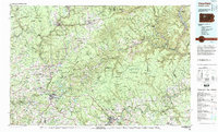 1983 Clearfield1984 Print · USGSPennsylvania's coal and timber heartland is captured in the early eighties as industrial hubs like Du Bois and Saint Marys thrived among the state forests. Genealogists can locate family landmarks like Morningside Cemetery, the old works at Dagus Mines, and the rural community of Byrnedale.
- 1993 Map of Penfield, 1998 Print
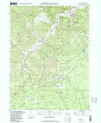 1993 Penfield1998 Print · USGSClearfield County's timber and rail history is etched into the landscape during the 1990s as the Penn Central line winds through the Bennett Branch valley. Genealogists and researchers can trace family landmarks like Mt Pleasant Cem, Bundy Cem, and the quiet settlements of Winterburn and Hollywood.
- 2010 Map of Elliott Park, 2010 Print
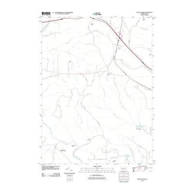 2010 Elliott Park2010 Print · USGSThe Pennsylvania uplands in the early twenty-first century are defined by managed reservoirs and fire protection infrastructure. Genealogists and historians can trace family-named sites like Hoover Farm and Greenville alongside the Rockton Fire Tower.
- 2010 Map of Luthersburg, 2010 Print
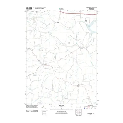 2010 Luthersburg2010 Print · USGSThe rural crossroads and forested ridges of Clearfield County are captured here in the early twenty-first century. Genealogists and local historians can trace family-named sites such as Dressler Cemetery and the settlements of Luthersburg, Rockton, and Chestnut Grove.
- 2010 Map of Penfield, 2010 Print
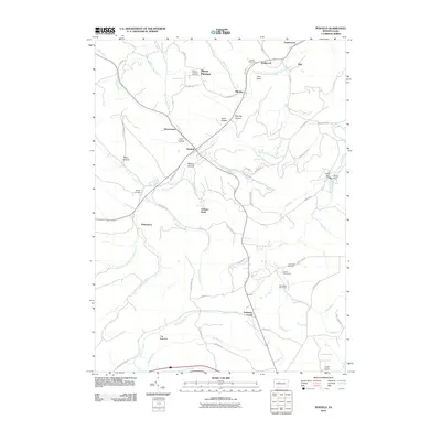 2010 Penfield2010 Print · USGSClearfield County's mountainous heart is revealed in the early twenty-first century, showing the settlement patterns along the Bennett Branch Sinnemahoning Creek. Genealogists can locate family sites at Mount Pleasant Cemetery and Bundy Cemetery, or trace the legacy of remote outposts like Laurel Bend Camp.
- 2010 Map of Sabula, 2010 Print
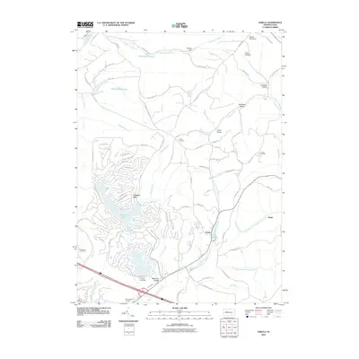 2010 Sabula2010 Print · USGSSandy Township and the mountains of Clearfield County appear in the early 21st century as a landscape of wooded hollows and growing lakeside communities. Genealogists and local historians can locate early burial grounds like Bundy Cemetery or trace landmarks such as the Boone Mountain Fire Tower and Lake Sabula.
- 2013 Map of Luthersburg, 2013 Print
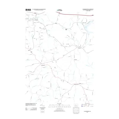 2013 Luthersburg2013 Print · USGSClearfield County's rural crossroads and water networks are documented here in the early 2010s. Researchers can trace family-named landmarks and old settlements like Luthersburg, Rockton, and Coal Hill near the shores of Du Bois Reservoir.
- 2013 Map of Sabula, 2013 Print
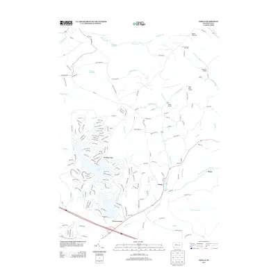 2013 Sabula2013 Print · USGSSandy Township and its recreational hubs are captured here in the early twenty-first century as modern developments meet older rural enclaves. Researchers can trace the extensive street networks of Treasure Lake and the traditional settlements of Sabula and Walsh.
- 2013 Map of Penfield, 2013 Print
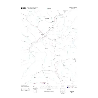 2013 Penfield2013 Print · USGSThe rural communities of Clearfield County are captured here in the early twenty-first century, centered on the historic village of Penfield. Genealogists and researchers can trace the roads connecting Winterburn, Hoovertown, and the various camps like Laurel Bend Camp.
- 2013 Map of Elliott Park, 2013 Print
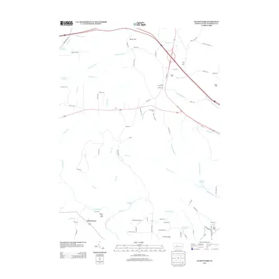 2013 Elliott Park2013 Print · USGSClearfield County's high ridges and watersheds are captured here in the early twenty-first century. Genealogists and local historians can locate Greenville, the Hoover Farm, and high-point landmarks like the Smith Fire Tower and Rockton Fire Tower.
- 2016 Map of Penfield, 2016 Print
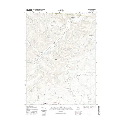 2016 Penfield2016 Print · USGSThe mountain valleys of Clearfield and Elk counties are shown here in the mid-2010s, focused on the settlements along the Bennett Branch. Researchers can trace local heritage at Mount Pleasant Cem, locate the heights of Gobbler Knob, and explore the hollows around Penfield and Winterburn.
- 2016 Map of Sabula, 2016 Print
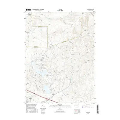 2016 Sabula2016 Print · USGSSandy Township and the intersection of Elk, Jefferson, and Clearfield counties are documented here during a period of significant residential and recreational development. Researchers can trace family history at Bundy Cem or map the growth of Treasure Lake and the rural settlement of Sabula.
- 2016 Map of Luthersburg, 2016 Print
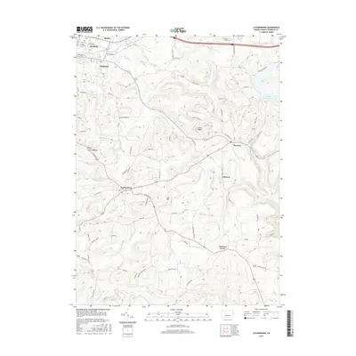 2016 Luthersburg2016 Print · USGSClearfield County's upland settlements and creek valleys are captured here during the mid-2010s. Researchers can trace family-named roads and rural communities like Luthersburg, Rockton, and Chestnut Grove, or locate the Dresstler Cem near the Du Bois Reservoir.
- 2016 Map of Elliott Park, 2016 Print
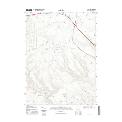 2016 Elliott Park2016 Print · USGSClearfield County's high plateau and forested watersheds are documented here in the mid-2010s. Local historians can trace the geography around Greenville and Elliott Park, identifying landmarks like Old Orchard Airport and the waters of Du Bois Reservoir.
- 2019 Map of Sabula, 2019 Print
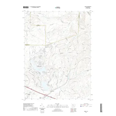 2019 Sabula2019 Print · USGSThe Pennsylvania highlands north of Dubois are shown in this modern survey, where planned resort living meets historic mountain hollows. Genealogists and local historians can locate generational burial sites like Heath Homestead Cem and Bundy Cem near the waters of Treasure Lake.
Showing maps 1-25 of 32
Top cities near Union Township
- Sandy Township historical maps
- DuBois historical maps
- Clearfield historical maps
- Curwensville historical maps
- Brockway historical maps
- Sykesville historical maps
See more
Top neighborhoods of Union Township
Frequently asked questions
- What are the different types of historical maps available for Union Township?
- What is the oldest map of Union Township?
- Where can I purchase historical maps of Union Township for my home or office?
- Where can I download high-res historical maps of Union Township?
- Are there historical topographic maps available for Union Township?
- Is there historical aerial imagery available for Union Township?
- Where are historical maps of Union Township sourced from?