
1929 Map of Penfield
USGS Topo · Published 1954About this map
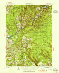
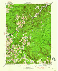
Tyler and Penfield sit along the winding valley of Bennett Branch in this 1929 survey, where the Buffalo Rochester and Pittsburgh RR follows the narrow corridors of the Allegheny Plateau. The landscape is defined by its early industrial and agricultural footprint, marked by numerous rural schoolhouses such as Gelnett Sch, Coal Hill Sch, and Mt Pleasant Sch that served isolated upland communities. To the west, Du Bois and Oklahoma emerge as more concentrated hubs of activity near Sandy Lick Creek. High points along Boone Mountain and Beacon Ridge are anchored by fire lookout towers, including the Boone Mountain Fire Tower, while the terrain below is crisscrossed by old thoroughfares like the Pennsylvania and Susquehanna Road. This snapshot of central Pennsylvania shows a region transitioning from a timber and rail economy into a more established network of farms and small settlements.
Find a feature on this map
117 named features on this map. Tap any name to fly to it.
Don’t see what you’re looking for? This feature index may not catch every label — zoom into the map to look around manually.
Map Details
Editions of this 1929 Penfield Map
3 editions found
Other maps of this area

1903 · Curwensville
USGS Topo · 1:62,500

1903 · Houtzdale
USGS Topo · 1:62,500

1905 · Houtzdale
USGS Topo · 1:62,500

1906 · Punxsutawney
USGS Topo · 1:62,500

1922 · Du Bois
USGS Topo · 1:62,500

1924 · Du Bois
USGS Topo · 1:62,500

1929 · Clearfield
USGS Topo · 1:48,000

1932 · Clearfield
USGS Topo · 1:62,500

1932 · Penfield
USGS Topo · 1:62,500

1939 · Curwensville
USGS Topo · 1:62,500