Old Maps of Almedia, Pennsylvania for Academic Research
Study the evolution of Almedia with 23 high-resolution historic maps. Whether you're teaching, researching, or modeling changes in land use, these maps provide essential visual documentation of urban, environmental, and geographic change.
- Analyze long-term change: Track patterns in development, transportation, and natural features.
- Ideal for environmental or urban studies: Support academic projects with primary historical map data.
- Use in the classroom or lab: Educators and researchers rely on these maps to bring historical context to life.
These maps are a powerful tool for teaching, research, and visualizing how Almedia has changed over the decades.
Almedia, PA maps
(23)- 1894 Map of Bloomsburg
 1894 Bloomsburg1894 Print · USGSThe Sesquehanna River valley in the late nineteenth century shows a landscape shaped by competing rail and water transport. Genealogists can trace family roots in river towns like Mifflinville or follow the mills and stations along Fishing Creek and the Sullivan RR.6 unique versions available
 - 1947 Map of Bloomsburg
 1947 Bloomsburg1947 Print · USGSColumbia County at the dawn of the postwar era reveals a bustling river valley centered on Bloomsburg. Researchers can trace the legacy of the State Teachers College, local industry at the Paper Mill, and rural sites like Hidlay Ch.2 unique versions available
 - 1947 Map of Mifflinville
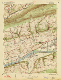 1947 Mifflinville1947 Print · USGSThe Susquehanna River valley in the late 1940s reveals a corridor of industrial growth and rural tradition. Researchers can trace family roots at Roselawn Cem, locate the old Center Sch, or follow the rail lines through Lime Ridge and Mifflinville.2 unique versions available
 - 1953 Map of Bloomsburg, 1955 Print
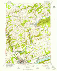 1953 Bloomsburg1955 Print · USGSBloomsburg and the Susquehanna River valley are captured here in the early fifties, showing a landscape defined by collegiate growth and industrial transit. Researchers can locate State Teachers College, the Irondale Dam, and neighborhood landmarks like Espy and the New Rosemont Cemetery.4 unique versions available
 - 1954 Map of Williamsport
 1954 Williamsport1954 Print · USGSNorth-central Pennsylvania in the mid-fifties is defined by the winding West Branch Susquehanna River and its industrial valley. Local historians can trace the massive Susquehanna Ordnance Depot and the extensive rail networks of the Pennsylvania Railroad.
 - 1954 Map of Mifflinville, 1955 Print
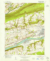 1954 Mifflinville1955 Print · USGSThe Susquehanna River valley in the mid-1950s is shown here at its industrial and agrarian height, dominated by the great rail lines and river towns. Genealogists and local historians can trace family roots at Roselawn Cemetery, the Old Stone Ch, and vanished markers near Dennis Mills.4 unique versions available
 - 1954 Map of Bloomsburg, 1955 Print
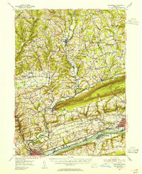 1954 Bloomsburg1955 Print · USGSBloomsburg and the Susquehanna River valley are captured in the mid-fifties, showing the region's transition from riverfront industry to upland farming. Genealogists can trace family names across Coles Mill, Hidlay Ch Cem, and the State Teachers College.2 unique versions available
 - 1960 Map of Williamsport
 1960 Williamsport1960 Print · USGSNorth-central Pennsylvania in the mid-twentieth century was a vital corridor of rail and river industry stretching from the New York line to the coal regions. Genealogists can trace the rail networks of the Pennsylvania RR and Lehigh Valley RR connecting towns like Williamsport, Towanda, and Lock Haven.
 - 1962 Map of Williamsport, 1966 Print
 1962 Williamsport1966 Print · USGSNorth-central Pennsylvania was a landscape of industrial river hubs and vast state woodlands in the early sixties. Researchers can trace the path of the Pennsylvania Railroad through Williamsport and explore the remote reaches of Bucktail State Park.5 unique versions available
 - 1965 Map of Williamsport
 1965 Williamsport1965 Print · USGSNorth-central Pennsylvania in the mid-1960s is defined by the industrial river towns and vast timberlands of the Allegheny Plateau. Researchers can trace historic rail lines like the Erie Lackawanna and Reading as they thread through Williamsport, Lock Haven, and Jersey Shore.
 - 1966 Map of Williamsport
 1966 Williamsport1966 Print · USGSThe Susquehanna Valley was a hub of transit and industry in the mid-seventies, where the river's West Branch connected major college towns and timberlands. Researchers can trace historical rail lines like the Reading or locate regional landmarks from Jersey Shore to Ricketts Glen State Park.
 - 1984 Map of Williamsport East, 1985 Print
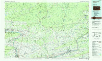 1984 Williamsport East1985 Print · USGSThe Susquehanna River valley and Allegheny highlands come together in this mid-eighties survey of central Pennsylvania. Trace family roots at Muncy Cem or locate institutional landmarks like Lycoming College and the State Correctional Institution at Retreat.2 unique versions available
 - 1999 Map of Bloomsburg, 2001 Print
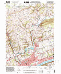 1999 Bloomsburg2001 Print · USGSThe Susquehanna River valley near Bloomsburg is seen here in the late twentieth century as a hub of education and industry. Researchers can trace the layout of the State Teachers College, local churches like Canby Ch, and the historic community of Light Street.
 - 2010 Map of Mifflinville, 2010 Print
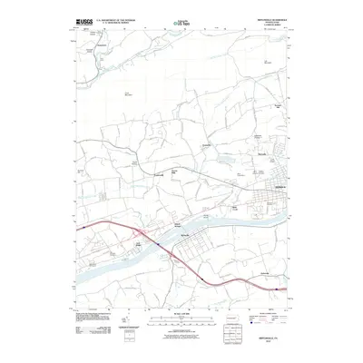 2010 Mifflinville2010 Print · USGSThe Susquehanna River valley in the early twenty-first century reveals a landscape of enduring riverside villages and mountain ridges. Trace local ancestry through sites like Brown Cemetery or the clusters of churches and cemeteries in Martzville and Mifflinville.
 - 2010 Map of Bloomsburg, 2010 Print
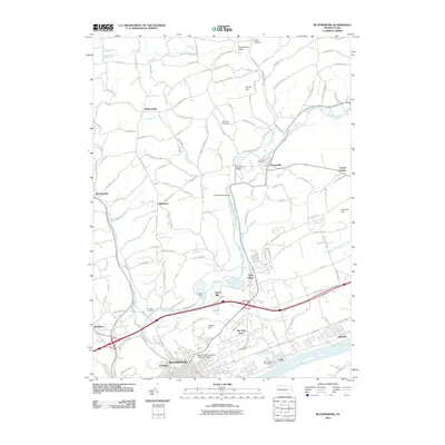 2010 Bloomsburg2010 Print · USGSThe Bloomsburg area at the start of the decade shows a riverside community expanding from its historic core toward Sky View Acres. Researchers can trace local heritage through sites like New Rosemont Cemetery, the Irondale Dam, and the Bloomsburg University of Pennsylvania campus.
 - 2013 Map of Bloomsburg, 2013 Print
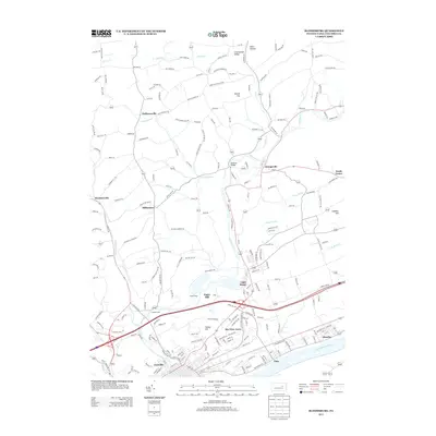 2013 Bloomsburg2013 Print · USGSColumbia County at the start of the 2010s shows a landscape defined by the Susquehanna River and its industrial tributaries. Genealogists and historians can trace the development of riverside towns like Espy or find local landmarks such as Irondale Dam and the Paper Mill settlement.
 - 2013 Map of Mifflinville, 2013 Print
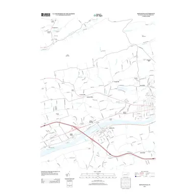 2013 Mifflinville2013 Print · USGSColumbia County’s riverfront and ridge country are captured here in the early twenty-first century as modern transit corridors meet older valley settlements. Researchers can trace the development of Mifflinville and Briar Creek or locate local landmarks like Seesholtz Airport and Dennis Mills.
 - 2016 Map of Bloomsburg, 2016 Print
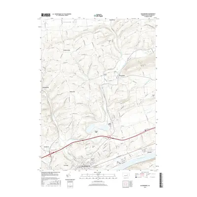 2016 Bloomsburg2016 Print · USGSBloomsburg and the surrounding Susquehanna River valley are documented here in the mid-2010s, showing the region's mix of university town life and rural uplands. Researchers can locate family landmarks such as McHenry Cemetery, trace the path of Fishing Creek, and explore the layout of historic boroughs like Orangeville and Light Street.
 - 2016 Map of Mifflinville, 2016 Print
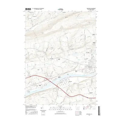 2016 Mifflinville2016 Print · USGSThe Susquehanna River valley and its surrounding ridges come alive in this mid-2010s survey of Columbia County. Genealogists can trace family heritage through numerous sites like Saint Marys Cem, Elan Memorial Cem, and the old Brown Cem.
 - 2019 Map of Bloomsburg, 2019 Print
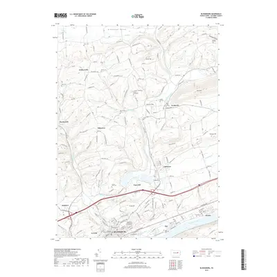 2019 Bloomsburg2019 Print · USGSBloomsburg and the Susquehanna River valley are captured here in the late twenty-tens, showing the area's development from the university campus to quiet rural hollers. Researchers can locate family landmarks like the Mc Henry Cem, Bowman Bridge, and the Columbia County Courthouse.
 - 2019 Map of Mifflinville, 2019 Print
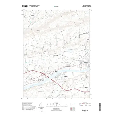 2019 Mifflinville2019 Print · USGSThe Susquehanna River valley in Columbia County appears here in the modern era, showing a landscape defined by prominent ridges and river-bend settlements. Genealogists can trace numerous family and denominational sites, from the Creasy Family Cem to the Russian Orthodox Cem and Seesholtz Airport.
 - 2023 Map of Mifflinville, 2023 Print
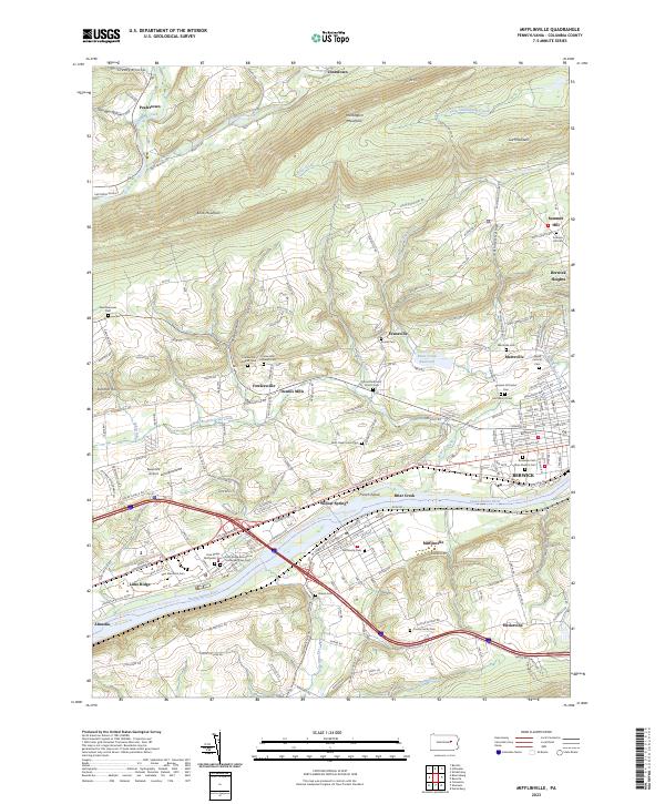 2023 Mifflinville2023 Print · USGSThe Susquehanna River valley in Columbia County appears here in the early twenty-first century, showing the corridor between Mifflinville and Berwick. Genealogists can locate family landmarks like the Creasy Family Cem, Brown Cem, and Saint Marys Cem.
 - 2023 Map of Bloomsburg, 2023 Print
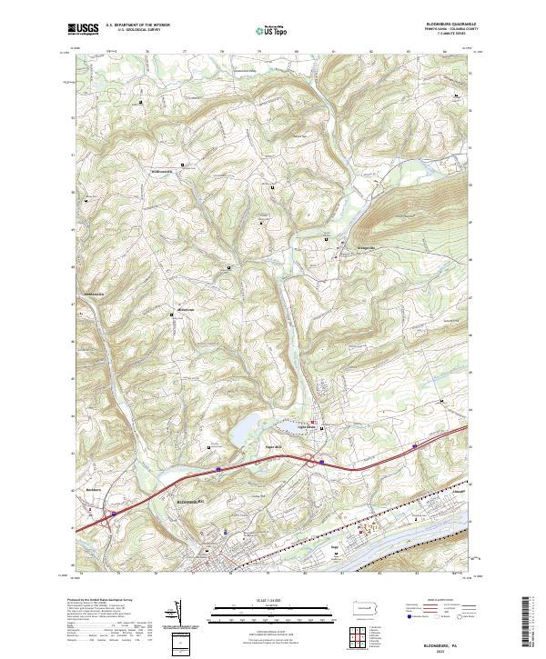 2023 Bloomsburg2023 Print · USGSBloomsburg and the Susquehanna River valley are shown in comprehensive detail in the twenty-first century, from the university campus to the rural ridges. Genealogists can trace family heritage at Old Rosemont Cem, Creveling Cem, and Hidlay Ch.
End of results
Showing maps 1-23 of 23
Top cities near Almedia
- Bloomsburg historical maps
- Berwick historical maps
- Shamokin historical maps
- Mount Carmel historical maps
- Shenandoah historical maps
- Kulpmont historical maps
See more
Frequently asked questions
- What are the different types of historical maps available for Almedia?
- What is the oldest map of Almedia?
- Where can I purchase historical maps of Almedia for my home or office?
- Where can I download high-res historical maps of Almedia?
- Are there historical topographic maps available for Almedia?
- Is there historical aerial imagery available for Almedia?
- Where are historical maps of Almedia sourced from?