2000s (21st Century) Maps of Hemlock Township, Pennsylvania
Explore 20 historic maps of Hemlock Township from the 2000s (21st Century). These maps offer a rare glimpse into what life looked like during the 2000s — showing old roads, neighborhoods, homes, and landmarks that have changed or disappeared over time.
Whether you're researching your family's past, planning a metal detecting trip, or studying how Hemlock Township's landscape evolved across the 2000s, these high-resolution maps are a powerful tool for exploring the history of this region.
- Focus on a specific era: All maps on this page are from the 2000s, giving you a focused view of this time period.
- See what’s changed: Compare century-old streets, trails, and buildings to today's modern landscape using overlays and satellite layers.
- Research with precision: Use these maps for genealogy, historical research, land use analysis, or educational projects.
- View, download, or print: Maps are fully viewable online in high resolution, and can be downloaded or printed for your own records.
Start exploring Hemlock Township's history through authentic maps from the 2000s. This is your window into the past.
Hemlock Township, PA maps
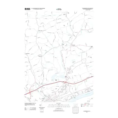
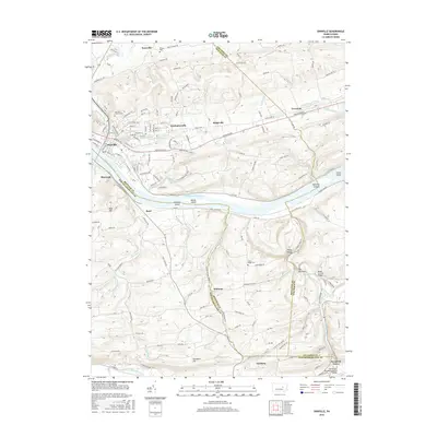
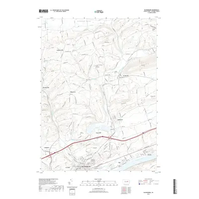
(20)- 2010 Map of Bloomsburg, 2010 Print
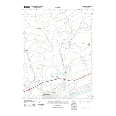 2010 Bloomsburg2010 Print · USGSCovers Hemlock Township, including Bloomsburg, Greenwood Township, and other nearby areas
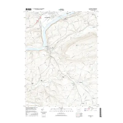
 - 2010 Map of Millville, 2010 Print
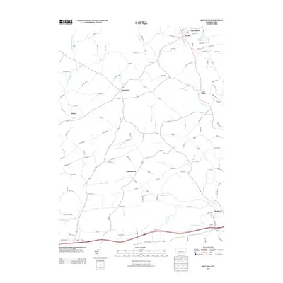
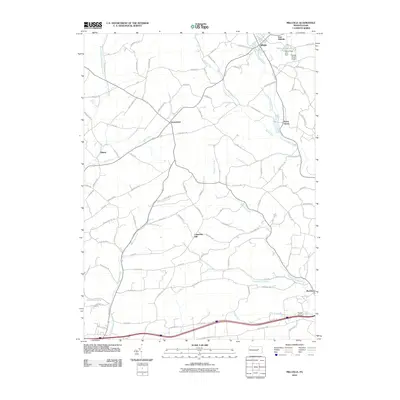 2010 Millville2010 Print · USGSCovers Hemlock Township, including Greenwood Township, Millville, and other nearby areas
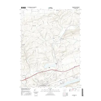
 - 2010 Map of Danville, 2010 Print
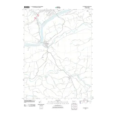
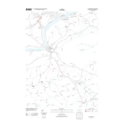
 2010 Danville2010 Print · USGSCovers Hemlock Township, including Elysburg, Valley Township, and other nearby areas
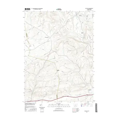
 - 2010 Map of Catawissa, 2010 Print
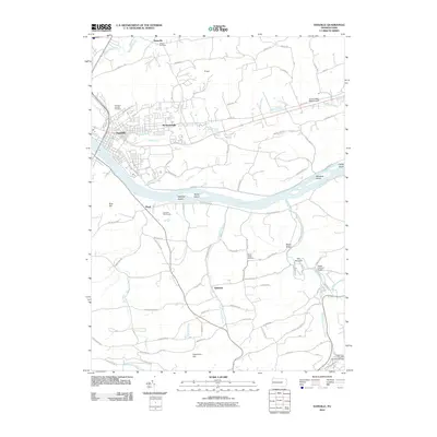
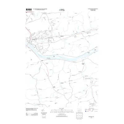
 2010 Catawissa2010 Print · USGSCovers Hemlock Township, including Bloomsburg, Scott Township, and other nearby areas
 - 2013 Map of Bloomsburg, 2013 Print
 2013 Bloomsburg2013 Print · USGSCovers Hemlock Township, including Bloomsburg, Greenwood Township, and other nearby areas
 - 2013 Map of Millville, 2013 Print
 2013 Millville2013 Print · USGSCovers Hemlock Township, including Greenwood Township, Millville, and other nearby areas
 - 2013 Map of Catawissa, 2013 Print
 2013 Catawissa2013 Print · USGSCovers Hemlock Township, including Bloomsburg, Scott Township, and other nearby areas
 - 2013 Map of Danville, 2013 Print
 2013 Danville2013 Print · USGSCovers Hemlock Township, including Elysburg, Valley Township, and other nearby areas
 - 2016 Map of Danville, 2016 Print
 2016 Danville2016 Print · USGSCovers Hemlock Township, including Elysburg, Valley Township, and other nearby areas
 - 2016 Map of Catawissa, 2016 Print
 2016 Catawissa2016 Print · USGSCovers Hemlock Township, including Bloomsburg, Scott Township, and other nearby areas
 - 2016 Map of Bloomsburg, 2016 Print
 2016 Bloomsburg2016 Print · USGSCovers Hemlock Township, including Bloomsburg, Greenwood Township, and other nearby areas
 - 2016 Map of Millville, 2016 Print
 2016 Millville2016 Print · USGSCovers Hemlock Township, including Greenwood Township, Millville, and other nearby areas
 - 2019 Map of Danville, 2019 Print
 2019 Danville2019 Print · USGSCovers Hemlock Township, including Elysburg, Valley Township, and other nearby areas
 - 2019 Map of Bloomsburg, 2019 Print
 2019 Bloomsburg2019 Print · USGSCovers Hemlock Township, including Bloomsburg, Greenwood Township, and other nearby areas
 - 2019 Map of Catawissa, 2019 Print
 2019 Catawissa2019 Print · USGSCovers Hemlock Township, including Bloomsburg, Scott Township, and other nearby areas
 - 2019 Map of Millville, 2019 Print
 2019 Millville2019 Print · USGSCovers Hemlock Township, including Greenwood Township, Millville, and other nearby areas
 - 2023 Map of Millville, 2023 Print
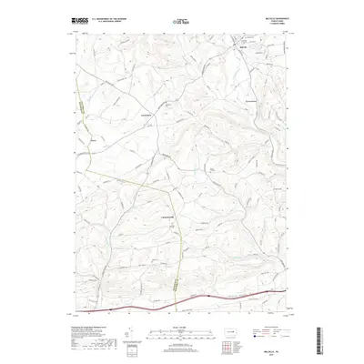
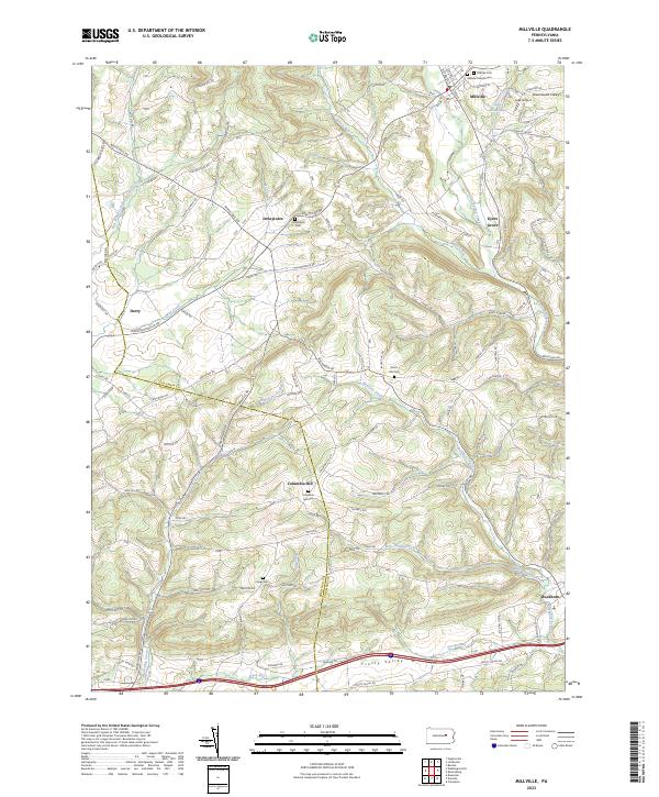 2023 Millville2023 Print · USGSColumbia and Montour counties appear here in the early twenty-first century as a network of rural valleys and ridge-top settlements. Researchers can locate numerous local burial sites including Jerseytown and Columbia Hill Cem or trace waterways like Frozen Run.
 - 2023 Map of Bloomsburg, 2023 Print
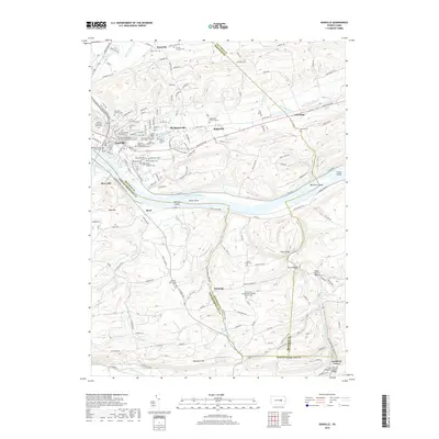
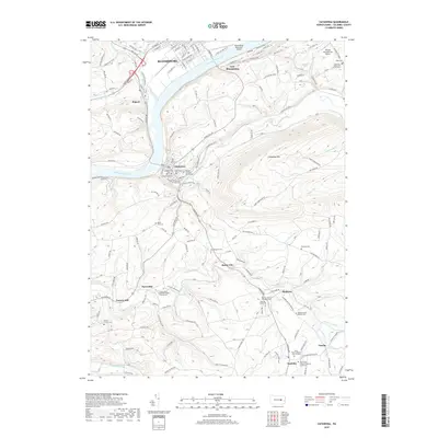
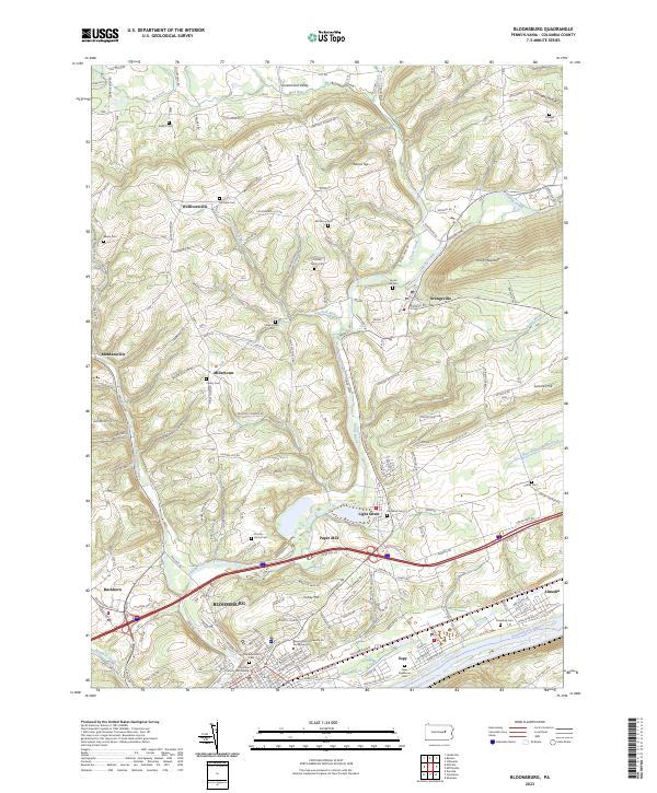 2023 Bloomsburg2023 Print · USGSBloomsburg and the Susquehanna River valley are shown in comprehensive detail in the twenty-first century, from the university campus to the rural ridges. Genealogists can trace family heritage at Old Rosemont Cem, Creveling Cem, and Hidlay Ch.
 - 2023 Map of Catawissa, 2023 Print
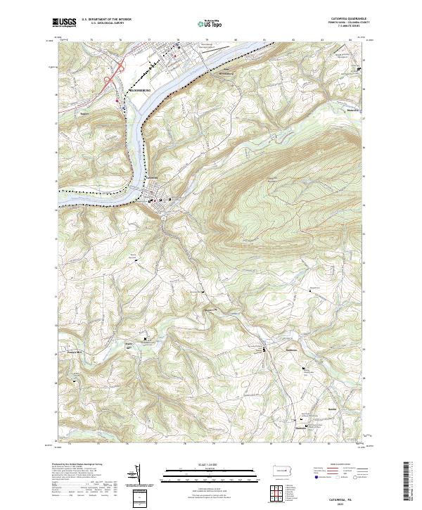 2023 Catawissa2023 Print · USGSCatawissa and the Susquehanna River valley are documented here in the 2020s, showing a landscape shaped by early religious settlements and river-valley industry. Genealogists can trace numerous family-named sites and burial grounds like McIntyre Cem, Pensyls Mill, and the Roaring Creek Quaker Cem.
 - 2023 Map of Danville, 2023 Print
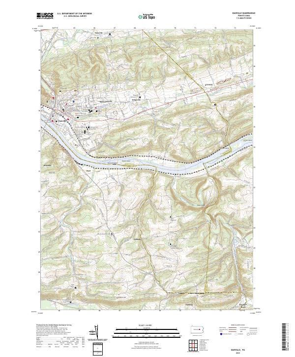 2023 Danville2023 Print · USGSDanville and the surrounding river valley are captured here in the early twenty-first century as they span the borders of Montour, Northumberland, and Columbia counties. Researchers can locate numerous historical burial sites like Saint Josephs Cem and trace the paths of Toby Run and Roaring Creek.
End of results
Showing maps 1-20 of 20
Top cities near Hemlock Township
- Bloomsburg historical maps
- Elysburg historical maps
- Greenwood Township historical maps
- North Centre Township historical maps
- Riverside historical maps
- Moreland Township historical maps
See more
Top neighborhoods of Hemlock Township
Frequently asked questions
- What are the different types of historical maps available for Hemlock Township?
- What is the oldest map of Hemlock Township?
- Where can I purchase historical maps of Hemlock Township for my home or office?
- Where can I download high-res historical maps of Hemlock Township?
- Are there historical topographic maps available for Hemlock Township?
- Is there historical aerial imagery available for Hemlock Township?
- Where are historical maps of Hemlock Township sourced from?