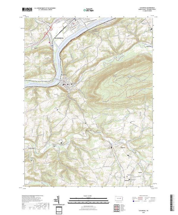
2023 Map of Catawissa
USGS Topo · Published 2023About this map
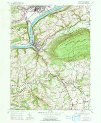
The Susquehanna River and Catawissa Creek converge in this river valley landscape, anchoring the borough of Catawissa and the southern edge of Bloomsburg. This area preserves a dense record of early German and Quaker settlement, evidenced by a high concentration of denominational cemeteries and churches such as the Roaring Creek Quaker Cem and Hillside Lutheran Church. The terrain is defined by the steep rise of Catawissa Mountain and Mount Zion, which separate the river flats from the agricultural highlands to the south. Local industry and early infrastructure are grounded in labels for Parrs Mill and Pensyls Mill along Roaring Creek, while modern aviation is represented by the Bloomsburg Municipal Airport and the smaller Broadt Personal Use Airport. Numerous small crossroads communities like Numidia, Slabtown, and Newlin dot the southern half of the map, connected by a network of rural routes and the Fire Tower Rd.
Find a feature on this map
53 named features on this map. Tap any name to fly to it.
Don’t see what you’re looking for? This feature index may not catch every label — zoom into the map to look around manually.
Map Details
Editions of this 2023 Catawissa Map
This is the sole edition of this map. No revisions or reprints were ever made.
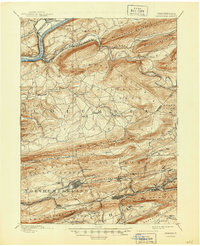
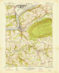
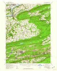
Historical Maps of Hemlock Township Through Time
7 maps found


Featured Locations
- Bloomsburg, PA
- Montour Township, PA
- Scott Township, PA
- Numidia, Locust Township
- East Bloomsburg, Catawissa Township