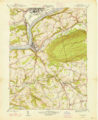
1947 Map of Catawissa
USGS Topo · Published 1947About this map
The Susquehanna River flows through a landscape defined by heavy industry and small valley settlements in this post-war topographic survey. The confluence of Fishing Creek and the river anchors the regional hub of Bloomsburg, while the town of Catawissa serves as a vital junction for multiple railroad lines, including the Reading and the Pennsylvania systems. This era shows a dense network of rural infrastructure, with small community centers like Mainville and Slabtown connected by winding valley roads.
Find a feature on this map
58 named features on this map. Tap any name to fly to it.
Don’t see what you’re looking for? This feature index may not catch every label — zoom into the map to look around manually.
Map Details
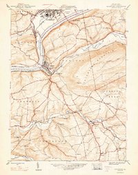
Editions of this 1947 Catawissa Map
2 editions found
Other maps of this area

1889 · Catawissa
USGS Topo · 1:62,500

1892 · Catawissa
USGS Topo · 1:62,500

1892 · Shamokin
USGS Topo · 1:62,500

1893 · Shamokin
USGS Topo · 1:62,500

1894 · Catawissa
USGS Topo · 1:62,500

1894 · Bloomsburg
USGS Topo · 1:62,500

1935 · Hughesville
USGS Topo · 1:62,500

1943 · Shamokin
USGS Topo · 1:62,500

1947 · Bloomsburg
USGS Topo · 1:24,000

1947 · Ashland
USGS Topo · 1:24,000