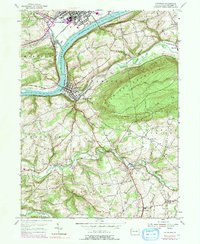
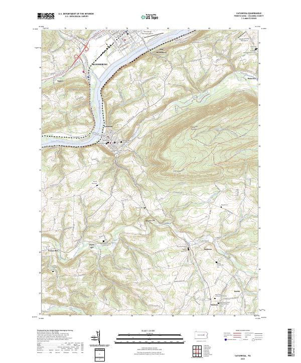
1955 Map of Catawissa
USGS Topo · Published 1960About this map
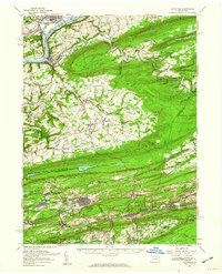
Catawissa and the surrounding coal-bearing ridges of Columbia and Schuylkill counties define this mid-century landscape. The map captures the dense settlement patterns of the anthracite region before the modern era, showing Centralia and Ashland as thriving community hubs. Transport corridors are dominated by the Susquehanna River and a network of railroads, including the Pennsylvania and Reading lines, which serviced the valleys between Locust Mountain and Nescopeck Mountain.
Find a feature on this map
112 named features on this map. Tap any name to fly to it.
Don’t see what you’re looking for? This feature index may not catch every label — zoom into the map to look around manually.
Map Details
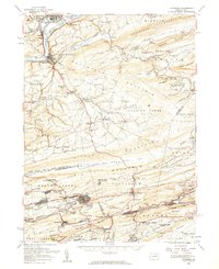
Editions of this 1955 Catawissa Map
2 editions found
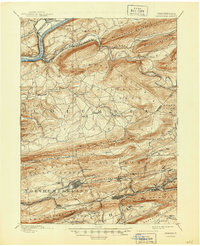
Historical Maps of Bloomsburg Through Time
11 maps found

1889 Catawissa
Columbia County, PA

1892 Catawissa
Columbia County, PA
1894 Catawissa
Columbia County, PA
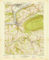
1947 Catawissa
Columbia County, PA
1955 Catawissa
Columbia County, PA
1955 Catawissa
Columbia County, PA
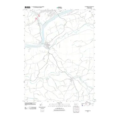
2010 Catawissa
Columbia County, PA
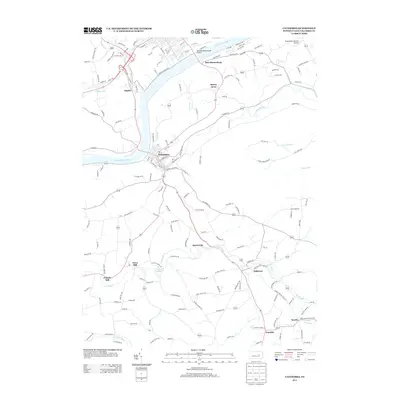
2013 Catawissa
Columbia County, PA
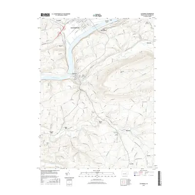
2016 Catawissa
Columbia County, PA
2019 Catawissa
Columbia County, PA
2023 Catawissa
Columbia County, PA