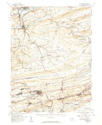
1955 Map of Catawissa
USGS Topo · Published 1960About this map
Coal-country industry and small-town geography define this mid-century survey of the Catawissa Mountain region. The landscape is dominated by the anthracite legacy of the southern reaches, where the complex grid of Centralia and the nearby Mine Dump sit just above the ridge from Byrnsville and Germantown. This era shows these communities at a point of high density before subterranean fires and urban changes altered the local map.
Find a feature on this map
133 named features on this map. Tap any name to fly to it.
Don’t see what you’re looking for? This feature index may not catch every label — zoom into the map to look around manually.
Map Details
Editions of this 1955 Catawissa Map
2 editions found
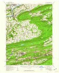
Other maps of this area

1889 · Catawissa
USGS Topo · 1:62,500

1889 · Pottsville
USGS Topo · 1:62,500

1891 · Pottsville
USGS Topo · 1:62,500

1892 · Catawissa
USGS Topo · 1:62,500

1892 · Lykens
USGS Topo · 1:62,500

1892 · Shamokin
USGS Topo · 1:62,500

1892 · Mahanoy
USGS Topo · 1:62,500

1892 · Pine Grove
USGS Topo · 1:62,500

1893 · Lykens
USGS Topo · 1:62,500

1893 · Shamokin
USGS Topo · 1:62,500