2000s (21st Century) Maps of Crawford County, Pennsylvania
Explore 49 historic maps of Crawford County from the 2000s (21st Century). These maps offer a rare glimpse into what life looked like during the 2000s — showing old roads, neighborhoods, homes, and landmarks that have changed or disappeared over time.
Whether you're researching your family's past, planning a metal detecting trip, or studying how Crawford County's landscape evolved across the 2000s, these high-resolution maps are a powerful tool for exploring the history of this region.
- Focus on a specific era: All maps on this page are from the 2000s, giving you a focused view of this time period.
- See what’s changed: Compare century-old streets, trails, and buildings to today's modern landscape using overlays and satellite layers.
- Research with precision: Use these maps for genealogy, historical research, land use analysis, or educational projects.
- View, download, or print: Maps are fully viewable online in high resolution, and can be downloaded or printed for your own records.
Start exploring Crawford County's history through authentic maps from the 2000s. This is your window into the past.
Crawford County, PA maps
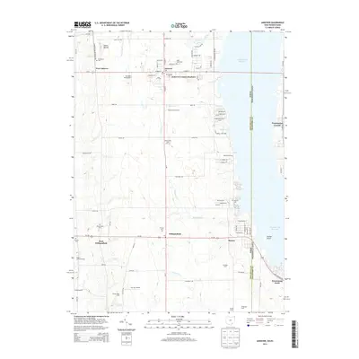
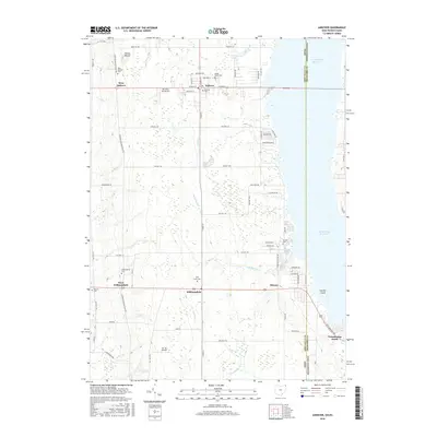
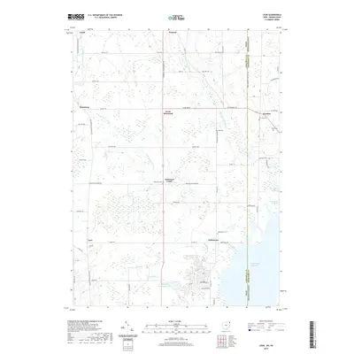
(49)- 2010 Map of Andover, 2010 Print
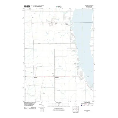 2010 Andover2010 Print · USGSCovers Crawford County, including Williamsfield, Andover, and other nearby areas
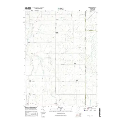
 - 2010 Map of Kinsman, 2010 Print
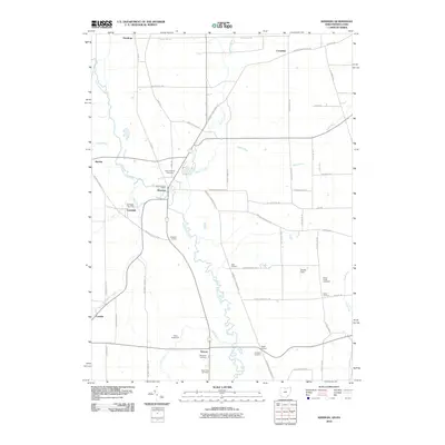 2010 Kinsman2010 Print · USGSCovers Crawford County, including Kinsman Township, Kinsman, and other nearby areas
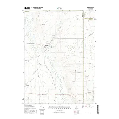
 - 2010 Map of Pierpont, 2010 Print
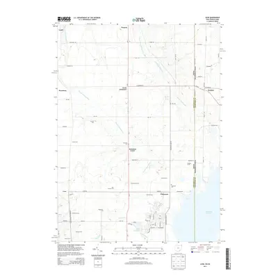
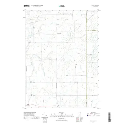
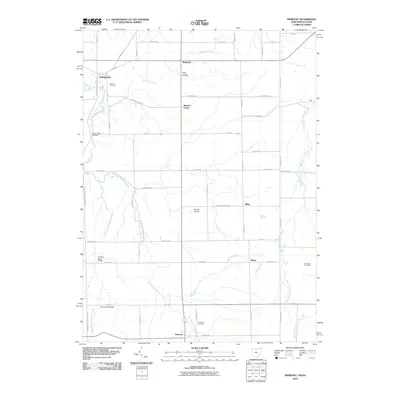 2010 Pierpont2010 Print · USGSCovers Crawford County, including Pierpont, Pierpont Township, and other nearby areas
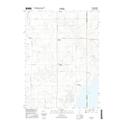
 - 2010 Map of Leon, 2010 Print
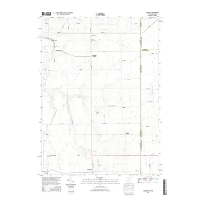
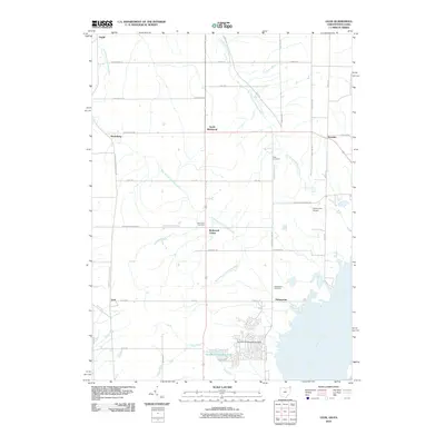 2010 Leon2010 Print · USGSCovers Crawford County, including Pierpont Township, Denmark Township, and other nearby areas
 - 2013 Map of Pierpont, 2013 Print
 2013 Pierpont2013 Print · USGSCovers Crawford County, including Pierpont, Pierpont Township, and other nearby areas
 - 2013 Map of Kinsman, 2013 Print
 2013 Kinsman2013 Print · USGSCovers Crawford County, including Kinsman Township, Kinsman, and other nearby areas
 - 2013 Map of Leon, 2013 Print
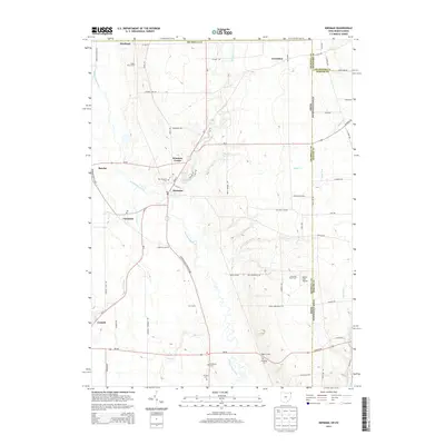
 2013 Leon2013 Print · USGSCovers Crawford County, including Pierpont Township, Denmark Township, and other nearby areas
 - 2013 Map of Andover, 2013 Print
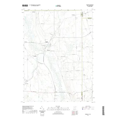
 2013 Andover2013 Print · USGSCovers Crawford County, including Williamsfield, Andover, and other nearby areas
 - 2016 Map of Andover, 2016 Print
 2016 Andover2016 Print · USGSCovers Crawford County, including Williamsfield, Andover, and other nearby areas
 - 2016 Map of Pierpont, 2016 Print
 2016 Pierpont2016 Print · USGSCovers Crawford County, including Pierpont, Pierpont Township, and other nearby areas
 - 2016 Map of Kinsman, 2016 Print
 2016 Kinsman2016 Print · USGSCovers Crawford County, including Kinsman Township, Kinsman, and other nearby areas
 - 2016 Map of Leon, 2016 Print
 2016 Leon2016 Print · USGSCovers Crawford County, including Pierpont Township, Denmark Township, and other nearby areas
 - 2019 Map of Leon, 2019 Print
 2019 Leon2019 Print · USGSCovers Crawford County, including Pierpont Township, Denmark Township, and other nearby areas
 - 2019 Map of Pierpont, 2019 Print
 2019 Pierpont2019 Print · USGSCovers Crawford County, including Pierpont, Pierpont Township, and other nearby areas
 - 2019 Map of Kinsman, 2019 Print
 2019 Kinsman2019 Print · USGSCovers Crawford County, including Kinsman Township, Kinsman, and other nearby areas
 - 2019 Map of Andover, 2019 Print
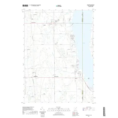 2019 Andover2019 Print · USGSCovers Crawford County, including Williamsfield, Andover, and other nearby areas
 - 2023 Map of Blooming Valley, 2023 Print
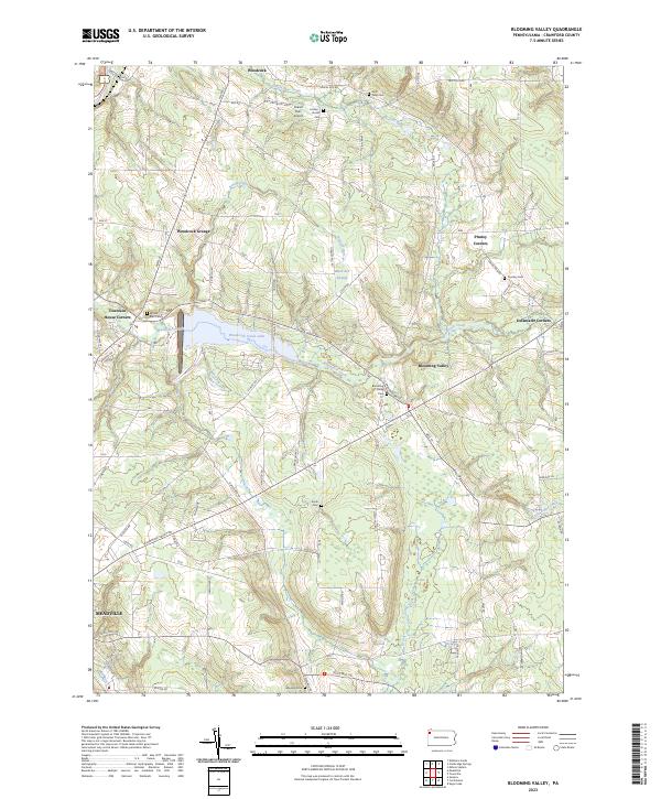 2023 Blooming Valley2023 Print · USGSCrawford County's rural landscape comes into focus in this contemporary survey of the area surrounding Blooming Valley. Researchers can trace family history through numerous burial sites like Wayland Cem or locate community landmarks such as Woodcock Grange.
 - 2023 Map of Cochranton, 2023 Print
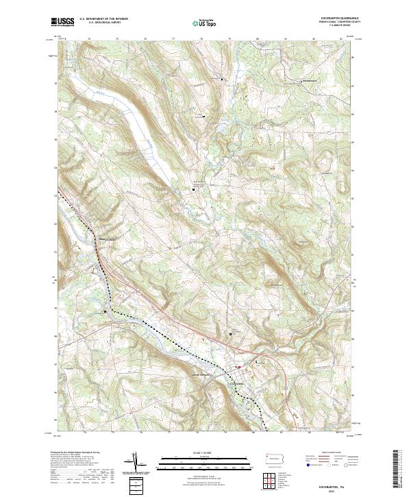 2023 Cochranton2023 Print · USGSCochranton and the surrounding French Creek valley are captured in this contemporary survey of Crawford County. Researchers can trace ancestral roots through numerous local burial grounds including Cochranton Cem and Ewing Cem, or explore the old crossroads at Shaws Corners.
 - 2023 Map of Geneva, 2023 Print
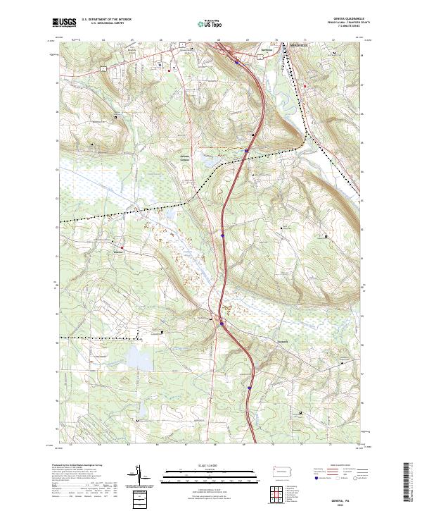 2023 Geneva2023 Print · USGSCrawford County's diverse landscape is documented in this recent survey, from the edge of Meadville down through the expansive Conneaut Marsh. Researchers can locate numerous local landmarks including Port Meadville Airport, Rock Creek Falls, and several family-named burial sites like Mumford Chapel Cem.
 - 2023 Map of Greenville West, 2023 Print
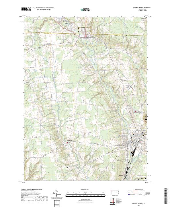 2023 Greenville West2023 Print · USGSWestern Pennsylvania’s river valleys and educational centers are documented here in the early twenty-first century. Researchers can trace the development of Greenville, locate Thiel College, and find family sites at Jerusalem Cem or Park Lawn Cem.
 - 2023 Map of Beaver Center, 2023 Print
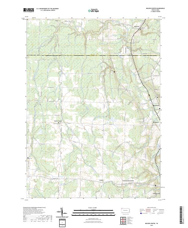 2023 Beaver Center2023 Print · USGSSettled along the creeks of Crawford County, this recent survey captures the rural landscape near Springboro and Beaver Center. Genealogists can locate family landmarks like Saint Sava Cem, Brooks Cem, and Keepville Cem.
 - 2023 Map of Greenville East, 2023 Print
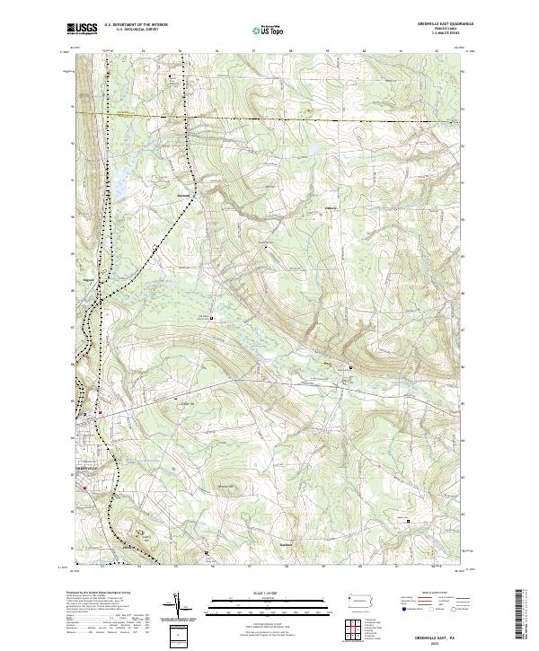 2023 Greenville East2023 Print · USGSWestern Pennsylvania in the early 2020s remains a region shaped by its small rural communities and historic water routes. Researchers can trace ancestral grounds at the Old Salem Church Cem or study the legacy of the Erie Extension Canal as it passes near Kennard and Osgood.
 - 2023 Map of Cambridge Springs, 2023 Print
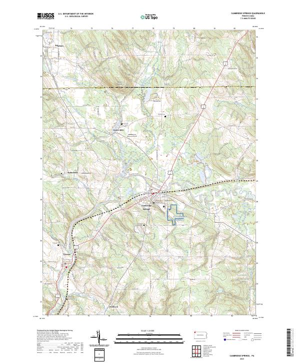 2023 Cambridge Springs2023 Print · USGSNorthwestern Pennsylvania's river valleys and rural crossroads are captured here in the twenty-first century as they continue to evolve. Researchers can trace the layout of longstanding communities like Cambridge Springs and Venango, or locate family sites at Skelton Town Cem and Gravel Run Cem.
 - 2023 Map of Titusville North, 2023 Print
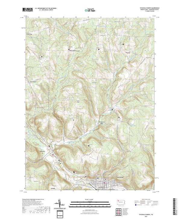 2023 Titusville North2023 Print · USGSTitusville and the surrounding Crawford County highlands are shown here in recent years, centered on the historic Oil Creek valley. Researchers can trace numerous family burial sites and rural settlements like McLaughlin Corners, Hydetown, and the University of Pittsburgh at Titusville.
 - 2023 Map of Centerville, 2023 Print
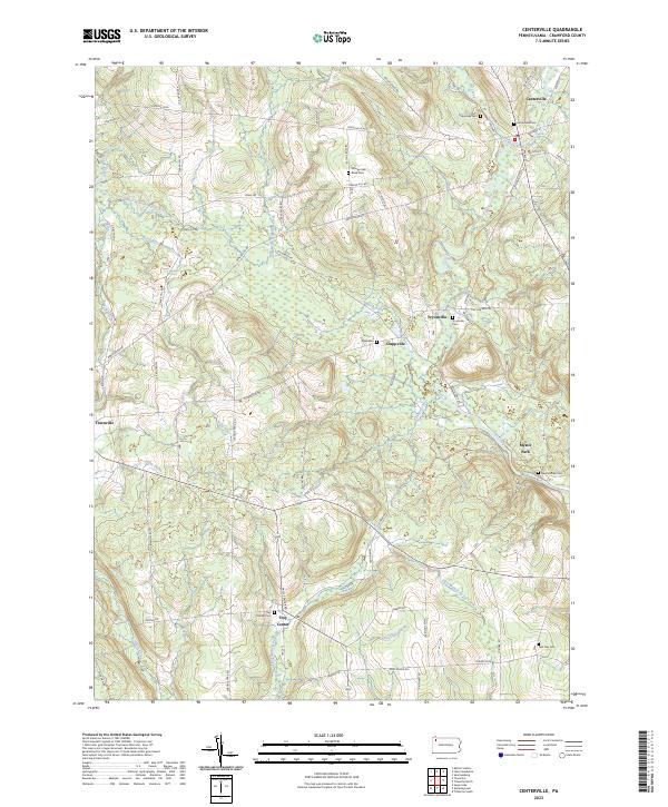 2023 Centerville2023 Print · USGSCrawford County's rural uplands are shown in high detail in the early 2020s, centering on the valley of Oil Creek. Genealogists and historians can trace numerous family burial sites such as Sunnyside Cem and Newtontown Cem along the winding Old Grade Rd.
Showing maps 1-25 of 49
Top cities of Crawford County
- Meadville historical maps
- Titusville historical maps
- Cambridge Springs historical maps
- Spring Township historical maps
- Linesville historical maps
- Cochranton historical maps
See more
Frequently asked questions
- What are the different types of historical maps available for Crawford County?
- What is the oldest map of Crawford County?
- Where can I purchase historical maps of Crawford County for my home or office?
- Where can I download high-res historical maps of Crawford County?
- Are there historical topographic maps available for Crawford County?
- Is there historical aerial imagery available for Crawford County?
- Where are historical maps of Crawford County sourced from?