2000s (21st Century) Maps of Fairfield Township, Pennsylvania
Explore 20 historic maps of Fairfield Township from the 2000s (21st Century). These maps offer a rare glimpse into what life looked like during the 2000s — showing old roads, neighborhoods, homes, and landmarks that have changed or disappeared over time.
Whether you're researching your family's past, planning a metal detecting trip, or studying how Fairfield Township's landscape evolved across the 2000s, these high-resolution maps are a powerful tool for exploring the history of this region.
- Focus on a specific era: All maps on this page are from the 2000s, giving you a focused view of this time period.
- See what’s changed: Compare century-old streets, trails, and buildings to today's modern landscape using overlays and satellite layers.
- Research with precision: Use these maps for genealogy, historical research, land use analysis, or educational projects.
- View, download, or print: Maps are fully viewable online in high resolution, and can be downloaded or printed for your own records.
Start exploring Fairfield Township's history through authentic maps from the 2000s. This is your window into the past.
Fairfield Township, PA maps
(20)- 2010 Map of Cochranton, 2010 Print
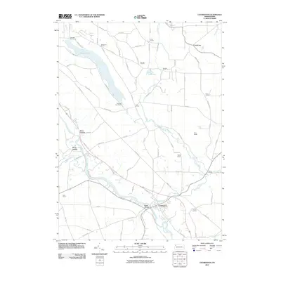 2010 Cochranton2010 Print · USGSThe Crawford County countryside comes into focus at the start of the decade, centered on the river convergence at Cochranton. Genealogists and local historians can trace family-named crossroads like Pettis Corners and Brunot Corners or locate graves at Kiser Hill Cemetery.
- 2010 Map of Geneva, 2010 Print
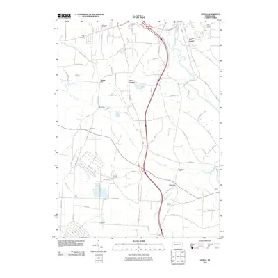 2010 Geneva2010 Print · USGSCrawford County at the start of the 21st century reveals a network of rural hamlets and managed wetlands south of Meadville. Genealogists and local historians can trace family-named sites like Keborts Corners and several historic grounds including Greenwood Cemetery.
- 2010 Map of New Lebanon, 2010 Print
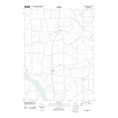 2010 New Lebanon2010 Print · USGSNorthwestern Pennsylvania at the start of the 2010s reveals a landscape of enduring rural villages and managed waterways. Genealogists and local historians can pinpoint family-named sites like Milledgeville Cemetery and Boyd Cemetery, or trace the shores of Lake Wilhelm and French Creek.
- 2010 Map of Hadley, 2010 Print
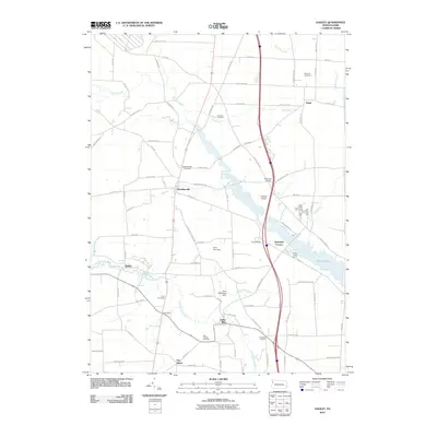 2010 Hadley2010 Print · USGSMercer County's rural character and significant water features are on full display in this 2010 study of the Pennsylvania countryside. Genealogists can locate family landmarks like Sheakleyville Cemetery and Perry Chapel Cemetery, or trace the development of Lake Wilhelm.
- 2013 Map of Cochranton, 2013 Print
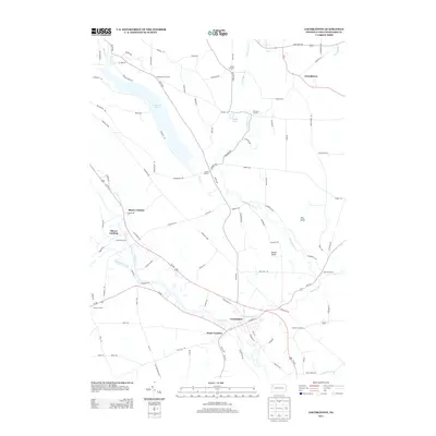 2013 Cochranton2013 Print · USGSCochranton and its surrounding rural hamlets are shown in great detail during the early twenty-first century. Genealogists and local historians can trace family-named crossroads like McNamaras Corners and Kantz Corners or locate the Ponce de Leon Spring.
- 2013 Map of Geneva, 2013 Print
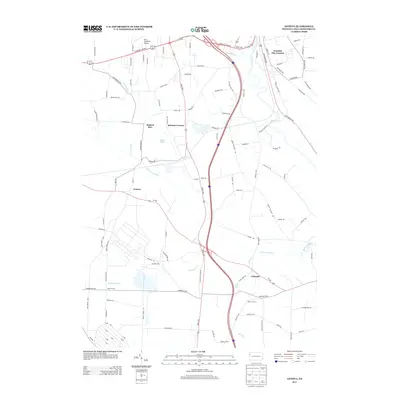 2013 Geneva2013 Print · USGSCrawford County's rural landscapes and crossroads hamlets are captured here in the early twenty-first century. Researchers can trace family ties through long-settled points like Geneva, Custards, and Watson Run, or locate landmarks like Rock Creek Falls.
- 2013 Map of Hadley, 2013 Print
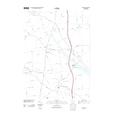 2013 Hadley2013 Print · USGSMercer County at the start of the twenty-teens shows a landscape of established crossroads and productive family lands. Researchers can trace the layout of small boroughs like Sheakleyville and Clarks Mills, or locate specific sites such as Fletcher Airport and Camp Perry.
- 2013 Map of New Lebanon, 2013 Print
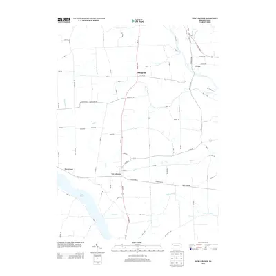 2013 New Lebanon2013 Print · USGSMercer County at the start of the 2010s reveals a landscape of enduring rural crossroads and significant water features. Researchers can trace the boundaries of New Lebanon and New Vernon while locating historical school sites along Urey School Rd and the banks of Lake Wilhelm.
- 2016 Map of New Lebanon, 2016 Print
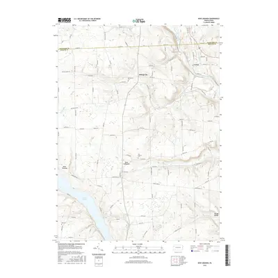 2016 New Lebanon2016 Print · USGSMercer County's rural crossroads and watercourses are preserved here during the mid-2010s. Local researchers can locate family burial plots at Milledgeville Cem and Boyd Cem or trace the shoreline of Lake Wilhelm.
- 2016 Map of Cochranton, 2016 Print
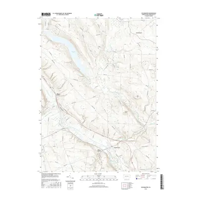 2016 Cochranton2016 Print · USGSCrawford County's river valleys and rural crossroads are captured here in the mid-2010s. Researchers can trace family roots near Cochranton or locate historical sites like Kiser Hill Cem and the Ponce de Leon Spring.
- 2016 Map of Hadley, 2016 Print
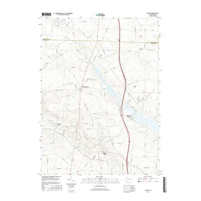 2016 Hadley2016 Print · USGSNorthwestern Pennsylvania's rural landscape is captured here in the mid-2010s, showing the interaction between major water projects and historic crossroads. Genealogists and local historians can locate several family burial grounds like Long Cem and Caldwell Cem near the borough of Sheakleyville.
- 2016 Map of Geneva, 2016 Print
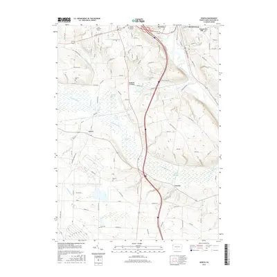 2016 Geneva2016 Print · USGSThe outskirts of Meadville meet the sprawling Conneaut Marsh in the mid-2010s. Researchers can locate family burial sites at Roselawn Memorial Gardens and Greenwood Cem while tracing the rural road networks around Geneva and Custards.
- 2019 Map of Cochranton, 2019 Print
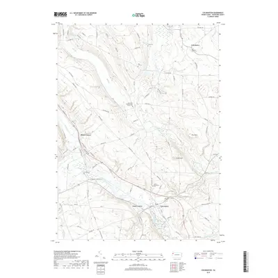 2019 Cochranton2019 Print · USGSCochranton and the surrounding Crawford County hills are documented here in the late twenty-teens, showing a landscape defined by creek valleys and rural crossroads. Genealogists can locate several family and church burial sites including Smith Rockafellow Cem and Kiser Hill Cem along the winding Franklin Pike.
- 2019 Map of Geneva, 2019 Print
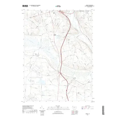 2019 Geneva2019 Print · USGSCrawford County at the end of the 2010s shows a landscape shaped by the Conneaut Marsh and the southern outskirts of Meadville. Researchers can locate many small burial sites including Saint Johns Cem, Watson Run Cem, and the settlement of Geneva.
- 2019 Map of Hadley, 2019 Print
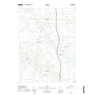 2019 Hadley2019 Print · USGSNew Vernon Township and the surrounding Mercer County countryside are documented here in the late 2010s. Researchers can locate numerous family burial grounds like Peterson Cem and Maple Grove Cem, or trace the waters of Lake Wilhelm and the Little Shenango River.
- 2019 Map of New Lebanon, 2019 Print
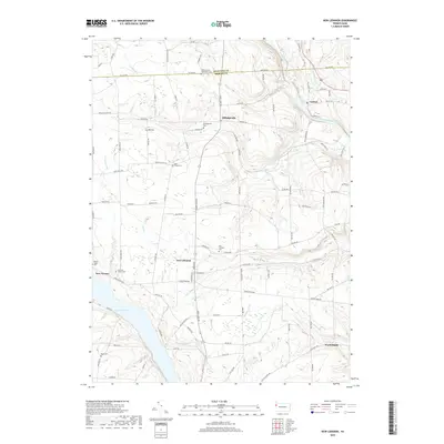 2019 New Lebanon2019 Print · USGSWestern Pennsylvania's rural landscape is captured here in the late twenty-tens, showing the quiet crossroads of Mercer and Crawford counties. Genealogists can locate several historic burial sites, including Fairfield Church Cem, Bell Cem, and the Pleasantview Mennonite Cem.
- 2023 Map of Cochranton, 2023 Print
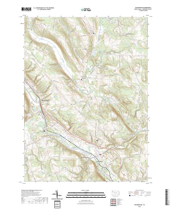 2023 Cochranton2023 Print · USGSCochranton and the surrounding French Creek valley are captured in this contemporary survey of Crawford County. Researchers can trace ancestral roots through numerous local burial grounds including Cochranton Cem and Ewing Cem, or explore the old crossroads at Shaws Corners.
- 2023 Map of Geneva, 2023 Print
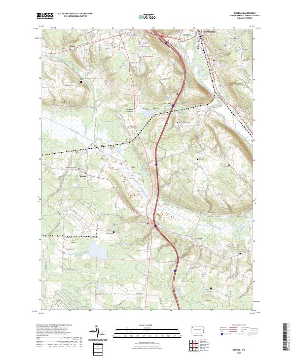 2023 Geneva2023 Print · USGSCrawford County's diverse landscape is documented in this recent survey, from the edge of Meadville down through the expansive Conneaut Marsh. Researchers can locate numerous local landmarks including Port Meadville Airport, Rock Creek Falls, and several family-named burial sites like Mumford Chapel Cem.
- 2023 Map of Hadley, 2023 Print
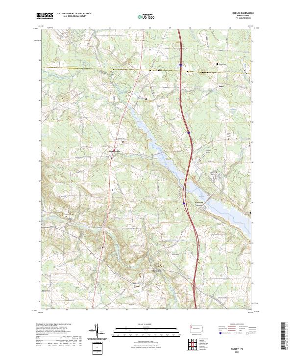 2023 Hadley2023 Print · USGSThe area around Sheakleyville and Hadley is documented here in the early twenty-first century, featuring the expansive waters of Lake Wilhelm. Genealogists can trace local roots at Sheakleyville Cem, Hadley Cem, and Mount Hope Cem.
- 2023 Map of New Lebanon, 2023 Print
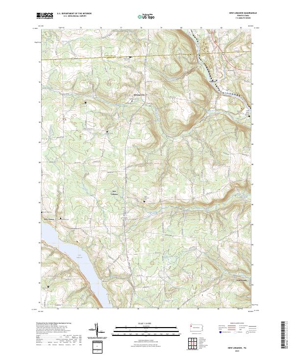 2023 New Lebanon2023 Print · USGSThe rural countryside of Mercer and Crawford counties comes into focus in the early 2020s, revealing a landscape of established family farms and quiet crossroads. Researchers can trace the layout of local burial grounds and settlements from Milledgeville to the banks of Lake Wilhelm and French Creek.
End of results
Showing maps 1-20 of 20
Top cities near Fairfield Township
- Meadville historical maps
- Sugarcreek historical maps
- Cochranton historical maps
- Fairview Township historical maps
- Saegertown historical maps
- Sandy Lake historical maps
See more
Top neighborhoods of Fairfield Township
Frequently asked questions
- What are the different types of historical maps available for Fairfield Township?
- What is the oldest map of Fairfield Township?
- Where can I purchase historical maps of Fairfield Township for my home or office?
- Where can I download high-res historical maps of Fairfield Township?
- Are there historical topographic maps available for Fairfield Township?
- Is there historical aerial imagery available for Fairfield Township?
- Where are historical maps of Fairfield Township sourced from?