Old Maps of Jackson Township, Pennsylvania for Genealogy
Trace your family roots with 69 historic maps of Jackson Township. These high-res maps reveal old neighborhoods, homesites, landmarks, and streets — helping you uncover where your ancestors lived and how the area evolved over time.
- Explore historic neighborhoods: Identify where your relatives may have lived in the 1800s or 1900s.
- Compare maps over time: Trace the changes in streets, buildings, and landmarks for multi-generational research.
- Perfect for genealogy & ancestry research: Used by family historians and researchers to map out lineage and migration.
These maps are an incredible resource for exploring your personal connection to Jackson Township's past.
Jackson Township, PA maps
(69)- 1892 Map of Lykens
 1892 Lykens1892 Print · USGSDauphin and Schuylkill counties are shown here in the late nineteenth century as the coal and rail industries shaped the valley floors. Genealogists can trace family roots in mining centers like Williamstown and Lykens or agricultural hamlets such as Rough and Ready.2 unique versions available
 - 1892 Map of Harrisburg
 1892 Harrisburg1892 Print · USGSThe Pennsylvania capital and the Susquehanna River corridor are captured here in the 1890s, revealing a landscape of mountain gaps and canal-era infrastructure. Genealogists can trace family roots through settlements like Wormleysburg, Linglestown, and the grounds of the State Lunatic Asylum.2 unique versions available
 - 1893 Map of Lykens
 1893 Lykens1893 Print · USGSThe anthracite coal region of central Pennsylvania comes to life in the late nineteenth century, showing a landscape defined by mountain ridges and mining railways. Local historians can trace the early industrial footprints of Williamstown and Lykens or find rural homesteads near Klingerstown and Leck Kill.7 unique versions available
 - 1893 Map of Millersburg
 1893 Millersburg1893 Print · USGSThe Susquehanna River valley in the 1890s shows a landscape shaped by competing transport systems and mountain ridges. Trace the path of the Pennsylvania Canal through Liverpool or locate family roots in Millersburg and Elizabethville.7 unique versions available
 - 1899 Map of Harrisburg
 1899 Harrisburg1899 Print · USGSHarrisburg and the Susquehanna River valley are captured here in the 1890s as the railroad era reached its height alongside older waterways. Genealogists and historians can trace the paths of the Pennsylvania Canal and find local landmarks like Heckton Mills and the State Lunatic Asylum.15 unique versions available
 - 1924 Map of Harrisburg
 1924 Harrisburg1924 Print · USGSThe Susquehanna River corridor at the state capital reveals a landscape of industrial river gaps and ridge-line valleys in the 1920s. Genealogists and historians can trace the paths of the Pennsylvania Canal and find landmarks like the State Lunatic Asylum and Fort Hunter.
 - 1943 Map of Millersburg
 1943 Millersburg1943 Print · USGSDauphin and Northumberland counties appear here during the mid-1940s, defined by the river-and-rail economy along the Susquehanna River. Researchers can trace the heritage of small valley towns through landmarks like St Johns Church, Morning Glory School, and the Limestone Quarries.
 - 1943 Map of Lykens
 1943 Lykens1943 Print · USGSDauphin and Schuylkill counties are shown in the 1940s as a high-density corridor of anthracite coal production and valley farming. Genealogists and industrial historians can trace the Reading rail lines connecting Williamstown to an Abandoned Colliery and rural landmarks like Himmels Ch.
 - 1943 Map of Harrisburg
 1943 Harrisburg1943 Print · USGSThe Pennsylvania capital and its surrounding Susquehanna riverfront are seen here during the war years. Researchers can trace the extensive rail networks and find local landmarks like Fort Hunter, Good Hope Mills, and Wenrichs Ch.3 unique versions available
 - 1947 Map of Elizabethville
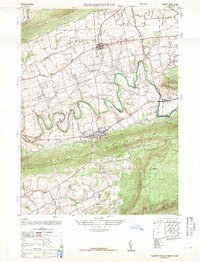 1947 Elizabethville1947 Print · USGSPost-war Dauphin County unfolds across the Lykens Valley in this mid-century survey of rural townships and mountain ridges. Genealogists can trace family roots through numerous local landmarks like Maple Grove Cem, Straw Church & Cem, and the Pennsylvania RR corridor.2 unique versions available
 - 1947 Map of Enders
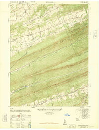 1947 Enders1947 Print · USGSDauphin County’s ridge-and-valley landscape is captured here in the years immediately following the war, showing the tight-knit rural communities between the mountains. Genealogists can locate specific landmarks like Bowermans Church, Carsonville School, and rail stops including Ellendale Forge Station.2 unique versions available
 - 1947 Map of Halifax
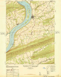 1947 Halifax1947 Print · USGSThe Susquehanna River valley emerges in the post-war era as a landscape of mountain ridges and fertile river islands. Genealogists can locate family landmarks like Jacobs Church, the Shamokin School, and old riverside settlements from New Buffalo to Speeceville.3 unique versions available
 - 1947 Map of Millersburg
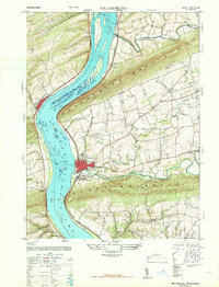 1947 Millersburg1947 Print · USGSThe Susquehanna River valley and the ridges of Central Pennsylvania are captured here just after the war. Local historians can trace family sites like Killinger School, navigate the Millersburg Ferry, and locate old river crossings such as Montgomery Ferry.2 unique versions available
 - 1947 Map of Lykens
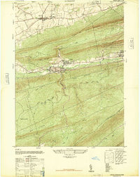 1947 Lykens1947 Print · USGSDauphin County’s northern coal valleys are captured here in the late 1940s, showing the industrial pulse of the region between massive mountain ridges. Researchers can trace the rail spurs of the Reading line and locate landmarks like the Anthracite Plant, Salladas School, and the County Fair Grounds.3 unique versions available
 - 1947 Map of Tower City
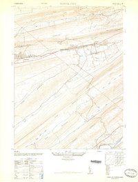 1947 Tower City1947 Print · USGSThe anthracite coal valleys of Schuylkill and Dauphin Counties are captured here in the late 1940s. Genealogists and historians can trace family locations in Tower City and Williamstown, or locate landmarks like the Porter Township High School and the Union Church.3 unique versions available
 - 1950 Map of Harrisburg, 1952 Print
 1950 Harrisburg1952 Print · USGSMid-century Central Pennsylvania comes alive through its dense rail networks and river valley settlements during the post-war industrial era. Genealogists and historians can trace family roots through hubs like Harrisburg, locate Carlisle Barracks, or follow the Pennsylvania RR through the Lebanon Valley.
 - 1953 Map of Millersburg, 1956 Print
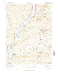 1953 Millersburg1956 Print · USGSCentral Pennsylvania's river valleys and mountain ridges are captured here during the early fifties, showing a landscape defined by the Susquehanna River. Researchers can locate vanished landmarks like the Abandoned Canal, the Oakdale Sta, and numerous country schools including Keiters Sch.3 unique versions available
 - 1955 Map of Lykens, 1958 Print
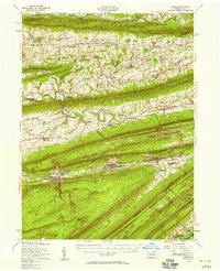 1955 Lykens1958 Print · USGSThe anthracite coal valleys of Dauphin and Schuylkill counties are shown here in the mid-1950s, a time of transition for the region's industrial landscape. Genealogists can trace family roots through numerous country landmarks like Himmels Ch, Kissingers Sch, and the Pitman Post Office.2 unique versions available
 - 1956 Map of Harrisburg, 1958 Print
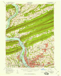 1956 Harrisburg1958 Print · USGSThe Pennsylvania state capital and its surrounding mountain gaps are captured here in the mid-1950s as suburban expansion met the Susquehanna's industrial riverfront. Trace the path of the Stony Creek Railroad or locate family roots at Good Hope Mills and the Rutter Sch.6 unique versions available
 - 1957 Map of Harrisburg
 1957 Harrisburg1957 Print · USGSMid-century Central Pennsylvania comes into focus as a bustling network of rail, river, and mountain ridges. Genealogists and historians can trace the development of the State Capitol and surrounding hubs like Middletown, Columbia, and Pottsville.7 unique versions available
 - 1961 Map of Harrisburg
 1961 Harrisburg1961 Print · USGSCentral Pennsylvania is shown at a mid-century peak of industrial and military activity, from the Susquehanna water gaps to the fertile Dutch Country. Genealogists and historians can trace the rail corridors of the Pennsylvania RR and find landmarks like Carlisle Barracks or the Anthracite Coal Fields.2 unique versions available
 - 1964 Map of Harrisburg
 1964 Harrisburg1964 Print · USGSCentral Pennsylvania in the mid-fifties reveals a landscape shaped by ridge-and-valley geology and critical Cold War infrastructure. Researchers can trace the massive Indiantown Gap Military Reservation or the rail corridors of the Pennsylvania RR and Reading RR.
 - 1968 Map of Tower City
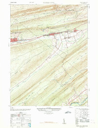 1968 Tower City1968 Print · USGSThe anthracite region's industrial footprint is on full display here in the late sixties, where valley towns are hemmed in by massive mountain ridges. Genealogists and historians can trace the foundations of Tower City and Williamstown alongside an Abandoned Coal Breaker and several local schools.
 - 1969 Map of Halifax, 1972 Print
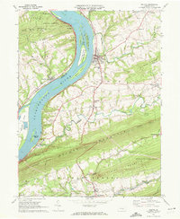 1969 Halifax1972 Print · USGSThe Susquehanna River corridor at the end of the 1960s reveals a landscape of river-crossing settlements and mountain ridges. Trace the river economy and rail routes through Halifax, or locate family sites like Victoria Furnace and Fetterhoff Ch.2 unique versions available
 - 1969 Map of Lykens, 1972 Print
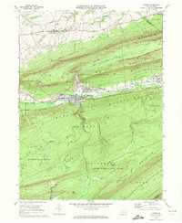 1969 Lykens1972 Print · USGSDauphin County coal country comes into sharp focus during the late sixties as industry and local recreation overlap. Researchers can trace the Penn Central rail corridor and find family sites at Fairview Cem or the Williams Valley Sch.4 unique versions available
Showing maps 1-25 of 69
Top cities near Jackson Township
- Harrisburg historical maps
- Colonial Park historical maps
- Hershey historical maps
- Palmyra historical maps
- Linglestown historical maps
- Enola historical maps
See more
Top neighborhoods of Jackson Township
Frequently asked questions
- What are the different types of historical maps available for Jackson Township?
- What is the oldest map of Jackson Township?
- Where can I purchase historical maps of Jackson Township for my home or office?
- Where can I download high-res historical maps of Jackson Township?
- Are there historical topographic maps available for Jackson Township?
- Is there historical aerial imagery available for Jackson Township?
- Where are historical maps of Jackson Township sourced from?