Old Maps of Union Township, Pennsylvania for Academic Research
Study the evolution of Union Township with 31 high-resolution historic maps. Whether you're teaching, researching, or modeling changes in land use, these maps provide essential visual documentation of urban, environmental, and geographic change.
- Analyze long-term change: Track patterns in development, transportation, and natural features.
- Ideal for environmental or urban studies: Support academic projects with primary historical map data.
- Use in the classroom or lab: Educators and researchers rely on these maps to bring historical context to life.
These maps are a powerful tool for teaching, research, and visualizing how Union Township has changed over the decades.
Union Township, PA maps
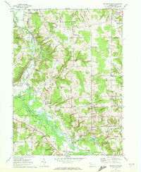
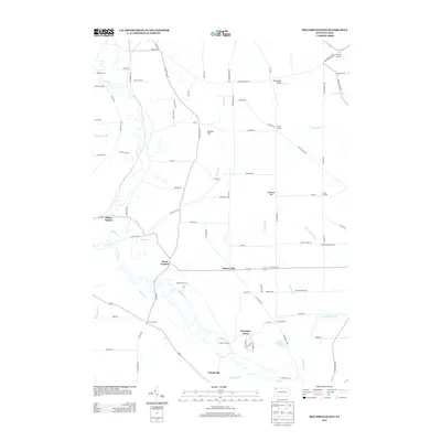
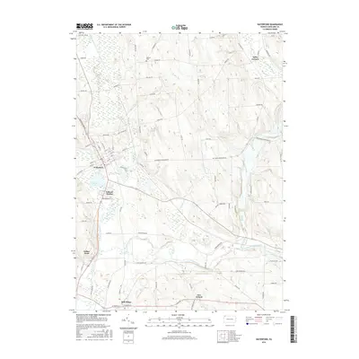
(31)- 1929 Map of Union City, 1961 Print
 1929 Union City1961 Print · USGSNorthwestern Pennsylvania in the late twenties remains a landscape of busy rail junctions and crossroads hamlets like Wattsburg and Union City. Genealogists can trace family footprints across dozens of local landmarks, including the Cottage Hill Ch, Barton Sch, and Tillotson Corners.
 - 1932 Map of Union City
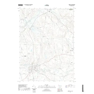
 1932 Union City1932 Print · USGSNorthwestern Pennsylvania at the dawn of the 1930s reveals a landscape of thriving rail junctions and rural crossroads. Genealogists can trace family landmarks and forgotten hamlets such as Riceville, Mill Village, and the many one-room schools like Bonnell Sch.3 unique versions available
 - 1957 Map of Warren, 1964 Print
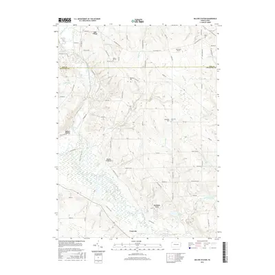
 1957 Warren1964 Print · USGSThe northern Pennsylvania oil and timber country comes into focus in the mid-fifties, showing the region before modern highway expansions. Trace the industrial rail networks of the Pennsylvania RR and the early Allegheny River Reservoir near Warren and Oil City.4 unique versions available
 - 1958 Map of Warren
 1958 Warren1958 Print · USGSNorthern Pennsylvania’s timber and oil country is captured here during the late fifties, showing the interplay of industrial valleys and vast state forests. Genealogists can trace family connections across the Cornplanter Indian Reservation or through rail hubs like Oil City and Saint Marys.
 - 1959 Map of Warren
 1959 Warren1959 Print · USGSNorthern Pennsylvania's oil and timber country comes alive in this late-fifties study of the forest-clad plateaus. Trace the historic Cornplanter (Indian Reservation), the sprawling Oil Field, and the rail lines of the Pennsylvania RR.2 unique versions available
 - 1967 Map of Millers Station, 1972 Print
 1967 Millers Station1972 Print · USGSNorthwestern Pennsylvania's rural landscape is captured here in the late sixties, showcasing the transit corridor between Crawford and Erie counties. Genealogists and historians can trace family-named crossroads like Jervis Corners or locate Mackey Hill Cem and the Erie-Lackawanna rail line.3 unique versions available
 - 1967 Map of Lake Canadohta, 1972 Print
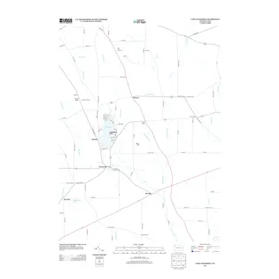
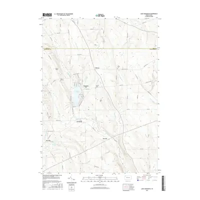
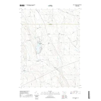
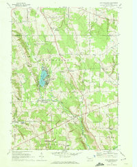 1967 Lake Canadohta1972 Print · USGSCrawford County recreation and rural life meet in the late sixties, centered on the developed shores of Lake Canadohta. Researchers can trace old transportation routes like the Old West Railroad Grade or locate family sites at the Bloomfield Burying Ground and Riceville.3 unique versions available
 - 1967 Map of Waterford, 1973 Print
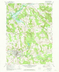
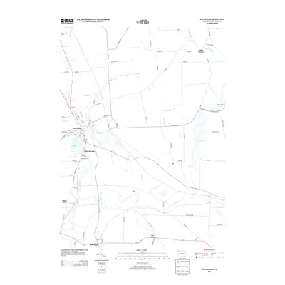
 1967 Waterford1973 Print · USGSErie County's southern valleys come into focus in the 1960s, showing a landscape of rail corridors and small rural hamlets. Local historians can trace family-named roads and landmarks from the Covered Bridge near Waterford to the tracks of the Penn Central and Erie-Lackawanna railroads.3 unique versions available
 - 1968 Map of Union City, 1973 Print
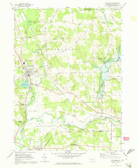
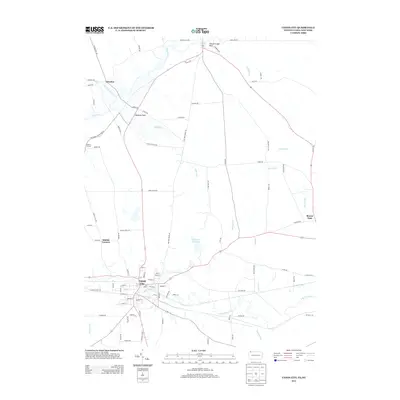
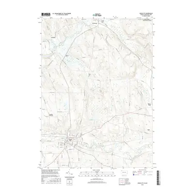
 1968 Union City1973 Print · USGSUnion City and its surrounding rural townships thrive during the late sixties as a crossroads of the Penn Central and Erie-Lackawanna railroads. Local historians can trace family-named landmarks like Kimble Corners and Arbuckle or locate the Evergreen Cem and St Teresa Ch.3 unique versions available
 - 1971 Map of Warren
 1971 Warren1971 Print · USGSNorth Central Pennsylvania is captured here in the early seventies, showing a landscape defined by industrial centers and massive state forests. Genealogists and historians can trace the rail lines of the Penn Central and Erie Lackawanna connecting towns like Warren, Kane, and Du Bois.
 - 1983 Map of Warren, 1984 Print
 1983 Warren1984 Print · USGSNorthwestern Pennsylvania at the dawn of the 1980s reveals a landscape defined by the petroleum industry and expansive public lands. Trace the legacy of early oil at Drake Well Memorial Park and Pithole City Historical Site, or locate family sites near Warren State Hospital and Kellettville.
 - 2010 Map of Lake Canadohta, 2010 Print
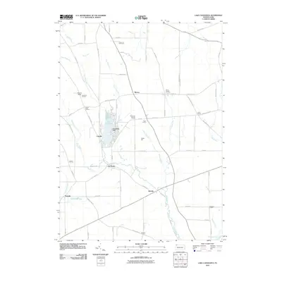 2010 Lake Canadohta2010 Print · USGSCovers Union Township, including Clements Corners, Brimstone Corners, and other nearby areas
 - 2010 Map of Millers Station, 2010 Print
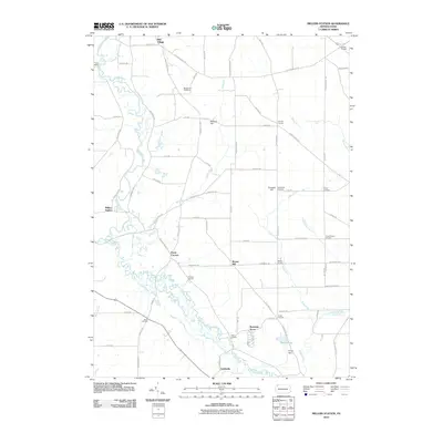 2010 Millers Station2010 Print · USGSCovers Union Township, including Richmond Township, Ferris Corners, and other nearby areas
 - 2010 Map of Waterford, 2010 Print
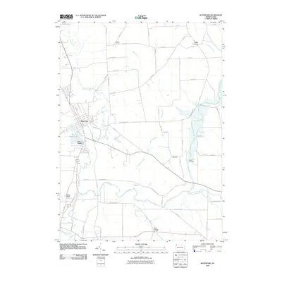 2010 Waterford2010 Print · USGSCovers Union Township, including Waterford, Mill Village, and other nearby areas
 - 2010 Map of Union City, 2010 Print
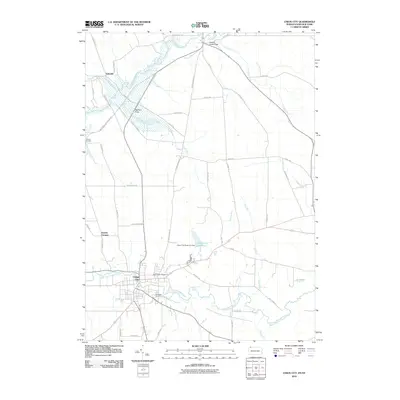 2010 Union City2010 Print · USGSCovers Union Township, including Union City, French Creek, and other nearby areas
 - 2013 Map of Millers Station, 2013 Print
 2013 Millers Station2013 Print · USGSCovers Union Township, including Richmond Township, Ferris Corners, and other nearby areas
 - 2013 Map of Lake Canadohta, 2013 Print
 2013 Lake Canadohta2013 Print · USGSCovers Union Township, including Clements Corners, Brimstone Corners, and other nearby areas
 - 2013 Map of Union City, 2013 Print
 2013 Union City2013 Print · USGSCovers Union Township, including Union City, French Creek, and other nearby areas
 - 2013 Map of Waterford, 2013 Print
 2013 Waterford2013 Print · USGSCovers Union Township, including Waterford, Mill Village, and other nearby areas
 - 2016 Map of Waterford, 2016 Print
 2016 Waterford2016 Print · USGSCovers Union Township, including Waterford, Mill Village, and other nearby areas
 - 2016 Map of Millers Station, 2016 Print
 2016 Millers Station2016 Print · USGSCovers Union Township, including Richmond Township, Ferris Corners, and other nearby areas
 - 2016 Map of Union City, 2016 Print
 2016 Union City2016 Print · USGSCovers Union Township, including Union City, French Creek, and other nearby areas
 - 2016 Map of Lake Canadohta, 2016 Print
 2016 Lake Canadohta2016 Print · USGSCovers Union Township, including Clements Corners, Brimstone Corners, and other nearby areas
 - 2019 Map of Lake Canadohta, 2019 Print
 2019 Lake Canadohta2019 Print · USGSCovers Union Township, including Clements Corners, Brimstone Corners, and other nearby areas
 - 2019 Map of Union City, 2019 Print
 2019 Union City2019 Print · USGSCovers Union Township, including Union City, French Creek, and other nearby areas
Showing maps 1-25 of 31
Top cities near Union Township
- Erie historical maps
- Harborcreek Township historical maps
- Corry historical maps
- Union City historical maps
- Columbus historical maps
- Clymer historical maps
See more
Top neighborhoods of Union Township
Frequently asked questions
- What are the different types of historical maps available for Union Township?
- What is the oldest map of Union Township?
- Where can I purchase historical maps of Union Township for my home or office?
- Where can I download high-res historical maps of Union Township?
- Are there historical topographic maps available for Union Township?
- Is there historical aerial imagery available for Union Township?
- Where are historical maps of Union Township sourced from?