2000s (21st Century) Maps of Union Township, Pennsylvania
Explore 20 historic maps of Union Township from the 2000s (21st Century). These maps offer a rare glimpse into what life looked like during the 2000s — showing old roads, neighborhoods, homes, and landmarks that have changed or disappeared over time.
Whether you're researching your family's past, planning a metal detecting trip, or studying how Union Township's landscape evolved across the 2000s, these high-resolution maps are a powerful tool for exploring the history of this region.
- Focus on a specific era: All maps on this page are from the 2000s, giving you a focused view of this time period.
- See what’s changed: Compare century-old streets, trails, and buildings to today's modern landscape using overlays and satellite layers.
- Research with precision: Use these maps for genealogy, historical research, land use analysis, or educational projects.
- View, download, or print: Maps are fully viewable online in high resolution, and can be downloaded or printed for your own records.
Start exploring Union Township's history through authentic maps from the 2000s. This is your window into the past.
Union Township, PA maps
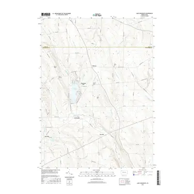
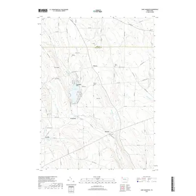
(20)- 2010 Map of Lake Canadohta, 2010 Print
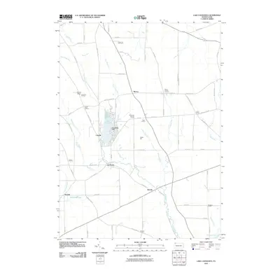 2010 Lake Canadohta2010 Print · USGSCovers Union Township, including Clements Corners, Brimstone Corners, and other nearby areas
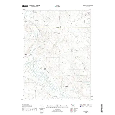
 - 2010 Map of Millers Station, 2010 Print
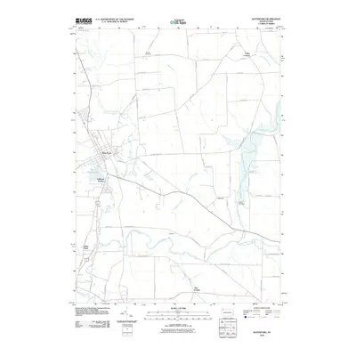
 2010 Millers Station2010 Print · USGSCovers Union Township, including Richmond Township, Ferris Corners, and other nearby areas
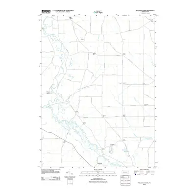
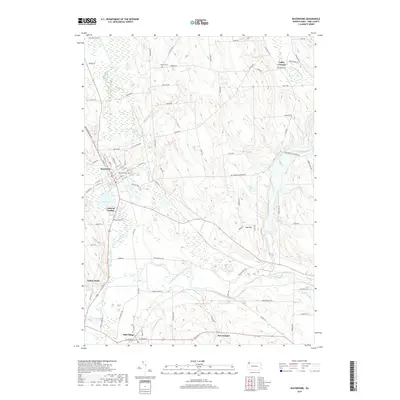
 - 2010 Map of Waterford, 2010 Print
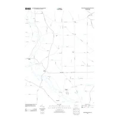
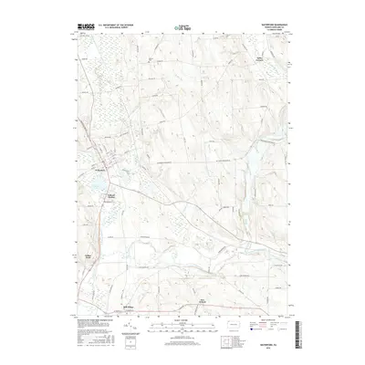
 2010 Waterford2010 Print · USGSCovers Union Township, including Waterford, Mill Village, and other nearby areas
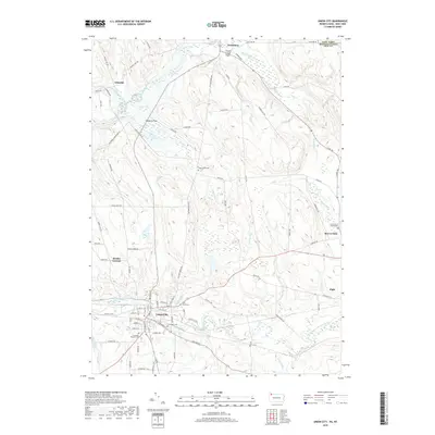
 - 2010 Map of Union City, 2010 Print
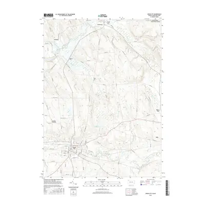
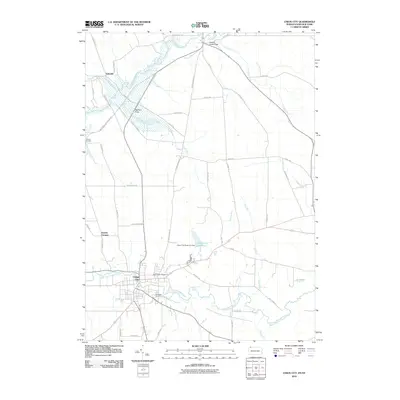 2010 Union City2010 Print · USGSCovers Union Township, including Union City, French Creek, and other nearby areas
 - 2013 Map of Millers Station, 2013 Print
 2013 Millers Station2013 Print · USGSCovers Union Township, including Richmond Township, Ferris Corners, and other nearby areas
 - 2013 Map of Lake Canadohta, 2013 Print
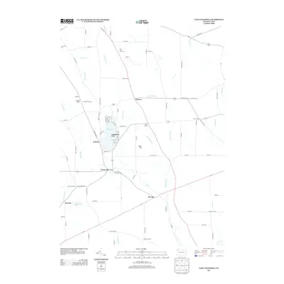 2013 Lake Canadohta2013 Print · USGSCovers Union Township, including Clements Corners, Brimstone Corners, and other nearby areas
 - 2013 Map of Union City, 2013 Print
 2013 Union City2013 Print · USGSCovers Union Township, including Union City, French Creek, and other nearby areas
 - 2013 Map of Waterford, 2013 Print
 2013 Waterford2013 Print · USGSCovers Union Township, including Waterford, Mill Village, and other nearby areas
 - 2016 Map of Waterford, 2016 Print
 2016 Waterford2016 Print · USGSCovers Union Township, including Waterford, Mill Village, and other nearby areas
 - 2016 Map of Millers Station, 2016 Print
 2016 Millers Station2016 Print · USGSCovers Union Township, including Richmond Township, Ferris Corners, and other nearby areas
 - 2016 Map of Union City, 2016 Print
 2016 Union City2016 Print · USGSCovers Union Township, including Union City, French Creek, and other nearby areas
 - 2016 Map of Lake Canadohta, 2016 Print
 2016 Lake Canadohta2016 Print · USGSCovers Union Township, including Clements Corners, Brimstone Corners, and other nearby areas
 - 2019 Map of Lake Canadohta, 2019 Print
 2019 Lake Canadohta2019 Print · USGSCovers Union Township, including Clements Corners, Brimstone Corners, and other nearby areas
 - 2019 Map of Union City, 2019 Print
 2019 Union City2019 Print · USGSCovers Union Township, including Union City, French Creek, and other nearby areas
 - 2019 Map of Waterford, 2019 Print
 2019 Waterford2019 Print · USGSCovers Union Township, including Waterford, Mill Village, and other nearby areas
 - 2019 Map of Millers Station, 2019 Print
 2019 Millers Station2019 Print · USGSCovers Union Township, including Richmond Township, Ferris Corners, and other nearby areas
 - 2023 Map of Waterford, 2023 Print
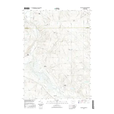
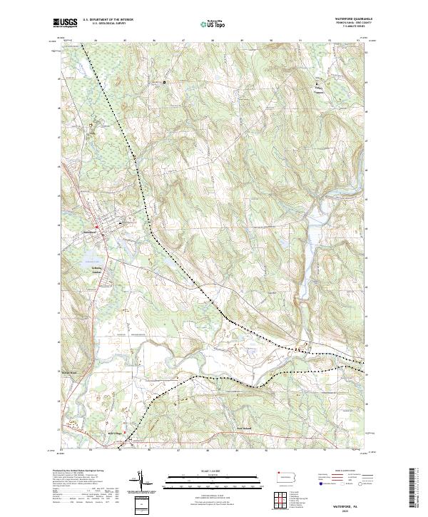 2023 Waterford2023 Print · USGSThe Erie County landscape around Waterford shows a detailed network of historic settlements and waterways in this recent survey. Researchers can locate Waterford Cemetery, trace the Norfolk Southern rail line, and explore smaller locales like Mill Village and New Ireland.
 - 2023 Map of Millers Station, 2023 Print
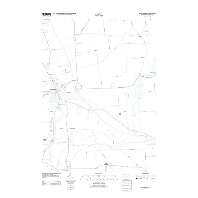
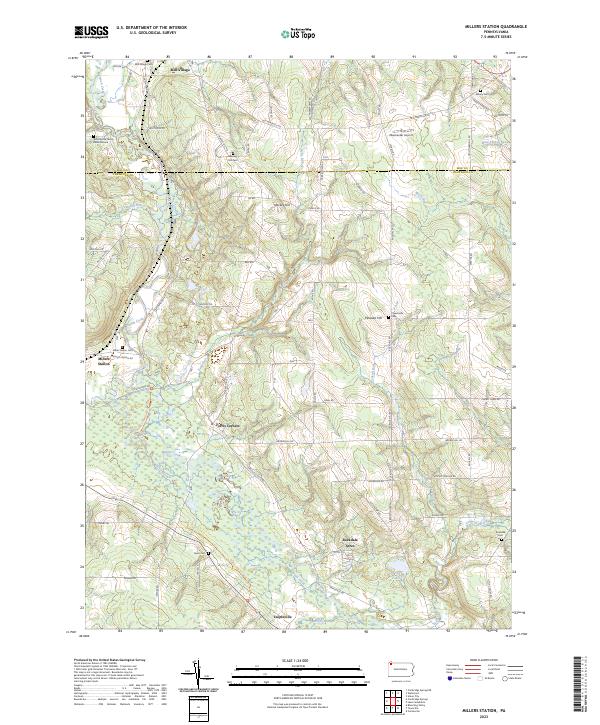 2023 Millers Station2023 Print · USGSThe Erie and Crawford county line comes alive in this recent survey of the Pennsylvania countryside near Mill Village. Genealogists can trace family heritage through local landmarks like the Waterhouse Family Burial Ground, Asbury Cem, and Millers Station.
 - 2023 Map of Lake Canadohta, 2023 Print
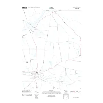
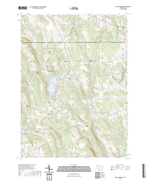 2023 Lake Canadohta2023 Print · USGSNorthwestern Pennsylvania's Crawford County lake country comes into focus in this recent survey, featuring the waters of Lake Canadohta. Genealogists and historians can trace numerous burial sites including Bloomfield Burying Ground and Riceville Cem, alongside the village of Lincolnville.
 - 2023 Map of Union City, 2023 Print
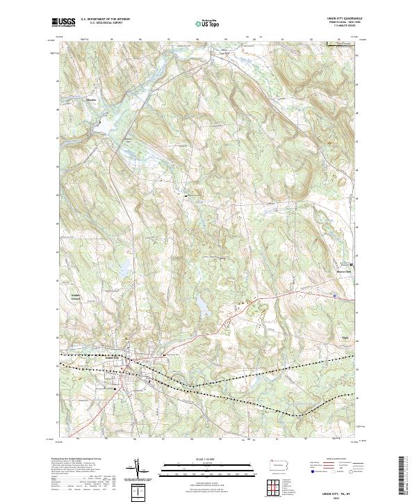 2023 Union City2023 Print · USGSThe Erie County countryside near Union City comes into focus in this contemporary survey of the Pennsylvania-New York borderlands. Researchers can locate several burial sites including Thompson Pioneer Cem and Lawn Cem of Beaverdam, alongside rural settlements like Elgin and Arbuckle.
End of results
Showing maps 1-20 of 20
Top cities near Union Township
- Erie historical maps
- Harborcreek Township historical maps
- Corry historical maps
- Union City historical maps
- Columbus historical maps
- Clymer historical maps
See more
Top neighborhoods of Union Township
Frequently asked questions
- What are the different types of historical maps available for Union Township?
- What is the oldest map of Union Township?
- Where can I purchase historical maps of Union Township for my home or office?
- Where can I download high-res historical maps of Union Township?
- Are there historical topographic maps available for Union Township?
- Is there historical aerial imagery available for Union Township?
- Where are historical maps of Union Township sourced from?