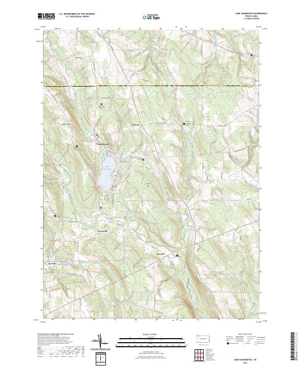
2023 Map of Lake Canadohta
USGS Topo · Published 2023About this map
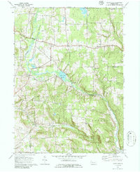
Lake Canadohta serves as the central focal point for this section of the Crawford and Erie county line, where recreational waters meet the agricultural uplands of northwestern Pennsylvania. The village of Riceville sits in the southeast along Oil Creek, while other small crossroads settlements like Lincolnville, Tillotson, and Rootville anchor the surrounding rural landscape. This area is notably dense with small family and community burial sites, such as the Blakeslee Family Cem, Bloomfield Burying Ground, and Shreve Ridge Cem, which provide significant genealogical data for researchers of the region's early families.
Find a feature on this map
80 named features on this map. Tap any name to fly to it.
Don’t see what you’re looking for? This feature index may not catch every label — zoom into the map to look around manually.
Map Details
Editions of this 2023 Lake Canadohta Map
This is the sole edition of this map. No revisions or reprints were ever made.
Historical Maps of Union Township Through Time
14 maps found
1959 Beaver Center
Crawford County, PA
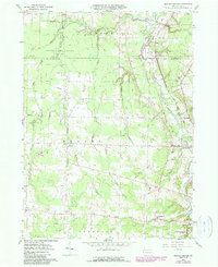
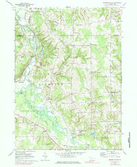
1967 Centerville
Crawford County, PA
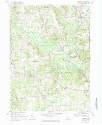
1967 Lake Canadohta
Crawford County, PA
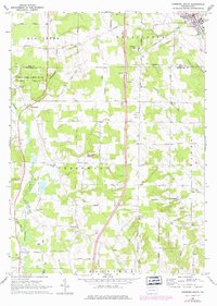
1967 Millers Station
Crawford County, PA
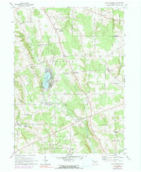
1967 Sugar Lake
Crawford County, PA
1968 Edinboro South
Crawford County, PA
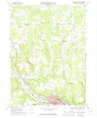
1968 Titusville North
Crawford County, PA
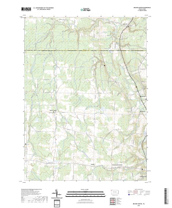
2023 Beaver Center
Crawford County, PA
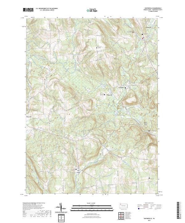
2023 Centerville
Crawford County, PA
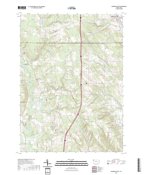
2023 Edinboro South
Crawford County, PA
2023 Lake Canadohta
Crawford County, PA
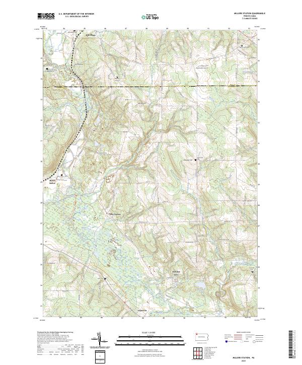
2023 Millers Station
Crawford County, PA
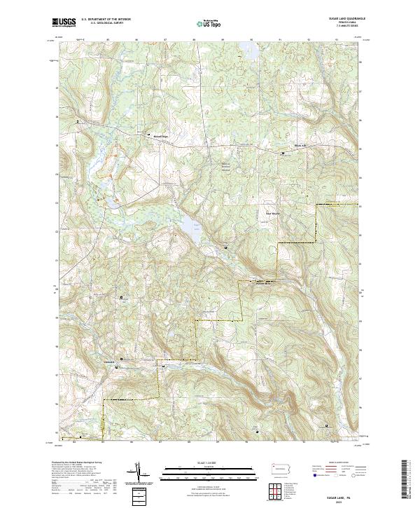
2023 Sugar Lake
Crawford County, PA
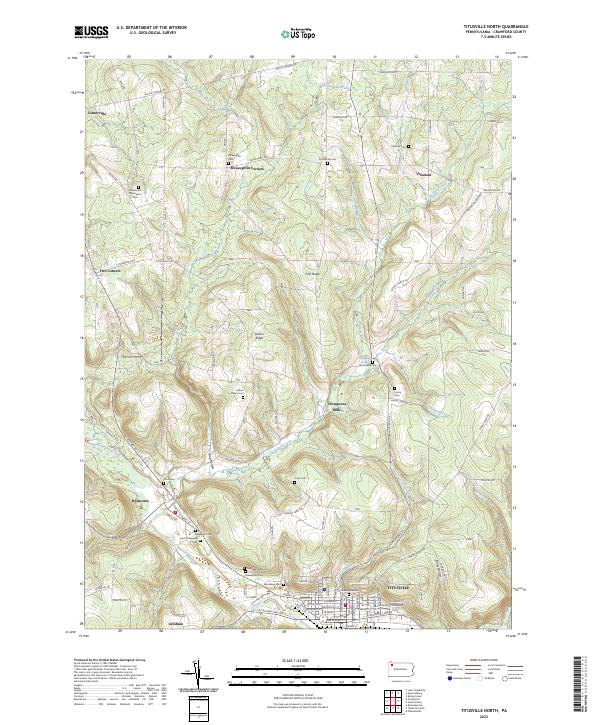
2023 Titusville North
Crawford County, PA