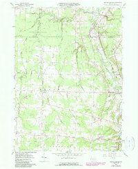
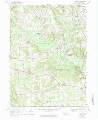
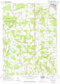
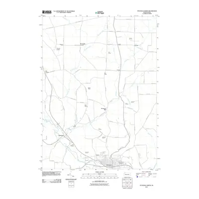
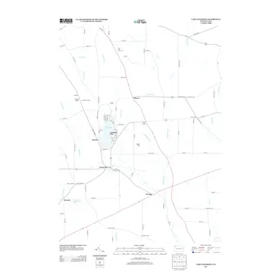
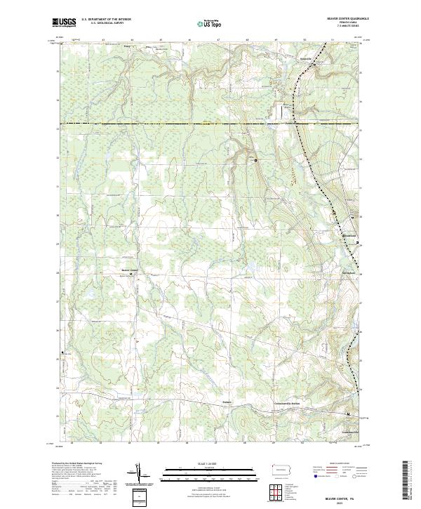
1959 Map of Beaver Center
USGS Topo · Published 1990About this map
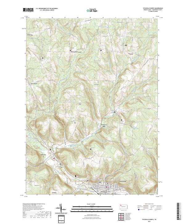
State Game Lands No 101 dominates the northwestern corner of this landscape, marking a transition between managed wilderness and the agricultural grids of Beaver and Spring townships. The local economy and movement patterns are defined by the Conneaut Creek drainage and two major rail corridors. The Bessemer and Lake Erie Railroad and Conrail line parallel the creek, connecting small junctions and settlements like Pennside, Shadeland, and Springboro.
Find a feature on this map
37 named features on this map. Tap any name to fly to it.
Don’t see what you’re looking for? This feature index may not catch every label — zoom into the map to look around manually.
Map Details
Editions of this 1959 Beaver Center Map
4 editions found
Historical Maps of Spring Township Through Time
42 maps found
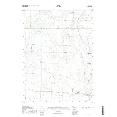
1959 Beaver Center
Crawford County, PA
1967 Centerville
Crawford County, PA
1967 Lake Canadohta
Crawford County, PA
1967 Millers Station
Crawford County, PA
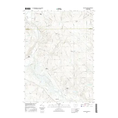
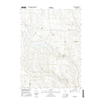
1967 Sugar Lake
Crawford County, PA
1968 Edinboro South
Crawford County, PA
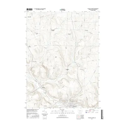
1968 Titusville North
Crawford County, PA
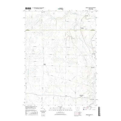
2010 Beaver Center
Crawford County, PA
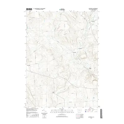
2010 Centerville
Crawford County, PA
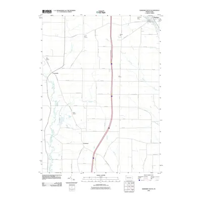
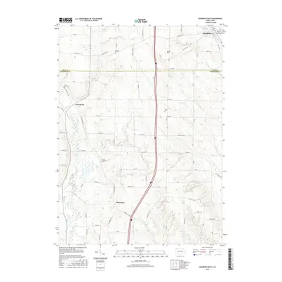
2010 Edinboro South
Crawford County, PA
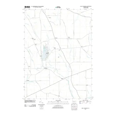
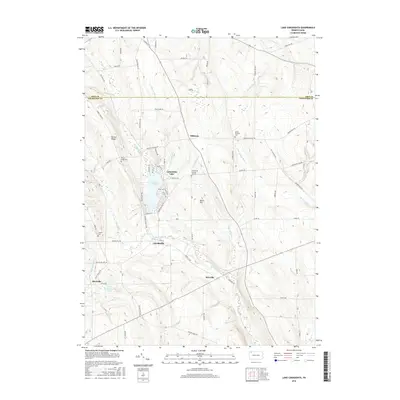
2010 Lake Canadohta
Crawford County, PA
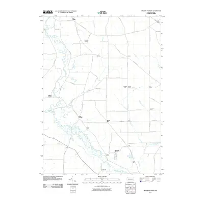
2010 Millers Station
Crawford County, PA
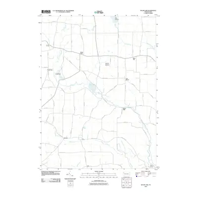
2010 Sugar Lake
Crawford County, PA
2010 Titusville North
Crawford County, PA
2013 Beaver Center
Crawford County, PA
2013 Centerville
Crawford County, PA
2013 Edinboro South
Crawford County, PA
2013 Lake Canadohta
Crawford County, PA
2013 Millers Station
Crawford County, PA
2013 Sugar Lake
Crawford County, PA
2013 Titusville North
Crawford County, PA
2016 Beaver Center
Crawford County, PA
2016 Centerville
Crawford County, PA
2016 Edinboro South
Crawford County, PA
2016 Lake Canadohta
Crawford County, PA
2016 Millers Station
Crawford County, PA
2016 Sugar Lake
Crawford County, PA
2016 Titusville North
Crawford County, PA
2019 Beaver Center
Crawford County, PA
2019 Centerville
Crawford County, PA
2019 Edinboro South
Crawford County, PA
2019 Lake Canadohta
Crawford County, PA
2019 Millers Station
Crawford County, PA
2019 Sugar Lake
Crawford County, PA
2019 Titusville North
Crawford County, PA
2023 Beaver Center
Crawford County, PA
2023 Centerville
Crawford County, PA
2023 Edinboro South
Crawford County, PA
2023 Lake Canadohta
Crawford County, PA
2023 Millers Station
Crawford County, PA
2023 Sugar Lake
Crawford County, PA
2023 Titusville North
Crawford County, PA
Featured Locations
- Spring Township, PA
- Summerhill Township, PA
- Beaver Center, Beaver Township
- Palmer, Beaver Township
- Tracy, Conneaut Township