
1959 Map of East Springfield
USGS Topo · Published 1960About this map
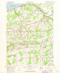
Lake Erie defines the northern edge of this Erie County landscape, where the shoreline meets a highly organized grid of rural roads and rail lines. The local economy and movement of the late 1950s are visible through the heavy presence of the New York Central and St Louis and Bessemer and Lake Erie railroads. These lines intersect at Thornton Junction, supporting the agricultural and industrial character of North Springfield and East Springfield.
Find a feature on this map
74 named features on this map. Tap any name to fly to it.
Don’t see what you’re looking for? This feature index may not catch every label — zoom into the map to look around manually.
Map Details
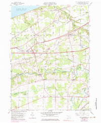
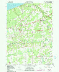
Editions of this 1959 East Springfield Map
4 editions found
Other maps of this area

1900 · Girard
USGS Topo · 1:62,500

1900 · Fairview
USGS Topo · 1:62,500

1906 · Conneaut
USGS Topo · 1:62,500

1950 · Cleveland
USGS Topo · 1:250,000

1950 · Erie
USGS Topo · 1:250,000

1956 · Cleveland
USGS Topo · 1:250,000

1957 · Fairview SW
USGS Topo · 1:24,000
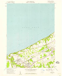
1957 · Fairview
USGS Topo · 1:24,000

1959 · Conneautville
USGS Topo · 1:24,000

1959 · Beaver Center
USGS Topo · 1:24,000
Featured Places
- Springfield Township, PA
- Girard Township, PA
- Center Corner, PA
- Thornton Junction, Girard Township
- West Springfield, PA