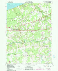
1959 Map of East Springfield
USGS Topo · Published 1990About this map
Conneaut Creek snakes across this Erie County landscape, providing a deep drainage corridor between the agricultural plateaus of Springfield and Conneaut townships. The map documents a critical transportation hub during the late 1950s, where the Nickel Plate Road, New York Central, and Bessemer and Lake Erie railroads intersect near Thornton Junction. This rail density, paired with the development of Interchange 1 and Interchange 2 on the emerging highway system, illustrates the transition from traditional rail commerce to modern interstate travel. Rural life remains anchored by family-named landmarks and local institutions, including the Springfield Cem, Salsbury Cem, and a Covered Bridge crossing the creek. Along the Lake Erie shoreline, recreational sites like Camp Lambee contrast with the inland farming communities of Cherry Hill and Crayton.
Find a feature on this map
70 named features on this map. Tap any name to fly to it.
Don’t see what you’re looking for? This feature index may not catch every label — zoom into the map to look around manually.
Map Details
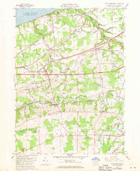
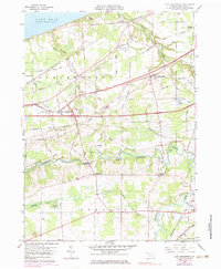
Editions of this 1959 East Springfield Map
4 editions found
Other maps of this area

1900 · Girard
USGS Topo · 1:62,500

1900 · Fairview
USGS Topo · 1:62,500

1906 · Conneaut
USGS Topo · 1:62,500

1950 · Cleveland
USGS Topo · 1:250,000

1950 · Erie
USGS Topo · 1:250,000

1956 · Cleveland
USGS Topo · 1:250,000

1957 · Fairview SW
USGS Topo · 1:24,000
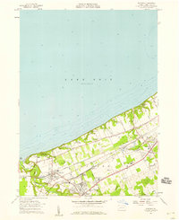
1957 · Fairview
USGS Topo · 1:24,000

1959 · Conneautville
USGS Topo · 1:24,000

1959 · East Springfield
USGS Topo · 1:24,000
Featured Places
- Springfield Township, PA
- Girard Township, PA
- Center Corner, PA
- Thornton Junction, Girard Township
- West Springfield, PA