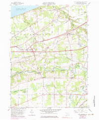
1959 Map of East Springfield
USGS Topo · Published 1983About this map
Lake Erie defines the northern reaches of this Erie County landscape, where the shoreline meets a complex network of mid-century transport and drainage. The rugged incision of Conneaut Creek meanders through the southern half of the quadrangle, characterized by its deep valley and a notable Covered Bridge. The settlement pattern reflects a rail-dependent history, with Thornton Junction and West Springfield serving as primary hubs for the Penn Central, Norfolk and Western, and Bessemer and Lake Erie railroads. Genealogists will find significant value in the numerous family-named burial grounds, including Griffey Cem and Salisbury Cem, which are scattered among the agricultural fields and woodlots of the Springfield township. To the south, the protected terrain of State Game Lands No 101 marks a shift toward conserved natural space near the Ohio state line.
Find a feature on this map
62 named features on this map. Tap any name to fly to it.
Don’t see what you’re looking for? This feature index may not catch every label — zoom into the map to look around manually.
Map Details
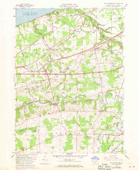
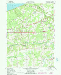
Editions of this 1959 East Springfield Map
4 editions found
Other maps of this area

1900 · Girard
USGS Topo · 1:62,500

1900 · Fairview
USGS Topo · 1:62,500

1906 · Conneaut
USGS Topo · 1:62,500

1950 · Cleveland
USGS Topo · 1:250,000

1950 · Erie
USGS Topo · 1:250,000

1956 · Cleveland
USGS Topo · 1:250,000

1957 · Fairview SW
USGS Topo · 1:24,000
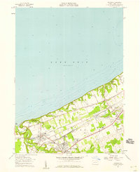
1957 · Fairview
USGS Topo · 1:24,000

1959 · Conneautville
USGS Topo · 1:24,000

1959 · East Springfield
USGS Topo · 1:24,000
Featured Places
- Springfield Township, PA
- Girard Township, PA
- Center Corner, PA
- Thornton Junction, Girard Township
- West Springfield, PA