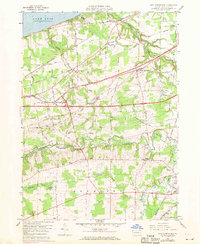
1959 Map of East Springfield
USGS Topo · Published 1970About this map
The northern coastline of Lake Erie meets a landscape defined by deep creek ravines and a dense transportation corridor in this late 1950s survey. Settlements like West Springfield and East Springfield are positioned along the historic east-west transit lines, including Yellowstone Road and the Penn Central tracks. The terrain is deeply incised by the winding course of Conneaut Creek, where a Covered Bridge still stands near Kidders Corner. This area reflects a mid-century rural economy shifting between lakeside recreation at Camp Lambec and the heavy infrastructure of the Bessemer and Lake Erie railroad. Genealogists will find several burial grounds mapped with precision, from the Cottage Church Cem in the west to the Valley Cem near the East Branch of the creek. The presence of the Airway Beacon and a Landing Strip near North Springfield underscores the era's developing regional aviation network.
Find a feature on this map
58 named features on this map. Tap any name to fly to it.
Don’t see what you’re looking for? This feature index may not catch every label — zoom into the map to look around manually.
Map Details
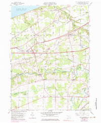
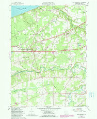
Editions of this 1959 East Springfield Map
4 editions found
Other maps of this area

1900 · Girard
USGS Topo · 1:62,500

1900 · Fairview
USGS Topo · 1:62,500

1906 · Conneaut
USGS Topo · 1:62,500

1950 · Cleveland
USGS Topo · 1:250,000

1950 · Erie
USGS Topo · 1:250,000

1956 · Cleveland
USGS Topo · 1:250,000

1957 · Fairview SW
USGS Topo · 1:24,000
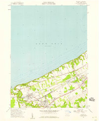
1957 · Fairview
USGS Topo · 1:24,000

1959 · Conneautville
USGS Topo · 1:24,000

1959 · East Springfield
USGS Topo · 1:24,000
Featured Places
- Springfield Township, PA
- Girard Township, PA
- Center Corner, PA
- Thornton Junction, Girard Township
- West Springfield, PA