
1957 Map of Fairview SW
USGS Topo · Published 1958About this map
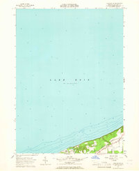
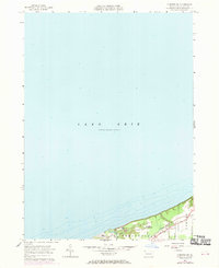
Lake Erie dominates this coastal survey, where the deep waters of the Great Lakes meet the northwestern corner of Pennsylvania. The shoreline is characterized by a series of recreation sites and youth retreats, including Camp Judson, Camp Fitch, and Camp Sequoyah, which are situated along the elevated bluffs overlooking the water. This concentration of camps suggests a mid-century landscape heavily oriented toward seasonal recreation and lakeside community life.
Find a feature on this map
13 named features on this map. Tap any name to fly to it.
Don’t see what you’re looking for? This feature index may not catch every label — zoom into the map to look around manually.
Map Details
Editions of this 1957 Fairview SW Map
Other maps of this area

1900 · Girard
USGS Topo · 1:62,500

1900 · Fairview
USGS Topo · 1:62,500

1906 · Conneaut
USGS Topo · 1:62,500

1950 · Cleveland
USGS Topo · 1:250,000

1950 · Erie
USGS Topo · 1:250,000

1956 · Cleveland
USGS Topo · 1:250,000
1957 · Fairview
USGS Topo · 1:24,000

1959 · East Springfield
USGS Topo · 1:24,000
1959 · Albion
USGS Topo · 1:24,000

1959 · Erie
USGS Topo · 1:250,000