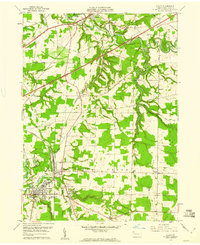
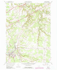
1959 Map of Albion
USGS Topo · Published 1960About this map
The town of Albion and the neighboring borough of Cranesville anchor the southern reach of this Erie County landscape, where the Bessemer and Lake Erie railroad corridor runs parallel to Conneaut Creek. To the north, the winding path of Elk Creek dominates the terrain, featuring a Covered Bridge and a crossing for the New York Chicago and St Louis line near Girard. The map captures a transition from concentrated borough life to the dispersed rural settlements of Lundys Lane and Ivarea.
Find a feature on this map
54 named features on this map. Tap any name to fly to it.
Don’t see what you’re looking for? This feature index may not catch every label — zoom into the map to look around manually.
Map Details
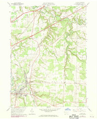
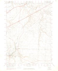
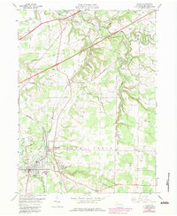
Editions of this 1959 Albion Map
5 editions found
Other maps of this area

1899 · Erie
USGS Topo · 1:62,500

1900 · Girard
USGS Topo · 1:62,500

1900 · Erie
USGS Topo · 1:62,500

1900 · Fairview
USGS Topo · 1:62,500

1923 · Cambridge Springs
USGS Topo · 1:62,500

1925 · Cambridge Springs
USGS Topo · 1:62,500

1943 · Cambridge Springs
USGS Topo · 1:62,500

1950 · Cleveland
USGS Topo · 1:250,000

1950 · Erie
USGS Topo · 1:250,000

1956 · Cleveland
USGS Topo · 1:250,000