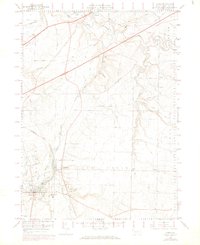
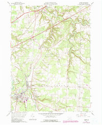
1959 Map of Albion
USGS Topo · Published 1970About this map
Elk Creek and its winding tributaries define the landscape of western Erie County, where the historic Yellowstone Trail cuts across the northern terrain near Girard. The 1959 survey reveals a rural infrastructure built on rail and local institutions, with the Bessemer and Lake Erie railroad serving industrial points like the Gravel Pit and passing through the heart of Albion. Local history is preserved in the numerous named burial grounds and rural schoolhouses that dot the townships, including Drury Cem and the Elk Creek Sch. Further south, the community of Lundys Lane sits at a crossroads near the Northwestern High Sch, while more remote landmarks like the Covered Bridge on Little Elk Creek and the Port Albion Airport reflect the era's blend of traditional and modern transportation.
Find a feature on this map
40 named features on this map. Tap any name to fly to it.
Don’t see what you’re looking for? This feature index may not catch every label — zoom into the map to look around manually.
Map Details
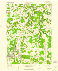
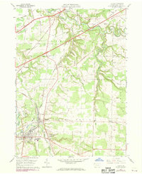
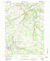
Editions of this 1959 Albion Map
5 editions found
Other maps of this area

1899 · Erie
USGS Topo · 1:62,500

1900 · Girard
USGS Topo · 1:62,500

1900 · Erie
USGS Topo · 1:62,500

1900 · Fairview
USGS Topo · 1:62,500

1923 · Cambridge Springs
USGS Topo · 1:62,500

1925 · Cambridge Springs
USGS Topo · 1:62,500

1943 · Cambridge Springs
USGS Topo · 1:62,500

1950 · Cleveland
USGS Topo · 1:250,000

1950 · Erie
USGS Topo · 1:250,000

1956 · Cleveland
USGS Topo · 1:250,000