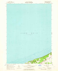
1957 Map of Fairview SW
USGS Topo · Published 1965About this map
The northern shoreline of Erie County is defined here by the meeting of the Springfield and Girard townships with the expansive waters of Lake Erie. This mid-century coastal portrait shows a landscape transitioning from the industrial pulse of the New York Central railroad corridor to a series of recreational lakefront camps. The presence of Camp Fitch, Camp Judson, and Camp Sequoyah along the bluff suggests a mid-twentieth-century peak in regional youth and summer camping culture. Local infrastructure like Lake Road and Central Road follows the natural contour of the shore, while Crooked Creek cuts through the terrain to reach the lake, illustrating the traditional drainage patterns that shaped early settlement in this part of Pennsylvania.
Find a feature on this map
14 named features on this map. Tap any name to fly to it.
Don’t see what you’re looking for? This feature index may not catch every label — zoom into the map to look around manually.
Map Details
Editions of this 1957 Fairview SW Map
Other maps of this area

1900 · Girard
USGS Topo · 1:62,500

1900 · Fairview
USGS Topo · 1:62,500

1906 · Conneaut
USGS Topo · 1:62,500

1950 · Cleveland
USGS Topo · 1:250,000

1950 · Erie
USGS Topo · 1:250,000

1956 · Cleveland
USGS Topo · 1:250,000

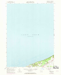
1957 · Fairview SW
USGS Topo · 1:24,000
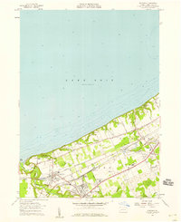
1957 · Fairview
USGS Topo · 1:24,000

1959 · East Springfield
USGS Topo · 1:24,000
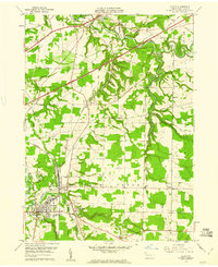
1959 · Albion
USGS Topo · 1:24,000