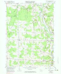
1959 Map of Beaver Center
USGS Topo · Published 1983About this map
State Game Lands No 101 occupies a significant portion of this landscape, where the headwaters of the West Branch Conneaut Creek and Middle Branch converge near the Ohio state line. The map captures a rural network of villages and family-named landmarks during the mid-to-late 20th century. Settlement is concentrated along the eastern rail corridors, where the Bessemer and Lake Erie and Penn Central lines run parallel to Conneaut Creek. These transportation arteries link established communities like Keepville, Springboro, and Conneautville. Local historical interest is found in the scattered burial grounds such as White Cem and Brooks Cem, as well as the transition of the landscape from the wooded game lands to the agricultural and light industrial zones near Pennside, which features a Gravel Pit and Gas Well.
Find a feature on this map
34 named features on this map. Tap any name to fly to it.
Don’t see what you’re looking for? This feature index may not catch every label — zoom into the map to look around manually.
Map Details
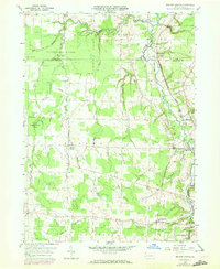
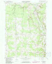
Editions of this 1959 Beaver Center Map
4 editions found

Other maps of this area

1900 · Girard
USGS Topo · 1:62,500

1905 · Andover
USGS Topo · 1:48,000

1906 · Conneaut
USGS Topo · 1:62,500

1906 · Linesville
USGS Topo · 1:62,500

1907 · Andover
USGS Topo · 1:62,500

1908 · Linesville
USGS Topo · 1:62,500

1950 · Cleveland
USGS Topo · 1:250,000

1956 · Cleveland
USGS Topo · 1:250,000

1959 · Conneautville
USGS Topo · 1:24,000

1959 · East Springfield
USGS Topo · 1:24,000