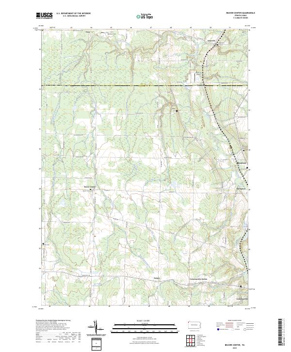
2023 Map of Beaver Center
USGS Topo · Published 2023About this map
Beaver Center and Springboro anchor a landscape defined by the winding network of West Branch Conneaut Creek and the East Branch Conneaut Creek. The area’s rural character is evidenced by numerous historic burial grounds, including the Beaver Center Cem, White Cem, and Saint Peters Cem. In the north, small settlements like Keepville and Tracy sit near the county line, while the presence of Dream Air Airport and G & N Airport suggests a reliance on small-scale regional aviation. The terrain is deeply carved by drainage systems like Stone Run, Crazy Run, and Mud Run, creating a complex topography of ridges and bottoms. This survey provides a modern snapshot of a region where old crossroads communities like Palmer and Pennside continue to persist alongside long-established family homesteads and local roads.
Find a feature on this map
65 named features on this map. Tap any name to fly to it.
Don’t see what you’re looking for? This feature index may not catch every label — zoom into the map to look around manually.
Map Details
Editions of this 2023 Beaver Center Map
This is the sole edition of this map. No revisions or reprints were ever made.
Other maps of this area

1900 · Girard
USGS Topo · 1:62,500

1905 · Andover
USGS Topo · 1:48,000

1906 · Conneaut
USGS Topo · 1:62,500

1906 · Linesville
USGS Topo · 1:62,500

1907 · Andover
USGS Topo · 1:62,500

1908 · Linesville
USGS Topo · 1:62,500

1950 · Cleveland
USGS Topo · 1:250,000

1956 · Cleveland
USGS Topo · 1:250,000

1959 · Conneautville
USGS Topo · 1:24,000

1959 · East Springfield
USGS Topo · 1:24,000