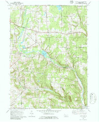
1967 Map of Sugar Lake
USGS Topo · Published 1986About this map
Sugar Lake serves as a central landmark in this 1967 survey of the rural borderlands between Crawford and Venango Counties. The landscape is defined by the headwaters of the Sugar Creek system, including Little Sugar Creek and Beatty Run, which carve through the plateau. Small agrarian communities like Black Ash, Mt Hope, and East Wayne are connected by a network of local roads such as Maple Hill Road. The area exhibits a strong tradition of local institutions, evidenced by numerous country churches and burial grounds like St Johns Ch and the adjacent St Johns Cem.
Find a feature on this map
42 named features on this map. Tap any name to fly to it.
Don’t see what you’re looking for? This feature index may not catch every label — zoom into the map to look around manually.
Map Details
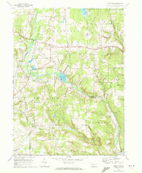
Editions of this 1967 Sugar Lake Map
2 editions found
Other maps of this area

1909 · Franklin
USGS Topo · 1:62,500

1911 · Franklin
USGS Topo · 1:62,500

1911 · Stoneboro
USGS Topo · 1:62,500

1913 · Stoneboro
USGS Topo · 1:62,500

1923 · Meadville
USGS Topo · 1:62,500

1925 · Meadville
USGS Topo · 1:62,500

1927 · Townville
USGS Topo · 1:48,000

1932 · Townville
USGS Topo · 1:62,500

1943 · Meadville
USGS Topo · 1:62,500

1943 · Stoneboro
USGS Topo · 1:62,500