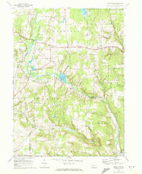
1967 Map of Sugar Lake
USGS Topo · Published 1972About this map
Erie National Wildlife Refuge dominates the western portion of this landscape, where the waters of French Creek and Brawley Run define a significant conservation area. The topography transition from the wetlands of the refuge to the rolling uplands is marked by small agricultural settlements and rural social centers. The community of Black Ash sits near the headwaters of Sugar Creek, while to the south, Sugar Lake serves as a local focal point with its Boat Ramp and proximity to Wilson Mills.
Find a feature on this map
42 named features on this map. Tap any name to fly to it.
Don’t see what you’re looking for? This feature index may not catch every label — zoom into the map to look around manually.
Map Details
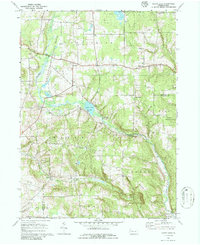
Editions of this 1967 Sugar Lake Map
2 editions found
Other maps of this area

1909 · Franklin
USGS Topo · 1:62,500

1911 · Franklin
USGS Topo · 1:62,500

1911 · Stoneboro
USGS Topo · 1:62,500

1913 · Stoneboro
USGS Topo · 1:62,500

1923 · Meadville
USGS Topo · 1:62,500

1925 · Meadville
USGS Topo · 1:62,500

1927 · Townville
USGS Topo · 1:48,000

1932 · Townville
USGS Topo · 1:62,500

1943 · Meadville
USGS Topo · 1:62,500

1943 · Stoneboro
USGS Topo · 1:62,500