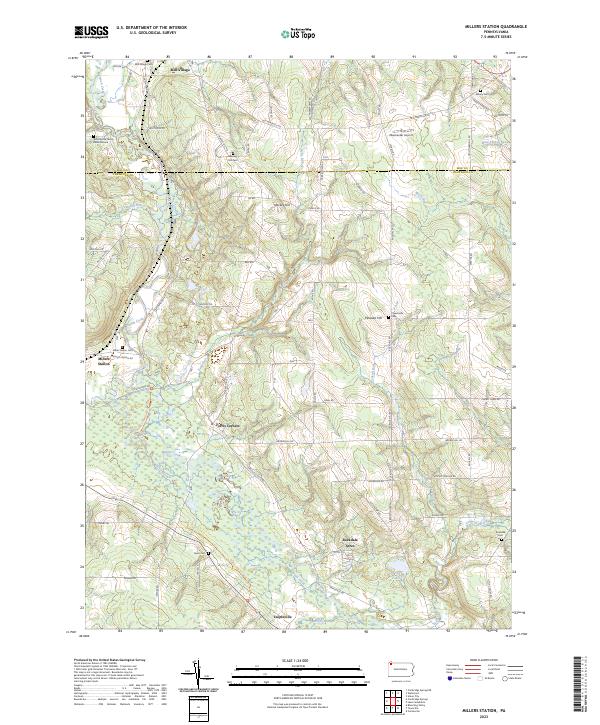
2023 Map of Millers Station
USGS Topo · Published 2023About this map
French Creek winds through the western reach of this landscape, defining a corridor of wetlands and low-lying terrain between the settlements of Mill Village and Millers Station. This modern survey of the border between Erie and Crawford counties reveals a rural region where small crossroad communities like Ferris Corners and Teepleville remain central to the geography. The map is particularly rich for genealogical research, documenting numerous small burial sites such as the Waterhouse Family Burial Ground and Asbury Cem, which dot the uplands near Mackey Hill and Pleasant Hill.
Find a feature on this map
75 named features on this map. Tap any name to fly to it.
Don’t see what you’re looking for? This feature index may not catch every label — zoom into the map to look around manually.
Map Details
Editions of this 2023 Millers Station Map
This is the sole edition of this map. No revisions or reprints were ever made.
Other maps of this area

1923 · Meadville
USGS Topo · 1:62,500

1923 · Cambridge Springs
USGS Topo · 1:62,500

1925 · Meadville
USGS Topo · 1:62,500

1925 · Cambridge Springs
USGS Topo · 1:62,500

1927 · Townville
USGS Topo · 1:48,000

1929 · Union City
USGS Topo · 1:62,500

1932 · Townville
USGS Topo · 1:62,500

1932 · Union City
USGS Topo · 1:62,500

1943 · Meadville
USGS Topo · 1:62,500

1943 · Cambridge Springs
USGS Topo · 1:62,500