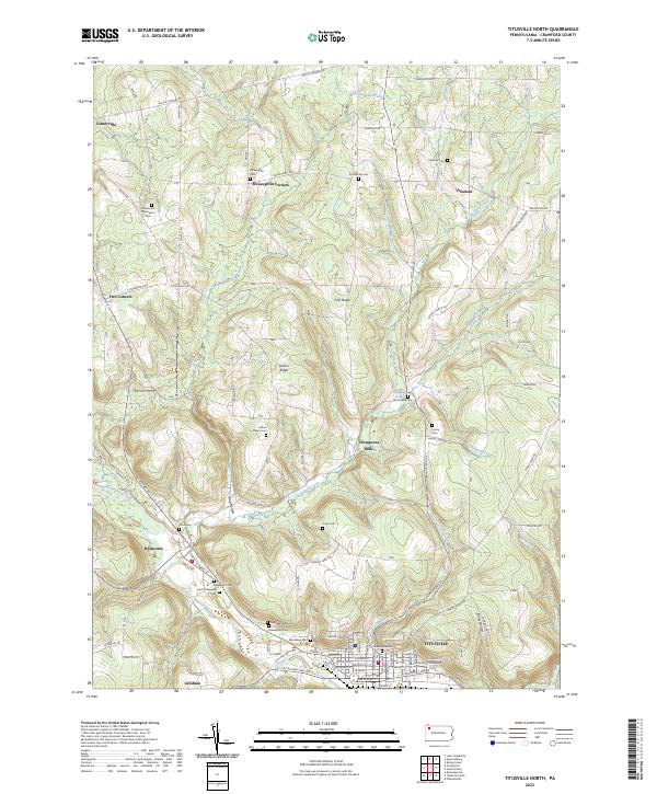
2023 Map of Titusville North
USGS Topo · Published 2023About this map
Titusville serves as the industrial and educational anchor of this northwestern Pennsylvania landscape, home to the University of Pittsburgh at Titusville and a dense concentration of burial grounds including Woodlawn Cem and Greenwood Cem. Northward, the terrain transitions into a mosaic of ridges and creek valleys, where smaller hamlets like McLaughlin Corners and Thompsons Mills mark historic crossroads. The drainage patterns of Oil Creek and Thompson Creek define the movement through these highlands, which are punctuated by family-named landmarks such as Gilson Ridge and Fink Ridge. Genealogists will find this sheet particularly valuable for its density of rural cemeteries, from the Immaculate Conception Cem in Centerville to the isolated Covenanter Cem near Vrooman, reflecting the deep-rooted settlement patterns of Crawford County.
Find a feature on this map
91 named features on this map. Tap any name to fly to it.
Don’t see what you’re looking for? This feature index may not catch every label — zoom into the map to look around manually.
Map Details
Editions of this 2023 Titusville North Map
This is the sole edition of this map. No revisions or reprints were ever made.
Other maps of this area

1927 · Townville
USGS Topo · 1:48,000

1927 · Titusville
USGS Topo · 1:62,500

1929 · Corry
USGS Topo · 1:48,000

1929 · Union City
USGS Topo · 1:62,500

1932 · Corry
USGS Topo · 1:62,500

1932 · Townville
USGS Topo · 1:62,500

1932 · Union City
USGS Topo · 1:62,500

1933 · Titusville
USGS Topo · 1:62,500

1945 · Townville
USGS Topo · 1:62,500

1957 · Warren
USGS Topo · 1:250,000