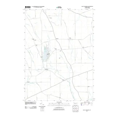
2010 Map of Lake Canadohta
USGS Topo · Published 2010About this map
Lake Canadohta serves as the focal point for this section of Crawford County, surrounded by a network of small settlements and family-named corners. The landscape is defined by the headwaters of Oil Creek, which winds southward toward Lincolnville and Riceville. Local history is preserved in numerous small plots like the Bloomfield Burying Ground and Shreve Ridge Cemetery, while the recreational character of the area is evident at the Canadohta Ski Slope and the Union City Golf Course.
Find a feature on this map
79 named features on this map. Tap any name to fly to it.
Don’t see what you’re looking for? This feature index may not catch every label — zoom into the map to look around manually.
Map Details
Editions of this 2010 Lake Canadohta Map
This is the sole edition of this map. No revisions or reprints were ever made.
Other maps of this area

1927 · Townville
USGS Topo · 1:48,000

1927 · Titusville
USGS Topo · 1:62,500

1929 · Corry
USGS Topo · 1:48,000

1929 · Union City
USGS Topo · 1:62,500

1932 · Corry
USGS Topo · 1:62,500

1932 · Townville
USGS Topo · 1:62,500

1932 · Union City
USGS Topo · 1:62,500

1933 · Titusville
USGS Topo · 1:62,500

1945 · Townville
USGS Topo · 1:62,500

1957 · Warren
USGS Topo · 1:250,000
Featured Places
- Clements Corners, PA
- Brimstone Corners, PA
- Athens Township, PA
- Bloomfield Township, PA
- Sparta Township, PA