2010s Maps of Wharton Township, Pennsylvania
Explore 24 historic maps of Wharton Township from the 2010s. These maps offer a rare glimpse into what life looked like during the 2010s — showing old roads, neighborhoods, homes, and landmarks that have changed or disappeared over time.
Whether you're researching your family's past, planning a metal detecting trip, or studying how Wharton Township's landscape evolved across the 2010s, these high-resolution maps are a powerful tool for exploring the history of this region.
- Focus on a specific era: All maps on this page are from the 2010s, giving you a focused view of this time period.
- See what’s changed: Compare century-old streets, trails, and buildings to today's modern landscape using overlays and satellite layers.
- Research with precision: Use these maps for genealogy, historical research, land use analysis, or educational projects.
- View, download, or print: Maps are fully viewable online in high resolution, and can be downloaded or printed for your own records.
Start exploring Wharton Township's history through authentic maps from the 2010s. This is your window into the past.
Wharton Township, PA maps
(24)- 2010 Map of Fort Necessity, 2010 Print
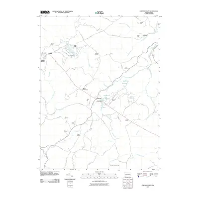 2010 Fort Necessity2010 Print · USGSWharton Township and the surrounding mountain ridges are shown here in the years following the turn of the century. Trace local family roots and land patterns at Farmington and Chalkhill, or locate smaller sites like Stonerville and Sunsetview Cemetery.
 - 2010 Map of South Connellsville, 2010 Print
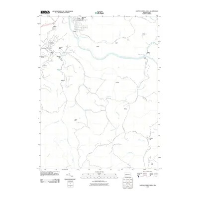 2010 South Connellsville2010 Print · USGSFayette County’s industrial river valley and rising highlands come into focus in the early twenty-first century. Researchers can trace family history through local landmarks like Franklin Cemetery or explore the geography of Dunbar, Irishtown, and Ohiopyle State Park.
 - 2010 Map of Ohiopyle, 2010 Print
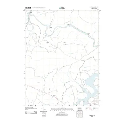 2010 Ohiopyle2010 Print · USGSFayette County's river-carved landscape is showcased here in the early twenty-first century as the region transitioned toward recreation. Genealogists and hikers can trace old roads and river settlements such as Victoria, Bidwell, and Somerfield, or locate landmarks like the Sugarloaf Fire Tower.
 - 2010 Map of Brownfield, 2010 Print
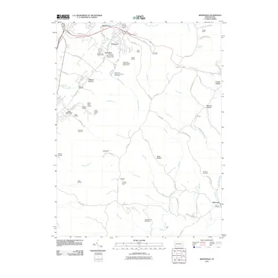 2010 Brownfield2010 Print · USGSFayette County’s industrial and natural transitions are visible here in the early twenty-first century as the area balances its iron-making past with modern conservation. Researchers can trace family history through several burial grounds like Little White Rock Cemetery and explore landmarks like Wharton Furnace and the Grist Mill.
 - 2011 Map of Bruceton Mills, 2011 Print
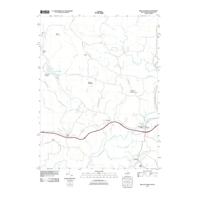 2011 Bruceton Mills2011 Print · USGSThe West Virginia-Pennsylvania borderlands are meticulously detailed here in the early 2010s, centered on the Big Sandy Creek corridor. Local historians can trace the foundations of Bruceton Mills and search for the vanished settlement of Florence.
 - 2011 Map of Brandonville, 2011 Print
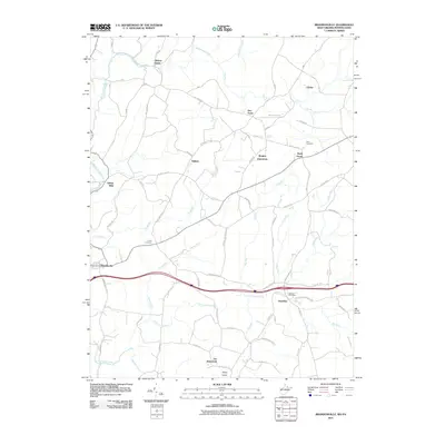 2011 Brandonville2011 Print · USGSThe West Virginia-Pennsylvania borderlands come into focus in this early twenty-first-century survey. Genealogists and local researchers can trace family landmarks and rural hubs like Clifton Mills, Teets Cemetery, and the Hazelton Post Office.
 - 2013 Map of Ohiopyle, 2013 Print
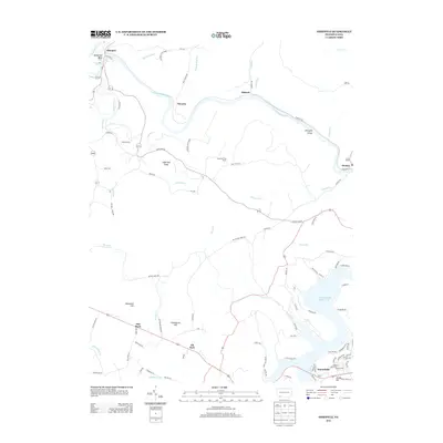 2013 Ohiopyle2013 Print · USGSFayette County in the early twenty-first century is defined by the steep river valleys and high ridges of the Laurel Highlands. Trace the winding river through Ohiopyle Gorge, past Ohiopyle Falls, and across the shores of Youghiogheny River Lake.
 - 2013 Map of Brownfield, 2013 Print
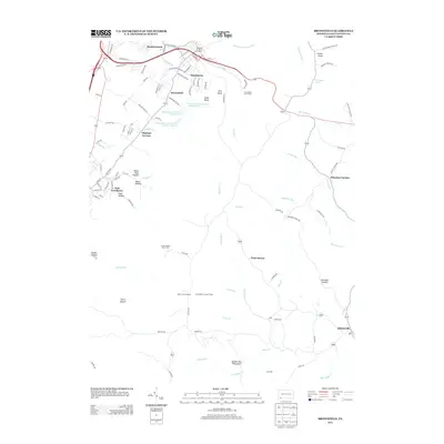 2013 Brownfield2013 Print · USGSFayette County's industrial roots and rugged conservation lands meet in this 2013 study of the western Alleghenies. Local historians can trace early iron production at Wharton Furnace or locate family landmarks like the Grist Mill near Elliottsville.
 - 2013 Map of South Connellsville, 2013 Print
 2013 South Connellsville2013 Print · USGSFayette County's industrial corridor and the river-carved hills of southwestern Pennsylvania are documented here in the early twenty-first century. Genealogists and researchers can trace family-named locations and workers' hamlets like Brown Row, Factory Hill, and Irishtown.
 - 2013 Map of Fort Necessity, 2013 Print
 2013 Fort Necessity2013 Print · USGSWharton Township and the Fayette County highlands are documented here during the early twenty-first century. Researchers can trace local landmarks like Nemacolin Airport, explore the area around Kentuck Knob, and locate smaller settlements such as Farmington and Chalkhill.
 - 2014 Map of Brandonville, 2014 Print
 2014 Brandonville2014 Print · USGSThe West Virginia and Pennsylvania borderlands appear in high detail during the early 2010s, centered on the historic crossroads of Preston County. Researchers can trace family roots through numerous burial sites and small settlements like Union Cem, Clifton Mills, and Glade Farms.
 - 2014 Map of Bruceton Mills, 2014 Print
 2014 Bruceton Mills2014 Print · USGSThe Pennsylvania and West Virginia borderlands come into focus in the early 2010s, centered on the community of Bruceton Mills. Researchers can trace local history through landmarks like West Clifton Mills Truss Bridge and Fair View Cem.
 - 2016 Map of Brownfield, 2016 Print
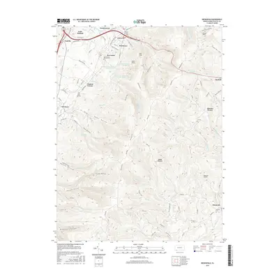 2016 Brownfield2016 Print · USGSFayette County’s industrial and natural landscape is detailed here in the mid-2010s, from the valley settlements to the high ridges. Local historians can trace early iron industry sites like Wharton Furnace or locate family plots at Hull Cem and Visitation Cem.
 - 2016 Map of Fort Necessity, 2016 Print
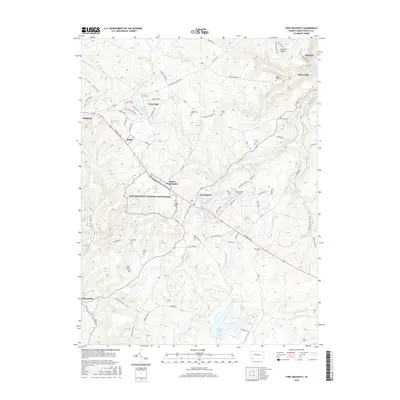 2016 Fort Necessity2016 Print · USGSWharton Township and the Fayette County highlands are shown here in the 2010s, centered on the ground of the Great Meadows. Trace colonial history and family roots through sites like Fort Necessity National Battlefield, Spear Cem, and the Middle Ridge Cem.
 - 2016 Map of Ohiopyle, 2016 Print
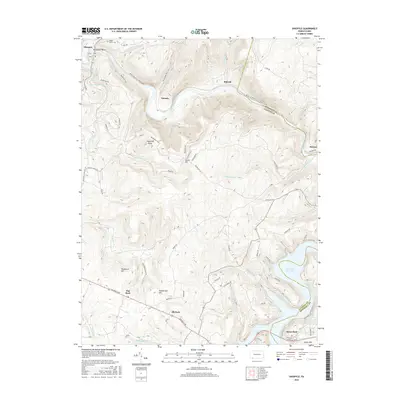 2016 Ohiopyle2016 Print · USGSIn the mid-2010s, the river-carved landscape of Fayette County remains a focal point for researchers and historians. You can trace the path of the historic National Pike and locate family landmarks like Maple Grove Cem and Sugarloaf Knob.
 - 2016 Map of South Connellsville, 2016 Print
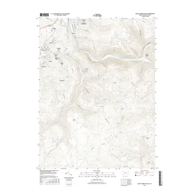 2016 South Connellsville2016 Print · USGSThe Youghiogheny River valley and the Fayette County highlands are captured here in the mid-2010s, showing a landscape shaped by coal and iron history. Researchers can locate family landmarks and rural cemeteries like Roebuck Cem near settlements such as Dunbar, Pechin, and Irishtown.
 - 2016 Map of Brandonville, 2016 Print
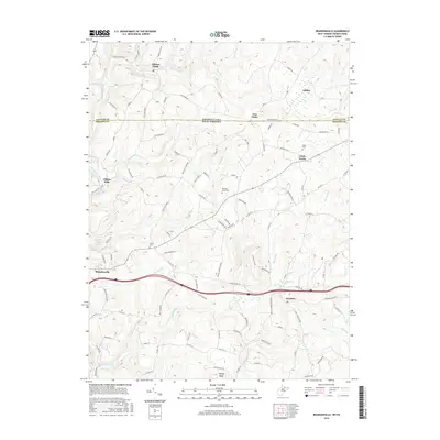 2016 Brandonville2016 Print · USGSThe rural borderlands of West Virginia and Pennsylvania are shown here in the mid-2010s as a landscape of ridge-top farms and deep creek valleys. Researchers can trace family roots at Teets Cemetery or explore small historic hubs like Clifton Mills and Hazelton.
 - 2016 Map of Bruceton Mills, 2016 Print
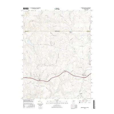 2016 Bruceton Mills2016 Print · USGSThe West Virginia and Pennsylvania border comes alive in this 2016 survey of the Big Sandy Creek valley. Genealogists and local historians can locate early cemeteries like Fair View Cem and historic spans such as the West Clifton Mills Truss Bridge.
 - 2019 Map of Fort Necessity, 2019 Print
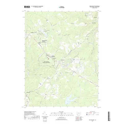 2019 Fort Necessity2019 Print · USGSFayette County’s high ridges and historical crossroads are captured here in the late 2010s. Researchers can locate dozens of family burial sites like the Sansom Cem and trace the legacy of the National Pike near the General Edward Braddock Gravesite.
 - 2019 Map of Brownfield, 2019 Print
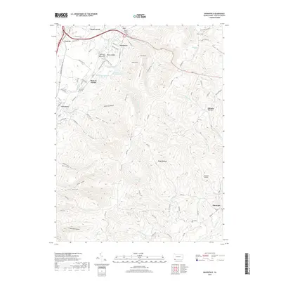 2019 Brownfield2019 Print · USGSFayette County near the West Virginia border shows a unique blend of early industrial sites and mountain hollows in the late twenty-first century. Genealogists and historians can locate Wharton Furnace, Oliphant Furnace, and several small burial sites like Hull Cem.
 - 2019 Map of Ohiopyle, 2019 Print
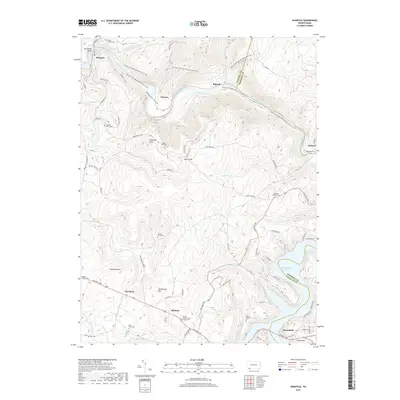 2019 Ohiopyle2019 Print · USGSThe Youghiogheny River corridor near the Fayette and Somerset county line is shown here in the late twenty-teens. Researchers can trace historic family burial sites like Tressler Farm Cem and Jacob Humbertson Family Cem near the banks of Ohiopyle Falls.
 - 2019 Map of South Connellsville, 2019 Print
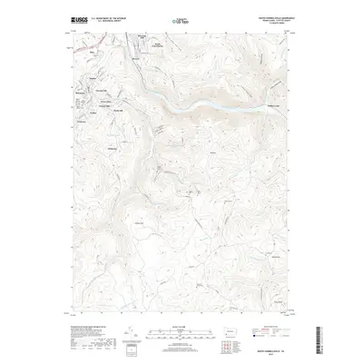 2019 South Connellsville2019 Print · USGSFayette County’s industrial valleys and high ridges are shown here in the late 2010s. Genealogists can locate family burial sites like the Hughes Family Cem - 3 or trace the geography of settlements like Mahoning and Furnace Hill.
 - 2019 Map of Bruceton Mills, 2019 Print
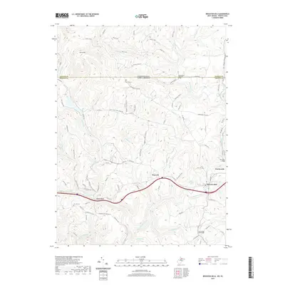 2019 Bruceton Mills2019 Print · USGSThe West Virginia and Pennsylvania borderlands come alive in this map of the Preston and Fayette County line. Researchers can trace family sites at East View Cem or locate the historic West Clifton Mills-Truss Bridge and Wirsing School.
 - 2019 Map of Brandonville, 2019 Print
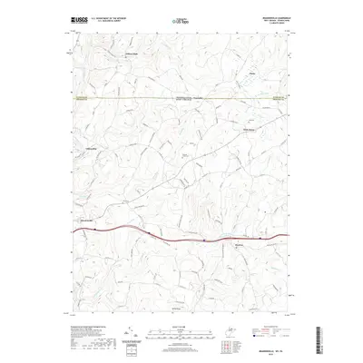 2019 Brandonville2019 Print · USGSThe borderlands of northern West Virginia and southern Pennsylvania come into focus in this recent survey. Genealogists and researchers can trace family-named sites and rural landmarks like Clifton Mills, Gibbon Glade, and Pleasant Grove Cem.
End of results
Showing maps 1-24 of 24
Top cities near Wharton Township
- Uniontown historical maps
- Connellsville historical maps
- Springhill Township historical maps
- South Connellsville historical maps
- Fairchance historical maps
- Dunbar historical maps
See more
Top neighborhoods of Wharton Township
- Gibbon Glade historical maps
- Glades historical maps
- Wharton Furnace historical maps
- Elliottsville historical maps
- New Meadow Run Bruderhof historical maps
- Point Breeze historical maps
See more
Frequently asked questions
- What are the different types of historical maps available for Wharton Township?
- What is the oldest map of Wharton Township?
- Where can I purchase historical maps of Wharton Township for my home or office?
- Where can I download high-res historical maps of Wharton Township?
- Are there historical topographic maps available for Wharton Township?
- Is there historical aerial imagery available for Wharton Township?
- Where are historical maps of Wharton Township sourced from?