2000s (21st Century) Maps of Forest County, Pennsylvania
Explore 90 historic maps of Forest County from the 2000s (21st Century). These maps offer a rare glimpse into what life looked like during the 2000s — showing old roads, neighborhoods, homes, and landmarks that have changed or disappeared over time.
Whether you're researching your family's past, planning a metal detecting trip, or studying how Forest County's landscape evolved across the 2000s, these high-resolution maps are a powerful tool for exploring the history of this region.
- Focus on a specific era: All maps on this page are from the 2000s, giving you a focused view of this time period.
- See what’s changed: Compare century-old streets, trails, and buildings to today's modern landscape using overlays and satellite layers.
- Research with precision: Use these maps for genealogy, historical research, land use analysis, or educational projects.
- View, download, or print: Maps are fully viewable online in high resolution, and can be downloaded or printed for your own records.
Start exploring Forest County's history through authentic maps from the 2000s. This is your window into the past.
Forest County, PA maps
(90)- 2010 Map of President, 2010 Print
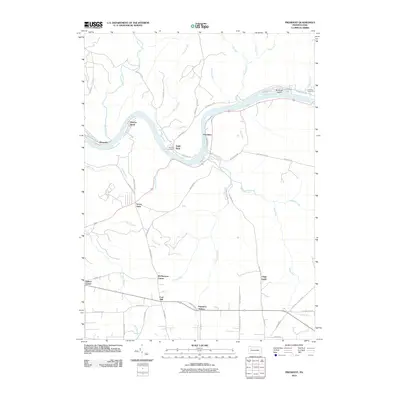 2010 President2010 Print · USGSThe Allegheny River valley comes into sharp focus during the early twenty-first century, showing the enduring riverside settlements and rugged interior of Venango County. Genealogists and historians can locate family-named sites like Holeman Cemetery, Henrys Bend, and the Clapp Lease.
 - 2010 Map of Pleasantville, 2010 Print
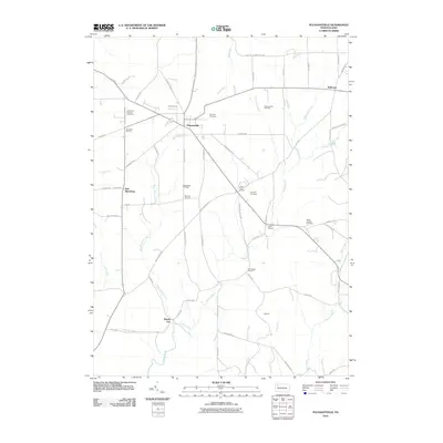 2010 Pleasantville2010 Print · USGSVenango County's oil heritage is on full display in this early 21st-century record of the Pennsylvania countryside. Researchers can trace the legacy of boomtowns and local families through sites like Pithole City, Pleasantville Oil Field, and Asbury Chapel Cemetery.
 - 2010 Map of Cooksburg, 2010 Print
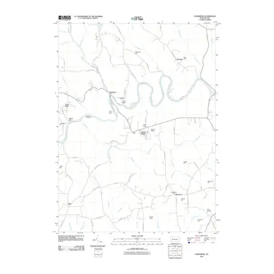 2010 Cooksburg2010 Print · USGSClarion County at the start of the 21st century remains defined by its winding river and steep ridges. Researchers can trace local lineage through sites like Cook Forest Cemetery, the Cook Tomb, and family landmarks such as Songer Hill.
 - 2011 Map of Sheffield, 2011 Print
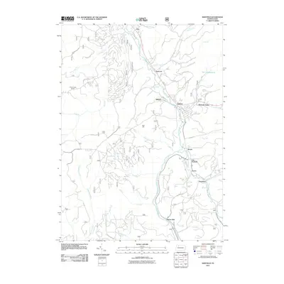 2011 Sheffield2011 Print · USGSThe Tionesta Creek valley in Warren County is captured here in the early twenty-first century, showing the enduring footprint of its industrial settlements. Genealogists and historians can trace family roots through Old Sheffield, Henrys Mills, and Shelander Hollow.
 - 2011 Map of West Hickory, 2011 Print
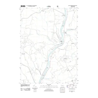 2011 West Hickory2011 Print · USGSThe Allegheny River corridor in the early twenty-first century remains defined by small riverside hamlets and rugged ridge-and-valley topography. Researchers can trace local landmarks and postal hubs like the Endeavor Post Office, Trunkeyville, and the family-named Butcherknife Hill.
 - 2011 Map of Lynch, 2011 Print
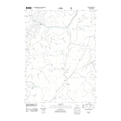 2011 Lynch2011 Print · USGSWarren County at the start of the 2010s reveals a network of forest roads and small creek-side settlements. Researchers can trace historic transport routes via the Old Railroad Grade and locate family landmarks at Watson Farm and Byromtown.
 - 2011 Map of Tylersburg, 2011 Print
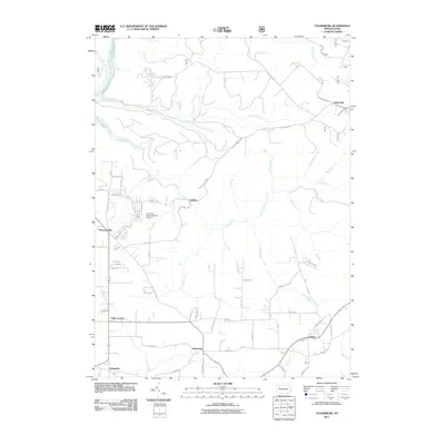 2011 Tylersburg2011 Print · USGSThis early 21st-century survey of Clarion County captures the rural character and small settlements of northwestern Pennsylvania. Genealogists can trace property access and local landmarks near Tylersburg, Newmansville, and the Armitage Newmansville Airport.
 - 2011 Map of Marienville West, 2011 Print
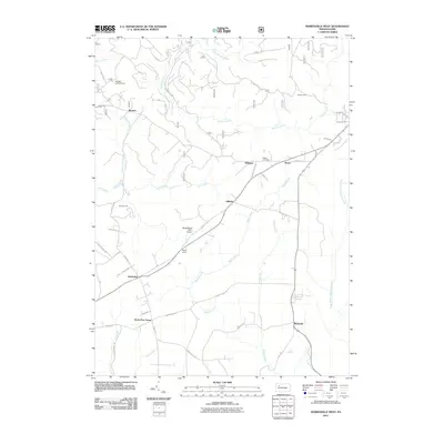 2011 Marienville West2011 Print · USGSForest County's timbered interior is mapped here in the early twenty-first century, showing a landscape of small hamlets and forest service roads. Researchers can locate the Muzette Lookout Tower, Shadowwood Farm Airport, and Roses Cemetery.
 - 2011 Map of Tidioute, 2011 Print
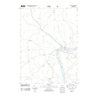 2011 Tidioute2011 Print · USGSThe riverfront and uplands of Warren County are captured here in the early twenty-first century as the Allegheny River winds past Tidioute. Genealogists and local historians can trace family-named sites like Gorman Cemetery, Grandin, and the Russian Houses.
 - 2011 Map of Cobham, 2011 Print
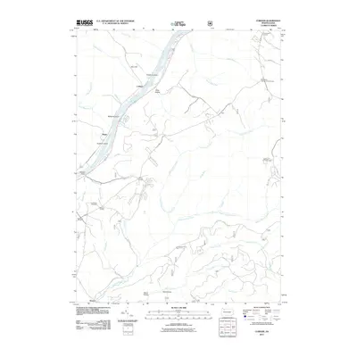 2011 Cobham2011 Print · USGSWarren County’s river valleys and forested highlands appear in detail during this era of modern mapping. Local researchers can trace old crossroads like Bimber Corners, find the Economite Cemetery, or locate the Wheeler Fire Tower.
 - 2011 Map of Sigel, 2011 Print
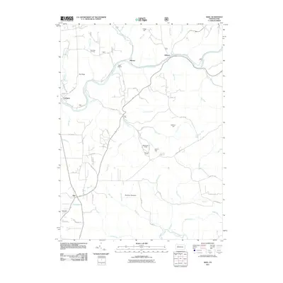 2011 Sigel2011 Print · USGSJefferson County’s forested highlands and river valleys are captured here in the early twenty-first century, showing the rural character of the Clarion River corridor. Researchers can locate family landmarks such as Blue Ridge Cemetery and the Beartown Rocks vista.
 - 2011 Map of Cherry Grove, 2011 Print
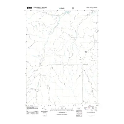 2011 Cherry Grove2011 Print · USGSCherry Grove and the surrounding Allegheny woodlands are captured here just after the turn of the millennium. Genealogists and historians can locate old crossroads like Vandergriff Corners and trace the waters of Minister Creek or Bobbs Creek.
 - 2011 Map of Tionesta, 2011 Print
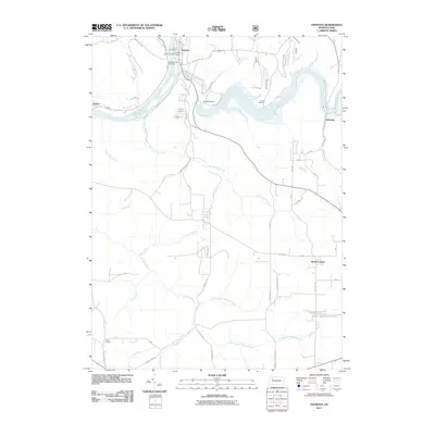 2011 Tionesta2011 Print · USGSThe riverfront town of Tionesta and its surrounding forest lands are documented here in the early twenty-first century. Researchers can trace the layout of the borough, find family names at Mount Collins Cemetery, and locate small settlements like Nebraska and Lake Lucy.
 - 2011 Map of Marienville East, 2011 Print
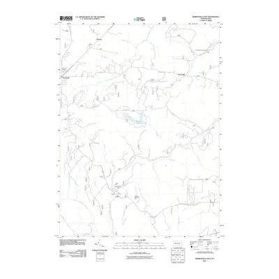 2011 Marienville East2011 Print · USGSElk County forest lands are captured here in the early twenty-first century, showing a landscape defined by deep creek branches and isolated settlements. Genealogists and hikers can trace old routes to North Forest Cemetery or locate the historic site of Loleta.
 - 2011 Map of Kellettville, 2011 Print
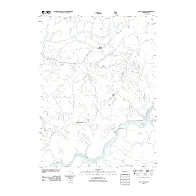 2011 Kellettville2011 Print · USGSForest County's timber and river landscapes are preserved here in the early twenty-first century. You can trace family roots at Whig Hill Cemetery or locate old industrial corridors like the Old Railroad Grade near Kellettville.
 - 2011 Map of Hallton, 2011 Print
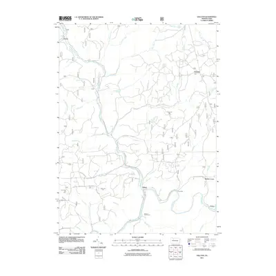 2011 Hallton2011 Print · USGSElk County's river valleys and gas fields are documented here in the early twenty-first century as the landscape maintains its industrial and woodland character. Researchers can pinpoint the Maxwell Run Cemetery, the Zimmerman Fire Tower, and historic sites like Irwins Mills.
 - 2011 Map of Russell City, 2011 Print
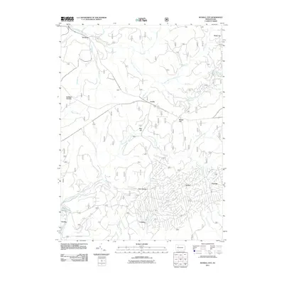 2011 Russell City2011 Print · USGSThe northern Pennsylvania woodlands are documented here during the early twenty-first century, showing a network of forest settlements and camps. Researchers can trace the layout of Russell City, Brookston, and the uniquely named Pigs Ear among numerous creek branches.
 - 2011 Map of Mayburg, 2011 Print
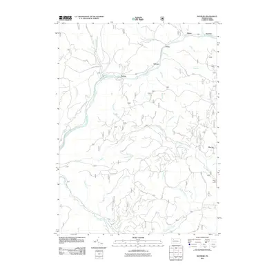 2011 Mayburg2011 Print · USGSForest County's timber and water systems are documented here at the start of the 2010s. Researchers can trace the legacy of small riverside settlements like Mayburg, Minister, and Balltown along the winding course of Tionesta Creek.
 - 2013 Map of Mayburg, 2013 Print
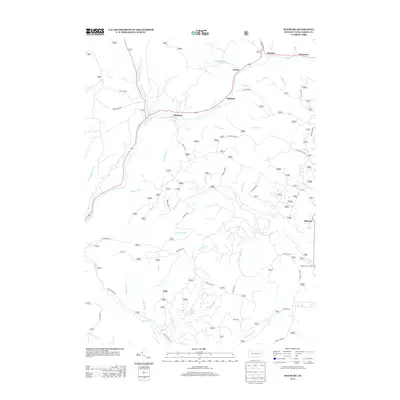 2013 Mayburg2013 Print · USGSForest County's timber and stream valleys are mapped here in the early twenty-first century as they appear along the winding Tionesta Cr. Genealogists and local historians can trace the locations of small settlements like Minister, Balltown, and the remote Seldom Seen Corners.
 - 2013 Map of Cobham, 2013 Print
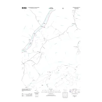 2013 Cobham2013 Print · USGSThe Allegheny River valley and the surrounding high timberlands are captured here in the early twenty-first century. Researchers can trace riverfront settlements like Cobham and Magee, or locate forest landmarks such as Wheeler Fire Tower and Sandstone Springs.
 - 2013 Map of President, 2013 Print
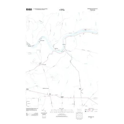 2013 President2013 Print · USGSThe winding curves of the Allegheny River define this Venango County landscape in the early twenty-first century. Researchers can trace the legacy of small riverside settlements like Oleopolis and Henrys Bend, or locate inland landmarks such as Hampton Station and Coal Hill.
 - 2013 Map of Cherry Grove, 2013 Print
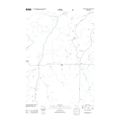 2013 Cherry Grove2013 Print · USGSWarren County’s forest lands and headwaters are captured here in the early twenty-first century, showing a landscape defined by timber and conservation. You can trace local landmarks like the Allegheny Fish Hatchery, the settlement at Cherry Grove, and the waters of Minister Cr.
 - 2013 Map of Pleasantville, 2013 Print
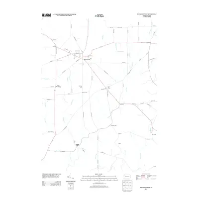 2013 Pleasantville2013 Print · USGSPleasantville and the surrounding Venango County oil country are detailed here during the early twenty-first century. Researchers can trace the legacy of the petroleum industry through the Shamburg Oil Field and locate historic crossroads like Pithole City and Jerusalem Corners.
 - 2013 Map of Russell City, 2013 Print
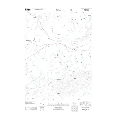 2013 Russell City2013 Print · USGSNorthwestern Pennsylvania forest lands appear in high detail in the early 2010s, showing a landscape of small settlements and logging history. Researchers can trace rural routes to Russell City, Pigs Ear, and Brookston along the S Br Tionesta Cr.
 - 2013 Map of Sheffield, 2013 Print
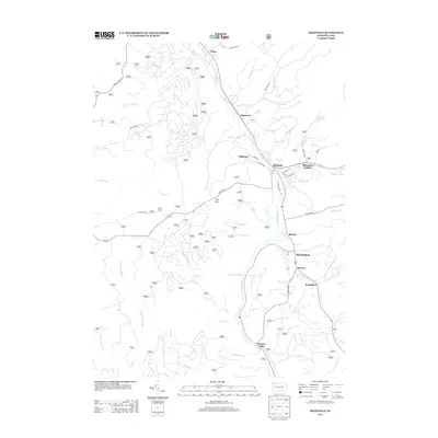 2013 Sheffield2013 Print · USGSWarren County, Pennsylvania, is shown in the early twenty-first century, centered on the community of Sheffield and the winding Tionesta Cr. Researchers can trace local lineage and landmarks through features like Old Sheffield, Henrys Mills, and Deer Lick Reservoir.
Showing maps 1-25 of 90
Top cities of Forest County
Frequently asked questions
- What are the different types of historical maps available for Forest County?
- What is the oldest map of Forest County?
- Where can I purchase historical maps of Forest County for my home or office?
- Where can I download high-res historical maps of Forest County?
- Are there historical topographic maps available for Forest County?
- Is there historical aerial imagery available for Forest County?
- Where are historical maps of Forest County sourced from?