Old Maps of Green Township, Pennsylvania for Genealogy
Trace your family roots with 45 historic maps of Green Township. These high-res maps reveal old neighborhoods, homesites, landmarks, and streets — helping you uncover where your ancestors lived and how the area evolved over time.
- Explore historic neighborhoods: Identify where your relatives may have lived in the 1800s or 1900s.
- Compare maps over time: Trace the changes in streets, buildings, and landmarks for multi-generational research.
- Perfect for genealogy & ancestry research: Used by family historians and researchers to map out lineage and migration.
These maps are an incredible resource for exploring your personal connection to Green Township's past.
Green Township, PA maps
(45)- 1918 Map of Loleta
 1918 Loleta1918 Print · USGSThe Pennsylvania timber and rail country comes to life in this late-war tactical survey of the Clarion River valley. Genealogists and researchers can trace the early footprints of Marienville, Clarington, and the now-quiet settlement of Loleta.
 - 1922 Map of Tionesta, 1953 Print
 1922 Tionesta1953 Print · USGSNorthwestern Pennsylvania in the early twenties reveals a landscape defined by timber, the Allegheny River, and a dense network of country schools. Researchers can trace the legacy of small communities like Lucinda, Newmansville, and Fryburg alongside early railroad corridors.3 unique versions available
 - 1924 Map of Tionesta
 1924 Tionesta1924 Print · USGSThe northern Pennsylvania plateau comes alive in the early 1920s as the Allegheny National Forest was being established. Genealogists can trace hundreds of family-named landmarks and rural schoolhouses like Amsler School and Helen Furnace along the Baltimore and Ohio rail lines.4 unique versions available
 - 1927 Map of Tidioute
 1927 Tidioute1927 Print · USGSThe Allegheny River valley was a bustling corridor of rail and river industry in the late twenties. Genealogists can trace family footprints across dozens of local schoolhouses like Triumph Sch and rural hubs such as Endeavor or East Hickory.4 unique versions available
 - 1930 Map of Tidioute
 1930 Tidioute1930 Print · USGSThe Allegheny River valley and the Pennsylvania Railroad corridor are shown in detail during the late 1920s. Genealogists and historians can trace defunct school sites like Triumph Sch and remote settlements such as Fagundus or Trunkeyville.4 unique versions available
 - 1936 Map of Marienville
 1936 Marienville1936 Print · USGSThe Pennsylvania highlands between the Clarion River and Allegheny National Forest appear here in the mid-1930s. Researchers can trace the Baltimore and Ohio RR through Marienville or locate family landmarks like Donnely Cem and Greenwood Ch.3 unique versions available
 - 1941 Map of Marienville
 1941 Marienville1941 Print · USGSForest, Clarion, and Jefferson counties meet along the winding Clarion River in this pre-war survey of northern Pennsylvania's timberlands. Genealogists can locate numerous rural schoolhouses and social landmarks like Kahletown Hall, Greenwood Ch, and the Downey Cem.3 unique versions available
 - 1946 Map of Tionesta
 1946 Tionesta1946 Print · USGSClarion and Forest Counties appear here in the 1940s, a period when rural schoolhouses and family-named hamlets still defined the interior ridges. Researchers can trace the Allegheny River and Clarion River or find specific landmarks like the Oil Field and Highland Township High Sch.
 - 1957 Map of Warren, 1964 Print
 1957 Warren1964 Print · USGSThe northern Pennsylvania oil and timber country comes into focus in the mid-fifties, showing the region before modern highway expansions. Trace the industrial rail networks of the Pennsylvania RR and the early Allegheny River Reservoir near Warren and Oil City.4 unique versions available
 - 1958 Map of Warren
 1958 Warren1958 Print · USGSNorthern Pennsylvania’s timber and oil country is captured here during the late fifties, showing the interplay of industrial valleys and vast state forests. Genealogists can trace family connections across the Cornplanter Indian Reservation or through rail hubs like Oil City and Saint Marys.
 - 1959 Map of Warren
 1959 Warren1959 Print · USGSNorthern Pennsylvania's oil and timber country comes alive in this late-fifties study of the forest-clad plateaus. Trace the historic Cornplanter (Indian Reservation), the sprawling Oil Field, and the rail lines of the Pennsylvania RR.2 unique versions available
 - 1966 Map of West Hickory, 1967 Print
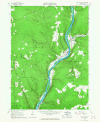 1966 West Hickory1967 Print · USGSThe Allegheny River valley in the mid-1960s shows a landscape of active oil production and deep timberlands. Researchers can locate numerous oil wells across Preacher Hill and trace the historic Little Hickory Furnace and State Fish Hatchery.5 unique versions available
 - 1966 Map of Kelletteville, 1967 Print
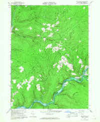 1966 Kelletteville1967 Print · USGSForest County in the mid-1960s shows a landscape of deep timber and evolving waterways within the Allegheny National Forest. Researchers can trace the heritage of Kellettville, locate the Whig Hill Cemetery, and follow the path of an Old Railroad Grade along the creek.3 unique versions available
 - 1967 Map of Tylersburg, 1971 Print
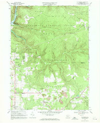 1967 Tylersburg1971 Print · USGSClarion and Forest counties are shown here in the late sixties, where extraction and deep forests define the terrain. Genealogists can locate family sites in Tylersburg, Lickingville, and Golinza, or trace the Baltimore and Ohio rail line.4 unique versions available
 - 1967 Map of Marienville West, 1971 Print
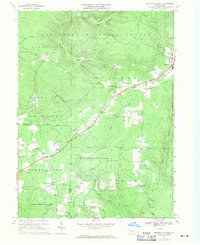 1967 Marienville West1971 Print · USGSForest and Clarion counties in the late sixties reveal a landscape defined by state forests and the energy industry. Genealogists and historians can trace the Baltimore and Ohio line to remote stops like Vowinckel, find the Muzette Lookout Tower, or locate country churches like Greenwood Ch.3 unique versions available
 - 1967 Map of Tionesta, 1971 Print
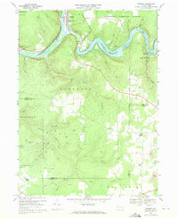 1967 Tionesta1971 Print · USGSThe Allegheny River valley and the Allegheny National Forest meet in this late 1960s study of Forest County. Researchers can trace the industrial footprint of numerous Oil Wells and rural landmarks such as Mt Collins Cem and the Tionesta Dam.2 unique versions available
 - 1971 Map of Warren
 1971 Warren1971 Print · USGSNorth Central Pennsylvania is captured here in the early seventies, showing a landscape defined by industrial centers and massive state forests. Genealogists and historians can trace the rail lines of the Penn Central and Erie Lackawanna connecting towns like Warren, Kane, and Du Bois.
 - 1983 Map of Oil City, 1984 Print
 1983 Oil City1984 Print · USGSThe Allegheny and Clarion river valleys are shown in the early eighties as a hub of rail lines and conservation lands. Genealogists can trace family connections in Oil City and Franklin or locate rural sites like the Pennsylvania State Hospital and School and Coal City.
 - 1983 Map of Warren, 1984 Print
 1983 Warren1984 Print · USGSNorthwestern Pennsylvania at the dawn of the 1980s reveals a landscape defined by the petroleum industry and expansive public lands. Trace the legacy of early oil at Drake Well Memorial Park and Pithole City Historical Site, or locate family sites near Warren State Hospital and Kellettville.
 - 1997 Map of West Hickory, 2000 Print
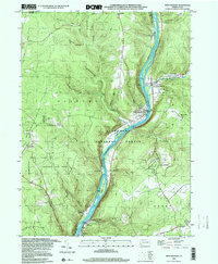 1997 West Hickory2000 Print · USGSThe Allegheny River valley comes into sharp focus during the late 1990s as it winds through Pennsylvania's public forest lands. Genealogists and historians can locate family landmarks like Fagundus, the State Fish Hatchery, and the Cem near East Hickory.
 - 2011 Map of West Hickory, 2011 Print
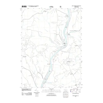 2011 West Hickory2011 Print · USGSThe Allegheny River corridor in the early twenty-first century remains defined by small riverside hamlets and rugged ridge-and-valley topography. Researchers can trace local landmarks and postal hubs like the Endeavor Post Office, Trunkeyville, and the family-named Butcherknife Hill.
 - 2011 Map of Tylersburg, 2011 Print
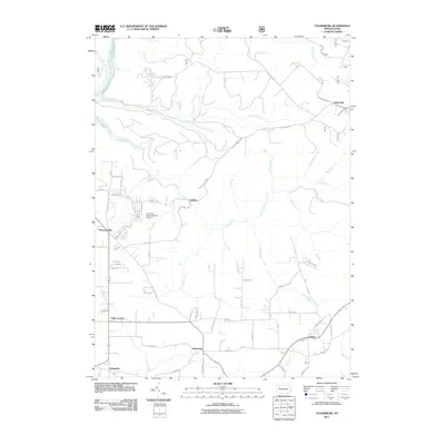 2011 Tylersburg2011 Print · USGSThis early 21st-century survey of Clarion County captures the rural character and small settlements of northwestern Pennsylvania. Genealogists can trace property access and local landmarks near Tylersburg, Newmansville, and the Armitage Newmansville Airport.
 - 2011 Map of Marienville West, 2011 Print
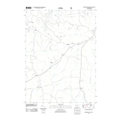 2011 Marienville West2011 Print · USGSForest County's timbered interior is mapped here in the early twenty-first century, showing a landscape of small hamlets and forest service roads. Researchers can locate the Muzette Lookout Tower, Shadowwood Farm Airport, and Roses Cemetery.
 - 2011 Map of Tionesta, 2011 Print
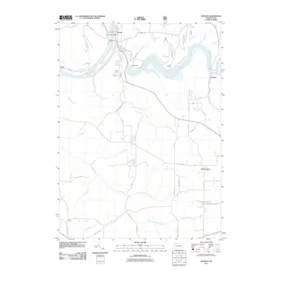 2011 Tionesta2011 Print · USGSThe riverfront town of Tionesta and its surrounding forest lands are documented here in the early twenty-first century. Researchers can trace the layout of the borough, find family names at Mount Collins Cemetery, and locate small settlements like Nebraska and Lake Lucy.
 - 2011 Map of Kellettville, 2011 Print
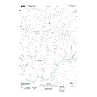 2011 Kellettville2011 Print · USGSForest County's timber and river landscapes are preserved here in the early twenty-first century. You can trace family roots at Whig Hill Cemetery or locate old industrial corridors like the Old Railroad Grade near Kellettville.
Showing maps 1-25 of 45
Top cities near Green Township
- Sheffield Township historical maps
- Tidioute historical maps
- Tionesta historical maps
- President Township historical maps
- Triumph Township historical maps
- Cherry Grove Township historical maps
See more
Top neighborhoods of Green Township
- Nebraska historical maps
- Kiser Corners historical maps
- Golinza historical maps
- Guitonville historical maps
Frequently asked questions
- What are the different types of historical maps available for Green Township?
- What is the oldest map of Green Township?
- Where can I purchase historical maps of Green Township for my home or office?
- Where can I download high-res historical maps of Green Township?
- Are there historical topographic maps available for Green Township?
- Is there historical aerial imagery available for Green Township?
- Where are historical maps of Green Township sourced from?