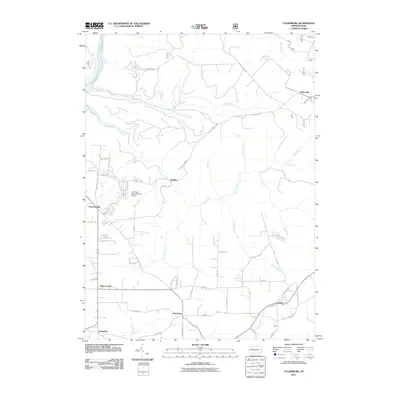
2011 Map of Tylersburg
USGS Topo · Published 2011About this map
Tylersburg and its surrounding rural hamlets in Clarion County are mapped here in detail during the early 21st century. The landscape is defined by the drainage basins of Coon Creek and Licking Creek, where the terrain is carved into a series of ridges and hollows. Small settlements like Newmansville, Lickingville, and Frills Corners are connected by a network of local roads such as Piney Rd and Golinza Rd.
Find a feature on this map
55 named features on this map. Tap any name to fly to it.
Don’t see what you’re looking for? This feature index may not catch every label — zoom into the map to look around manually.
Map Details
Editions of this 2011 Tylersburg Map
This is the sole edition of this map. No revisions or reprints were ever made.
Other maps of this area

1918 · Loleta
USGS Topo · 1:62,500

1922 · Tionesta
USGS Topo · 1:62,500

1924 · Tionesta
USGS Topo · 1:62,500

1927 · Tidioute
USGS Topo · 1:48,000

1930 · Tidioute
USGS Topo · 1:62,500

1935 · Sheffield
USGS Topo · 1:48,000

1936 · Marienville
USGS Topo · 1:48,000

1941 · Sheffield
USGS Topo · 1:62,500

1941 · Marienville
USGS Topo · 1:62,500

1946 · Tionesta
USGS Topo · 1:62,500