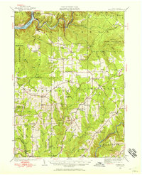
1946 Map of Tionesta
USGS Topo · Published 1946About this map
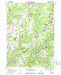
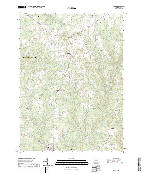
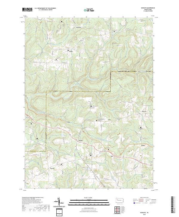
The Allegheny River and Clarion River bracket a landscape of high ridges and deep valleys within Forest, Venango, and Clarion Counties. This mid-century survey reveals a rural society structured around local crossroads and one-room schoolhouses, such as Youngk Hill Sch and Rattlesnake Sch, long before the consolidation of modern districts. An extensive Oil Field north of Venus and Fryburg points to the region's industrial heritage, while the State Game Preserve in the northeast suggests early conservation efforts in the Pennsylvania woods.
Find a feature on this map
84 named features on this map. Tap any name to fly to it.
Don’t see what you’re looking for? This feature index may not catch every label — zoom into the map to look around manually.
Map Details
Editions of this 1946 Tionesta Map
This is the sole edition of this map. No revisions or reprints were ever made.
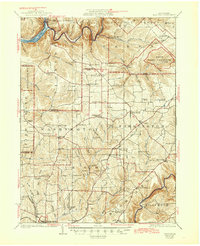
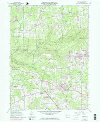
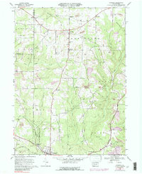
Historical Maps of Tionesta Through Time
9 maps found