Old Maps of Dunring, Jenks Township for Metal Detecting
Plan your next treasure hunt with 13 historic maps of Dunring. Find old homesites, ghost towns, trails, and gathering spots that may be lost to time — perfect for identifying promising metal detecting locations.
- Locate forgotten sites: Uncover places like long-lost settlements, abandoned rail lines, or gathering spots.
- Plan better hunts: Use map overlays combined with LiDAR or satellite views to narrow in on historically rich areas.
- Made for detectorists: Thousands of hobbyists use these maps to discover relics, coins, and hidden history.
Use these historic maps to boost your research and find new opportunities beneath the surface of Dunring.
Dunring, Jenks Township maps
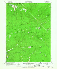
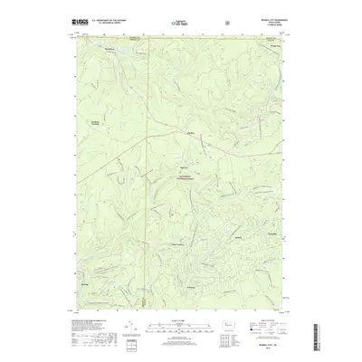
(13)- 1934 Map of Kane
 1934 Kane1934 Print · USGSThe timber and oil lands of McKean and Elk counties are captured here in the mid-1930s as a network of railroads and pipelines. Researchers can trace family roots in settlements like De Young PO, locate CCC Camp No 7, or find the Greendale Sch.3 unique versions available
 - 1939 Map of Kane
 1939 Kane1939 Print · USGSThe northern Pennsylvania plateau in the late 1930s is a landscape of timber-towns and industrial rail sidings. Genealogists and researchers can trace the old Baltimore and Ohio line through Kane, James City, and the rural Russell City De Young P O.3 unique versions available
 - 1957 Map of Warren, 1964 Print
 1957 Warren1964 Print · USGSThe northern Pennsylvania oil and timber country comes into focus in the mid-fifties, showing the region before modern highway expansions. Trace the industrial rail networks of the Pennsylvania RR and the early Allegheny River Reservoir near Warren and Oil City.4 unique versions available
 - 1958 Map of Warren
 1958 Warren1958 Print · USGSNorthern Pennsylvania’s timber and oil country is captured here during the late fifties, showing the interplay of industrial valleys and vast state forests. Genealogists can trace family connections across the Cornplanter Indian Reservation or through rail hubs like Oil City and Saint Marys.
 - 1959 Map of Warren
 1959 Warren1959 Print · USGSNorthern Pennsylvania's oil and timber country comes alive in this late-fifties study of the forest-clad plateaus. Trace the historic Cornplanter (Indian Reservation), the sprawling Oil Field, and the rail lines of the Pennsylvania RR.2 unique versions available
 - 1966 Map of Russell City, 1967 Print
 1966 Russell City1967 Print · USGSElk and Forest Counties in the mid-1960s were centers of active timber and energy production within the Allegheny National Forest. Genealogists and researchers can trace the rail-and-resource economy through sites like Russell City, Sheffield Junction, and the numerous gas wells dotting the hills.4 unique versions available
 - 1971 Map of Warren
 1971 Warren1971 Print · USGSNorth Central Pennsylvania is captured here in the early seventies, showing a landscape defined by industrial centers and massive state forests. Genealogists and historians can trace the rail lines of the Penn Central and Erie Lackawanna connecting towns like Warren, Kane, and Du Bois.
 - 1980 Map of Bradford, 1982 Print
 1980 Bradford1982 Print · USGSNorthern Pennsylvania's oil country and deep forests are captured here during the 1980s. Genealogists and researchers can trace rail-side settlements like Kushequa, Gifford, and Lewis Run or locate specific Oil and Gas Field sites across the plateau.
 - 2011 Map of Russell City, 2011 Print
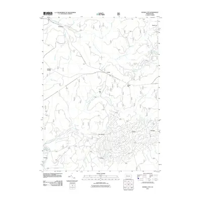 2011 Russell City2011 Print · USGSCovers Dunring, including Sheffield Township, Sackett, and other nearby areas
 - 2013 Map of Russell City, 2013 Print
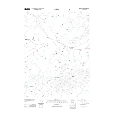 2013 Russell City2013 Print · USGSCovers Dunring, including Sheffield Township, Sackett, and other nearby areas
 - 2016 Map of Russell City, 2016 Print
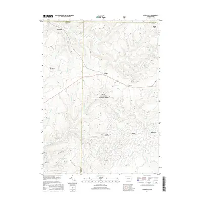 2016 Russell City2016 Print · USGSCovers Dunring, including Sheffield Township, Sackett, and other nearby areas
 - 2019 Map of Russell City, 2019 Print
 2019 Russell City2019 Print · USGSCovers Dunring, including Sheffield Township, Sackett, and other nearby areas
 - 2023 Map of Russell City, 2023 Print
 2023 Russell City2023 Print · USGSThe Allegheny National Forest is shown here at the intersection of four counties during the twenty-first century. Researchers can trace remote settlements and cemeteries such as Brookston, Pigs Ear, and the Brookston Cem amidst an extensive network of modern forest trails.
End of results
Showing maps 1-13 of 13
Top cities near Dunring
- Kane historical maps
- Sheffield Township historical maps
- Wetmore historical maps
- Warsaw Township historical maps
- Cherry Grove Township historical maps
- Millstone Township historical maps
Frequently asked questions
- What are the different types of historical maps available for Dunring?
- What is the oldest map of Dunring?
- Where can I purchase historical maps of Dunring for my home or office?
- Where can I download high-res historical maps of Dunring?
- Are there historical topographic maps available for Dunring?
- Is there historical aerial imagery available for Dunring?
- Where are historical maps of Dunring sourced from?