2000s (21st Century) Maps of Metal Township, Pennsylvania
Explore 30 historic maps of Metal Township from the 2000s (21st Century). These maps offer a rare glimpse into what life looked like during the 2000s — showing old roads, neighborhoods, homes, and landmarks that have changed or disappeared over time.
Whether you're researching your family's past, planning a metal detecting trip, or studying how Metal Township's landscape evolved across the 2000s, these high-resolution maps are a powerful tool for exploring the history of this region.
- Focus on a specific era: All maps on this page are from the 2000s, giving you a focused view of this time period.
- See what’s changed: Compare century-old streets, trails, and buildings to today's modern landscape using overlays and satellite layers.
- Research with precision: Use these maps for genealogy, historical research, land use analysis, or educational projects.
- View, download, or print: Maps are fully viewable online in high resolution, and can be downloaded or printed for your own records.
Start exploring Metal Township's history through authentic maps from the 2000s. This is your window into the past.
Metal Township, PA maps
(30)- 2010 Map of Saint Thomas, 2010 Print
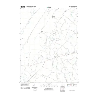 2010 Saint Thomas2010 Print · USGSFranklin County communities meet the Appalachian ridges in the early twenty-first century. Genealogists and local historians can trace family locations near Saint Thomas, Franklin Furnace, and Edenville, or explore landmarks like Parnell Knob and Cradle Gap.
 - 2010 Map of Fannettsburg, 2010 Print
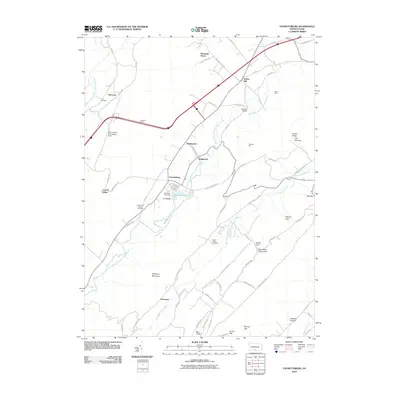 2010 Fannettsburg2010 Print · USGSPath Valley and the surrounding ridges of Franklin County are shown here at the start of the 2010s. Researchers can locate long-standing landmarks like Hoovers Mill, the Tuscarora Tunnel, and several historic burying grounds such as Cree Cemetery.
 - 2010 Map of Shade Gap, 2010 Print
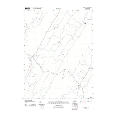 2010 Shade Gap2010 Print · USGSShade Gap and the ridges of Franklin County are shown in this 2010 study of rural Pennsylvania valley life. Genealogists can trace family heritage through numerous burial sites like the Bollinger Family Cemetery and Possumtown Cemetery.
 - 2010 Map of Roxbury, 2010 Print
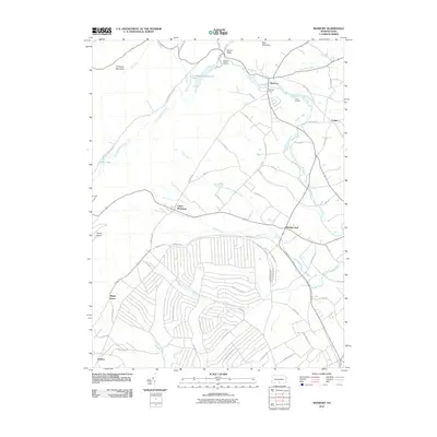 2010 Roxbury2010 Print · USGSLurgan Township and the surrounding valleys are shown here at the turn of the millennium, where agriculture meets specialized military-related infrastructure. Genealogists and researchers can trace the roads around Upper Strasburg, find local landmarks like Holiness Camp, and explore the unique grid of Rocket Rd.
 - 2010 Map of Burnt Cabins, 2010 Print
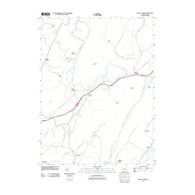 2010 Burnt Cabins2010 Print · USGSThe Pennsylvania ridge-and-valley country comes into sharp focus at the start of the twenty-first century, showing a landscape defined by gaps and historic trails. Trace the routes of Forbes Trail Rd and Stage Coach Rd near the old sites of Fort Littleton and Burnt Cabins.
 - 2010 Map of McConnellsburg, 2010 Print
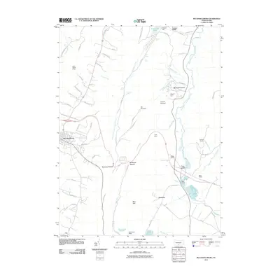 2010 McConnellsburg2010 Print · USGSFranklin County's mountain gaps and valley settlements are shown here in the early twenty-first century. Genealogists and local historians can trace the roads and waterways connecting McConnellsburg, Fort Loudon, and the historic Richmond Furnace.
 - 2013 Map of McConnellsburg, 2013 Print
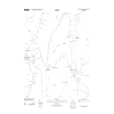 2013 McConnellsburg2013 Print · USGSFranklin County's ridge-and-valley landscape is documented here in the early twenty-first century. Genealogists and hikers can trace the geography of McConnellsburg, the industrial heritage of Richmond Furnace, and numerous natural features like Gum Spring or Tuscarora Summit.
 - 2013 Map of Roxbury, 2013 Print
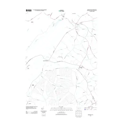 2013 Roxbury2013 Print · USGSFranklin County's rural valley communities and mountain gaps are captured here just over a decade ago. Genealogists and local historians can trace family-named roads and settlements from Pleasant Hall to the secluded Gunter Valley and the Holiness Camp grounds.
 - 2013 Map of Shade Gap, 2013 Print
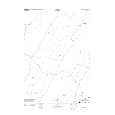 2013 Shade Gap2013 Print · USGSThe Ridge-and-Valley region of Pennsylvania comes into focus in this early twenty-first-century survey of Franklin and Huntingdon Counties. Researchers can trace the layout of traditional valley settlements like Shade Gap, Neelyton, and Spring Run or locate the Mills Brothers Airport.
 - 2013 Map of Burnt Cabins, 2013 Print
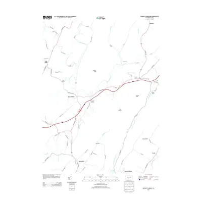 2013 Burnt Cabins2013 Print · USGSThe Ridge and Valley landscape of south-central Pennsylvania is shown here in the early twenty-first century, structured by historic gaps and narrow hollows. Researchers can trace the path of the old Forbes Trail Rd and locate rural landmarks like Burnt Cabins, Fort Littleton, and Cowans Gap Lake.
 - 2013 Map of Fannettsburg, 2013 Print
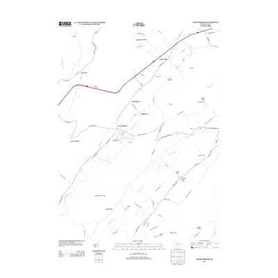 2013 Fannettsburg2013 Print · USGSThe Path Valley region of Franklin County is mapped here in the early twenty-first century as it sits between towering ridgelines. Genealogists and local historians can trace small settlements and crossings like Fannettsburg, Hoovers Bridge, and the historic Tuscarora Tunnel.
 - 2013 Map of Saint Thomas, 2013 Print
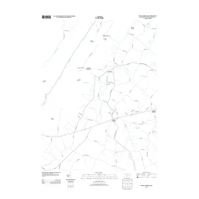 2013 Saint Thomas2013 Print · USGSFranklin County's rural landscape is captured here in the early twenty-first century, where valley settlements give way to mountain gaps. Trace local history through Franklin Furnace, the pass at Yankees Gap, and the slopes of Parnell Knob.
 - 2016 Map of Roxbury, 2016 Print
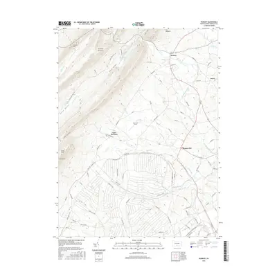 2016 Roxbury2016 Print · USGSLurgan Township and the surrounding Franklin County ridges are shown here in the mid-2010s, where high mountains meet valley settlements. Researchers can trace the layout of historic villages like Upper Strasburg and Roxbury or locate the Letterkenny Reservoir and Spud View Airport.
 - 2016 Map of Fannettsburg, 2016 Print
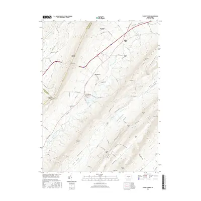 2016 Fannettsburg2016 Print · USGSFranklin County's Path Valley is shown here in the mid-2010s, where small farming communities sit between the high ridges of the Appalachians. Researchers can trace family sites at Lower Path Valley Cem and explore the geography of Fannettsburg or the Tuscarora Tunnel.
 - 2016 Map of Shade Gap, 2016 Print
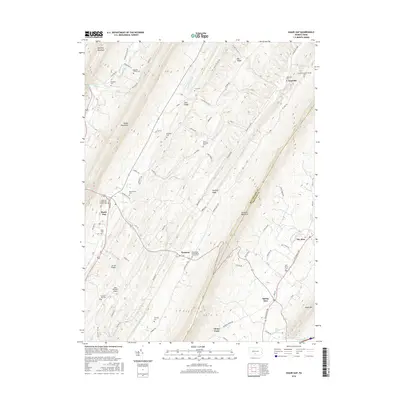 2016 Shade Gap2016 Print · USGSThe ridge-and-valley terrain of Franklin and Huntingdon Counties is meticulously detailed here in the mid-2010s. Researchers can locate family burial sites like Bolinger Family Cem and trace rural life around Shade Gap and Neelyton.
 - 2016 Map of Burnt Cabins, 2016 Print
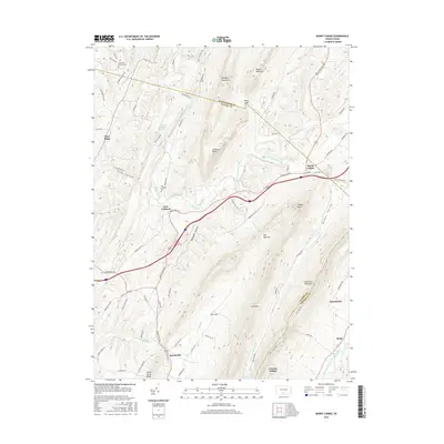 2016 Burnt Cabins2016 Print · USGSThe Pennsylvania frontier comes to life in this mid-2010s survey of the mountain gaps and valleys where Fulton Co and Franklin Co meet. Genealogists and historians can trace the foundations of Fort Littleton, locate the Cromwell Church Cem, and explore the mountain hamlets of Burnt Cabins and Knobsville.
 - 2016 Map of Saint Thomas, 2016 Print
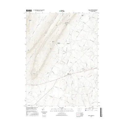 2016 Saint Thomas2016 Print · USGSFranklin County's western valleys and mountain ridges are documented here during the mid-2010s. Genealogists and local historians can trace family locations near Saint Thomas, the site of Franklin Furnace, and the rugged surroundings of Parnell Knob.
 - 2016 Map of McConnellsburg, 2016 Print
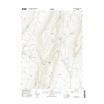 2016 McConnellsburg2016 Print · USGSThe ridges of Franklin and Fulton counties come alive in this recent survey, showcasing the valley settlements between Tuscarora Mountain and Kittatinny Mountain. Researchers can trace the local history of McConnellsburg and the industrial roots of Richmond Furnace.
 - 2019 Map of Roxbury, 2019 Print
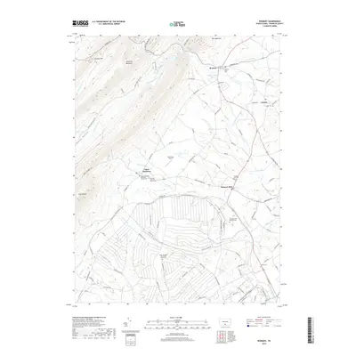 2019 Roxbury2019 Print · USGSFranklin County's rural valley communities are documented here in the late twenty-teens, showing the enduring structure of its historic villages and mountain gaps. Genealogists can locate family sites at the Pleasant Hall Cem, Air Hill Cem, or the Emanuel Lutheran Church Cem.
 - 2019 Map of Burnt Cabins, 2019 Print
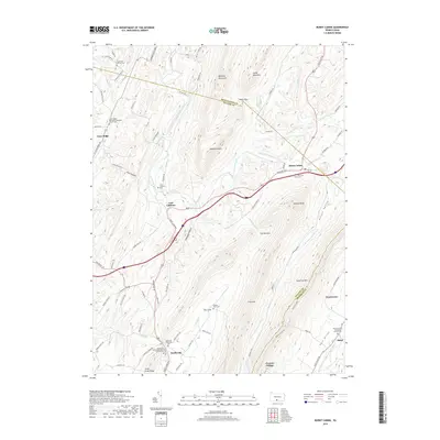 2019 Burnt Cabins2019 Print · USGSCentral Pennsylvania's ridges and valleys shaped these rural communities into the twenty-first century. Genealogists can locate family sites at the Englert Farm Cem, Burnt Cabins, or churches like the Knobsville Reformed Church.
 - 2019 Map of Shade Gap, 2019 Print
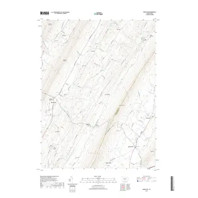 2019 Shade Gap2019 Print · USGSRidge-and-valley settlements in Huntingdon and Franklin counties are captured here in the modern era as they follow the ancient paths of the Appalachians. Genealogists can trace family names at the Bolinger Family Cem, Possumtown Cem, or the Shade Gap Presbyterian Church Cem.
 - 2019 Map of Fannettsburg, 2019 Print
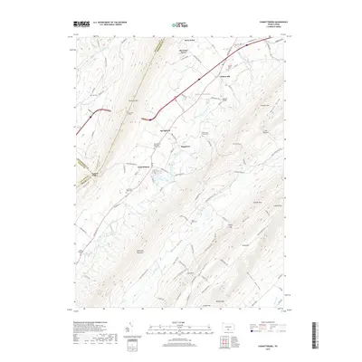 2019 Fannettsburg2019 Print · USGSFranklin County's high ridges and agricultural valleys are captured here in the contemporary era, centered on the historic crossroads of Fannettsburg. Genealogists and local historians can locate many family burial sites, such as the Shetler Family Cem and Horse Valley Cem, or trace the path of the Tuscarora Tunnel.
 - 2019 Map of McConnellsburg, 2019 Print
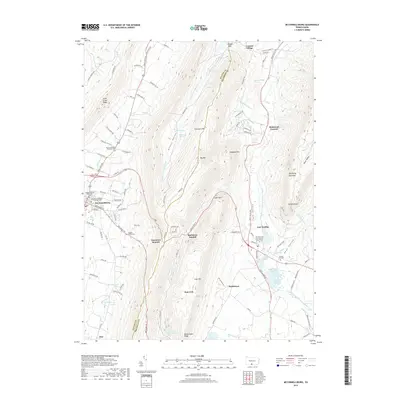 2019 McConnellsburg2019 Print · USGSFulton and Franklin counties are shown here as the ridges of the Appalachians meet the valley settlements. Genealogists can trace family names at the Magsam Family Cem, Stenger Hill Cem, and the historic industrial site at Richmond Furnace.
 - 2019 Map of Saint Thomas, 2019 Print
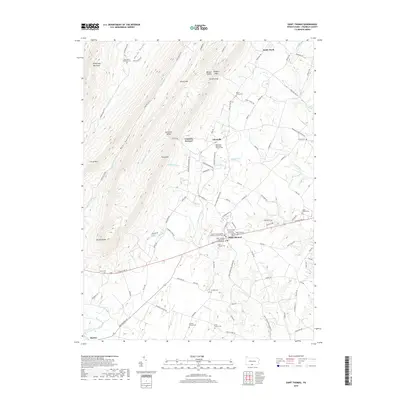 2019 Saint Thomas2019 Print · USGSFranklin County's transition from valley farms to mountain ridges is captured here in the late 2010s. Researchers can trace numerous family legacies at the Coble Family Cem, Brandts Church Cem, and the historic industrial site at Franklin Furnace.
 - 2023 Map of McConnellsburg, 2023 Print
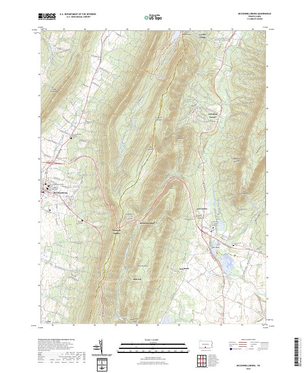 2023 McConnellsburg2023 Print · USGSThe valleys and high ridges of Fulton and Franklin Counties are documented here as they appeared in recent years. Genealogists can locate family burial sites like Magsam Family Cem and the McConnellsburg Methodist Cem or explore the history of Richmond Furnace.
Showing maps 1-25 of 30
Top cities near Metal Township
- Chambersburg historical maps
- Quincy Township historical maps
- Lurgan Township historical maps
- Guilford Township historical maps
- Mercersburg historical maps
- McConnellsburg historical maps
See more
Top neighborhoods of Metal Township
- Willow Hill historical maps
- Fannettsburg historical maps
- Cowans Village historical maps
- Richmond Furnace historical maps
- Mountain Green historical maps
- Boggstown historical maps
See more
Frequently asked questions
- What are the different types of historical maps available for Metal Township?
- What is the oldest map of Metal Township?
- Where can I purchase historical maps of Metal Township for my home or office?
- Where can I download high-res historical maps of Metal Township?
- Are there historical topographic maps available for Metal Township?
- Is there historical aerial imagery available for Metal Township?
- Where are historical maps of Metal Township sourced from?