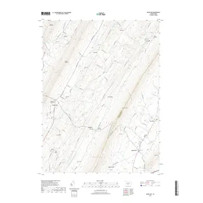
2019 Map of Shade Gap
USGS Topo · Published 2019About this map
Shade Gap and Neelyton sit within a landscape defined by the parallel ridges of the Appalachian Mountains, including Shade Mountain and Tuscarora Mtn. This topographic study reveals a settlement pattern dictated by the narrow valleys, where small communities like Nossville and Spring Run follow the paths of Tuscarora Cr and Shade Cr. The density of family and community burial grounds, such as Bolinger Family Cem, Jones / Chapman / Parson Cem, and Possumtown Cem, provides a significant genealogical record of the rural population centers in this portion of the Huntingdon and Franklin county border. Transportation and local infrastructure are represented by the Mills Brothers Airport and a network of logging roads, while the presence of the Shade Gap Presbyterian Church Cem and Pine Grove Presbyterian Church Cem highlights the central role of local congregations in these valley communities.
Find a feature on this map
89 named features on this map. Tap any name to fly to it.
Don’t see what you’re looking for? This feature index may not catch every label — zoom into the map to look around manually.
Map Details
Editions of this 2019 Shade Gap Map
This is the sole edition of this map. No revisions or reprints were ever made.
Other maps of this area

1919 · Mattawana
USGS Topo · 1:62,500

1922 · Mt Union
USGS Topo · 1:48,000

1923 · Shippensburg
USGS Topo · 1:62,500

1924 · Mt. Union
USGS Topo · 1:62,500

1936 · East Waterford
USGS Topo · 1:48,000

1939 · Orbisonia
USGS Topo · 1:62,500

1940 · Orbisonia
USGS Topo · 1:62,500

1941 · East Waterford
USGS Topo · 1:62,500

1943 · Shippensburg
USGS Topo · 1:62,500

1944 · Orbisonia
USGS Topo · 1:62,500