
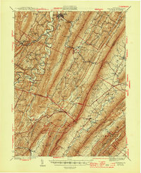
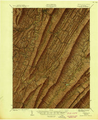
1944 Map of Orbisonia
USGS Topo · Published 1944About this map
The East Broad Top RR winds through the narrow valleys of Huntingdon and Fulton Counties, connecting industrial outposts like Rockhill and Orbisonia to the surrounding ridge-and-valley terrain. This era of Pennsylvania's infrastructure is defined by the sharp contrast between the local narrow-gauge rail lines and the sweeping modern path of the Pennsylvania Turnpike, which cuts across the southern portion of the map near Burnt Cabins and Ft Littleton.
Find a feature on this map
104 named features on this map. Tap any name to fly to it.
Don’t see what you’re looking for? This feature index may not catch every label — zoom into the map to look around manually.
Map Details
Editions of this 1944 Orbisonia Map
3 editions found
Other maps of this area

1900 · Mercersburg
USGS Topo · 1:62,500

1901 · Huntingdon
USGS Topo · 1:62,500

1902 · Chambersburg
USGS Topo · 1:62,500

1902 · Mercersburg
USGS Topo · 1:62,500

1904 · Huntingdon
USGS Topo · 1:62,500

1919 · Mattawana
USGS Topo · 1:62,500

1922 · Mt Union
USGS Topo · 1:48,000

1923 · Shippensburg
USGS Topo · 1:62,500

1924 · Mt. Union
USGS Topo · 1:62,500

1925 · Needmore
USGS Topo · 1:48,000